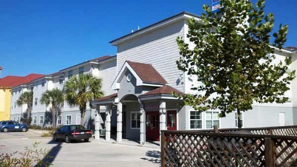
Winnie, TX
Advertisement
Winnie, TX Map
Winnie is a US city in Chambers County in the state of Texas. Located at the longitude and latitude of -94.383300, 29.818900 and situated at an elevation of 8 meters. In the 2020 United States Census, Winnie, TX had a population of 3,162 people. Winnie is in the Central Standard Time timezone at Coordinated Universal Time (UTC) -6. Find directions to Winnie, TX, browse local businesses, landmarks, get current traffic estimates, road conditions, and more.
Winnie, Texas, is a small town known primarily for its strong sense of community and its role as a gateway to the beautiful natural landscapes of Southeast Texas. This town is famous for hosting the Texas Rice Festival, an annual event celebrating the rice industry with live music, carnival rides, and a variety of local foods. The festival draws visitors from across the region, offering a glimpse into the agricultural heritage and cultural vibrancy of the area.
Visitors to Winnie can explore the nearby Anahuac National Wildlife Refuge, which offers opportunities for bird watching, fishing, and hiking amidst scenic wetlands. The town also features several local eateries and shops that reflect the authentic Texan charm. While not a bustling metropolis, Winnie’s rich history and local attractions provide a unique, laid-back experience for those looking to explore the quieter side of Texas life. The town's history is rooted in agriculture and community, with a legacy that continues to be celebrated through its events and local culture.
Nearby cities include: Stowell, TX, Hamshire, TX, Oak Island, TX, Nome, TX, Taylor Landing, TX, China, TX, Anahuac, TX, Devers, TX, Sour Lake, TX, Beaumont, TX.
Places in Winnie
Dine and drink
Eat and drink your way through town.
Can't-miss activities
Culture, natural beauty, and plain old fun.
Places to stay
Hang your (vacation) hat in a place that’s just your style.
Advertisement


