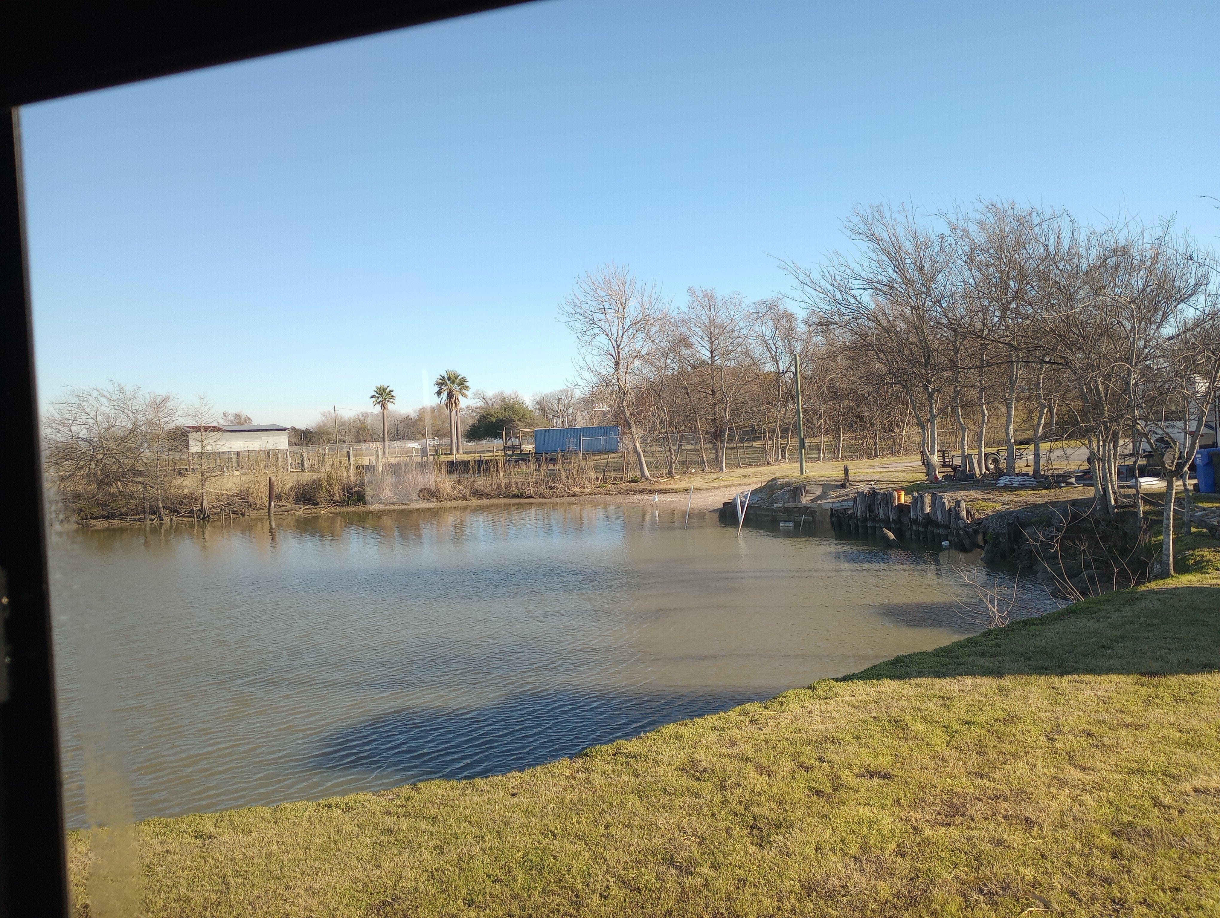
Anahuac, TX
Advertisement
Anahuac, TX Map
Anahuac is a US city in Chambers County in the state of Texas. Located at the longitude and latitude of -94.678889, 29.768333 and situated at an elevation of 9 meters. In the 2020 United States Census, Anahuac, TX had a population of 1,980 people. Anahuac is in the Central Standard Time timezone at Coordinated Universal Time (UTC) -6. Find directions to Anahuac, TX, browse local businesses, landmarks, get current traffic estimates, road conditions, and more.
Anahuac, located in the state of Texas, is often celebrated as the "Alligator Capital of Texas," a title that highlights its proximity to the rich wildlife and natural beauty of the surrounding areas. The city is known for its connection to the Trinity River, which provides ample opportunities for outdoor activities such as fishing, boating, and bird watching. The Anahuac National Wildlife Refuge is a major attraction, drawing nature enthusiasts and photographers keen to explore its diverse ecosystems and observe the myriad of bird species that migrate through the area. This refuge is a haven for alligator sightings, living up to the city's reputation, and offers well-maintained trails and observation platforms for visitors to enjoy nature up close.
Historically, Anahuac has roots dating back to the early 19th century and played a role in the Texas Revolution. The Anahuac Disturbances in the 1830s were among the early conflicts that contributed to the growing tensions between Texian settlers and the Mexican government, eventually leading to Texas gaining independence. Visitors interested in this historical aspect can explore local landmarks and sites that echo the city’s past. While Anahuac might seem like a small city, its blend of rich history and abundant natural attractions make it a unique destination for those interested in both Texas history and the great outdoors.
Nearby cities include: Cove, TX, Old River-Winfree, TX, Beach City, TX, Mont Belvieu, TX, Oak Island, TX, Baytown, TX, Stowell, TX, Winnie, TX, Devers, TX, Ames, TX.
Places in Anahuac
Dine and drink
Eat and drink your way through town.
Can't-miss activities
Culture, natural beauty, and plain old fun.
Places to stay
Hang your (vacation) hat in a place that’s just your style.
Advertisement


