Devers, TX
Advertisement
Devers, TX Map
Devers is a US city in Liberty County in the state of Texas. Located at the longitude and latitude of -94.591700, 30.026400 and situated at an elevation of 18 meters. In the 2020 United States Census, Devers, TX had a population of 361 people. Devers is in the Central Standard Time timezone at Coordinated Universal Time (UTC) -6. Find directions to Devers, TX, browse local businesses, landmarks, get current traffic estimates, road conditions, and more.
Devers, Texas, is a small city that offers a glimpse into the quiet and unhurried lifestyle typical of rural Texas. Known for its agricultural roots, the city provides a serene environment characterized by vast open fields and a tight-knit community atmosphere. While Devers may not boast the bustling attractions of larger cities, it is known for its historical significance and its role in the development of the region. The city's charm lies in its simplicity and the genuine hospitality of its residents.
A notable place within the city is the Devers ISD, which serves as a central hub for community activities and events, reflecting the city's emphasis on education and community involvement. The school district, with its small-town values, often hosts local gatherings that bring together residents and visitors alike. The surrounding landscape offers opportunities for outdoor enthusiasts to explore the natural beauty of the Texas countryside. Devers is a destination for those seeking a break from the fast-paced urban life, offering a peaceful retreat with a touch of Texan heritage.
Nearby cities include: Daisetta, TX, Hull, TX, Ames, TX, Nome, TX, Hardin, TX, Liberty, TX, Oak Island, TX, Sour Lake, TX, China, TX, Dayton Lakes, TX.
Places in Devers
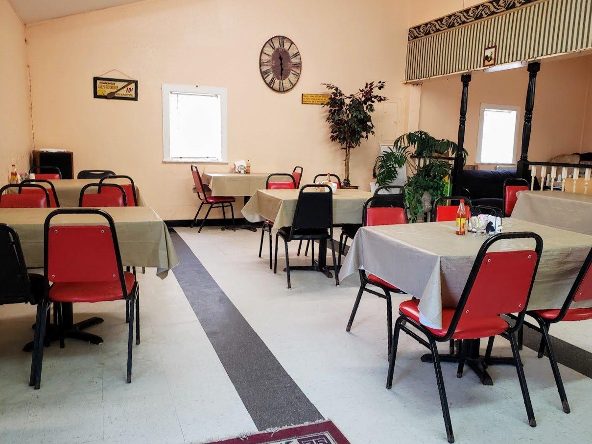
Dine and drink
Eat and drink your way through town.
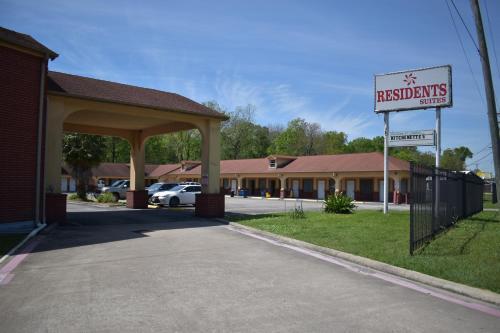
Places to stay
Hang your (vacation) hat in a place that’s just your style.
Advertisement


