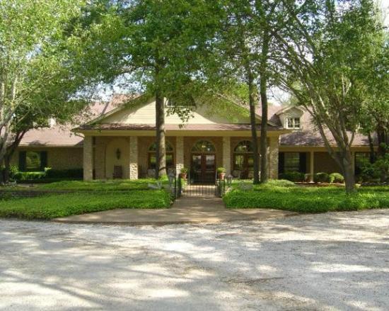
Teague, TX
Advertisement
Teague, TX Map
Teague is a US city in Freestone County in the state of Texas. Located at the longitude and latitude of -96.283300, 31.627500 and situated at an elevation of 151 meters. In the 2020 United States Census, Teague, TX had a population of 3,384 people. Teague is in the Central Standard Time timezone at Coordinated Universal Time (UTC) -6. Find directions to Teague, TX, browse local businesses, landmarks, get current traffic estimates, road conditions, and more.
Teague, Texas, is a small city with a rich historical tapestry that dates back to its establishment in the early 20th century as a railroad town. The city is named after Betty Teague, the wife of a prominent railroad official, and it quickly became a hub for commerce and transportation. Today, Teague is celebrated for its charming, small-town atmosphere and historical significance. The Teague Historical Museum offers visitors a glimpse into the city's past, showcasing artifacts and exhibits that reflect its railroad heritage and community evolution.
For those looking to explore the city further, the downtown area features quaint shops and local eateries that capture the essence of small-town Texas. The annual Fourth of July Rodeo is a must-see event, drawing visitors from across the region to experience traditional rodeo activities and vibrant community spirit. Teague City Park provides a serene setting for outdoor activities, with well-maintained facilities for picnics, sports, and relaxation. Overall, Teague offers a blend of historical intrigue and quintessential Texan charm, making it a unique destination for those interested in the state's rich cultural landscape.
Nearby cities include: Fairfield, TX, Kirvin, TX, Center, TX, Mexia, TX, Wortham, TX, Groesbeck, TX, Buffalo, TX, Streetman, TX, Jewett, TX, Richland, TX.
Places in Teague
Dine and drink
Eat and drink your way through town.
Can't-miss activities
Culture, natural beauty, and plain old fun.
Places to stay
Hang your (vacation) hat in a place that’s just your style.
Advertisement


