Mexia, TX
Advertisement
Mexia, TX Map
Mexia is a US city in Limestone County in the state of Texas. Located at the longitude and latitude of -96.481111, 31.681667 and situated at an elevation of 159 meters. In the 2020 United States Census, Mexia, TX had a population of 6,893 people. Mexia is in the Central Standard Time timezone at Coordinated Universal Time (UTC) -6. Find directions to Mexia, TX, browse local businesses, landmarks, get current traffic estimates, road conditions, and more.
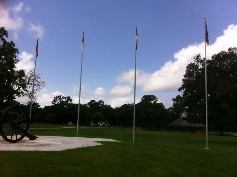
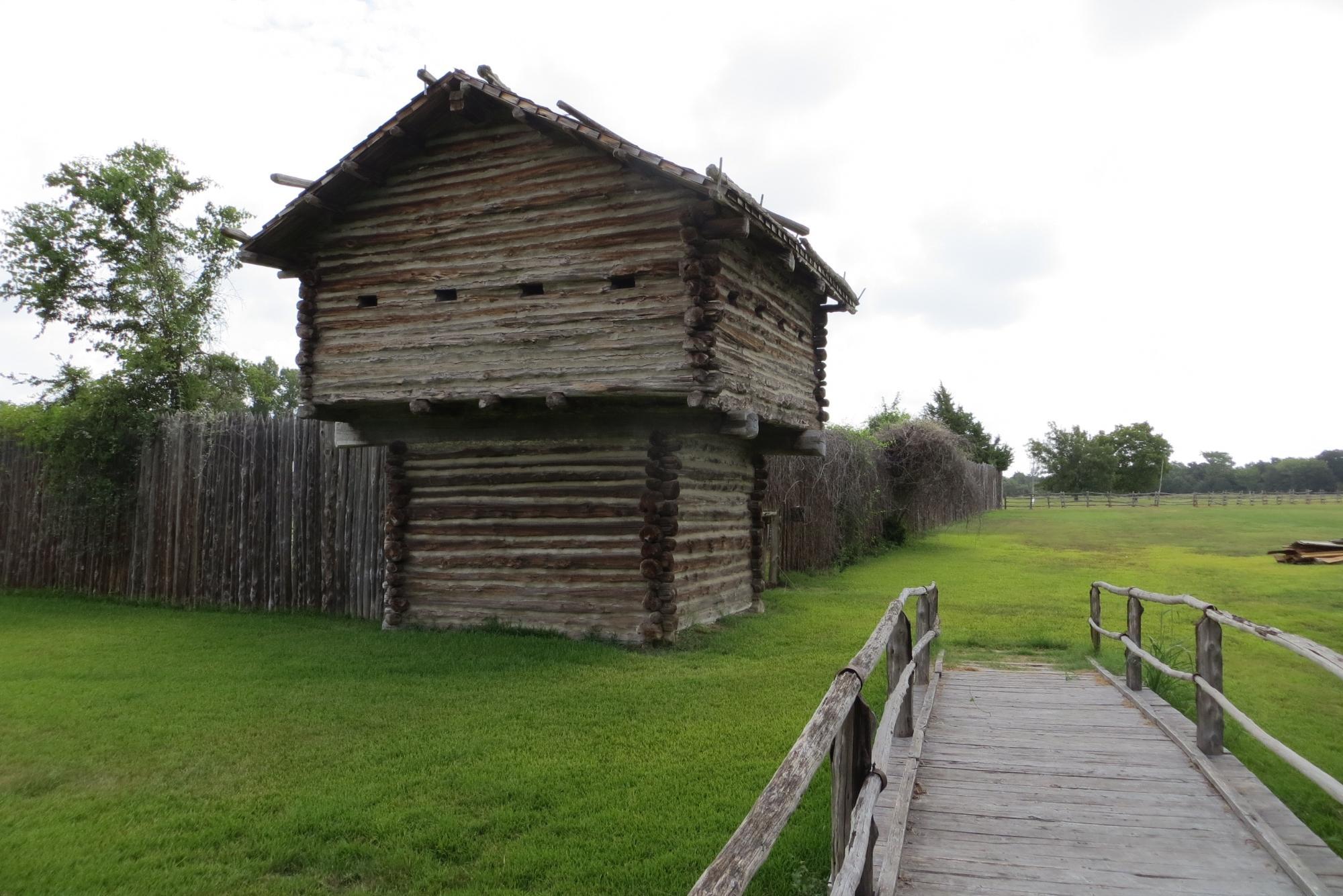
Mexia, located in the heart of Texas, is a city steeped in history and Southern charm. Known primarily for its ties to the oil boom of the early 20th century, Mexia played a significant role in the region's economic development. One of the city's most notable historical highlights is its connection to the legendary Fort Parker massacre, which took place nearby in 1836 and led to the capture of Cynthia Ann Parker, mother of famous Comanche leader Quanah Parker. The city honors this history with the Old Fort Parker Historic Site, which offers visitors a glimpse into the past through reconstructed fort buildings and informative exhibits.
Aside from its historical significance, Mexia is home to several popular attractions that draw visitors throughout the year. The Mexia Public Schools Museum offers a fascinating look into the area's educational history, while the Mexia City Park provides a picturesque setting for outdoor activities and family gatherings. Nature enthusiasts will appreciate the proximity to Lake Mexia, a local favorite for fishing, boating, and picnicking. Additionally, Mexia's vibrant community events, such as the annual Juneteenth celebration, reflect the city's rich cultural tapestry and offer a warm welcome to all who visit.
Nearby cities include: Wortham, TX, Kirvin, TX, Coolidge, TX, Groesbeck, TX, Teague, TX, Center, TX, Streetman, TX, Richland, TX, Fairfield, TX, Thornton, TX.
Places in Mexia
Dine and drink
Eat and drink your way through town.
Can't-miss activities
Culture, natural beauty, and plain old fun.
Places to stay
Hang your (vacation) hat in a place that’s just your style.
Advertisement


