Jewett, TX
Advertisement
Jewett, TX Map
Jewett is a US city in Leon County in the state of Texas. Located at the longitude and latitude of -96.144700, 31.362200 and situated at an elevation of 150 meters. In the 2020 United States Census, Jewett, TX had a population of 793 people. Jewett is in the Central Standard Time timezone at Coordinated Universal Time (UTC) -6. Find directions to Jewett, TX, browse local businesses, landmarks, get current traffic estimates, road conditions, and more.
Jewett, Texas, is a small city characterized by its rich history and welcoming community atmosphere. This city is often recognized for its deep roots in the railroad industry, which played a significant role in its development during the late 19th and early 20th centuries. Visitors to Jewett can explore its historical charm through various local landmarks and enjoy the serene environment that defines this part of Texas. One of the notable attractions in Jewett is the Jewett Flea Market, which draws visitors from across the region with its diverse offerings of antiques, crafts, and local goods.
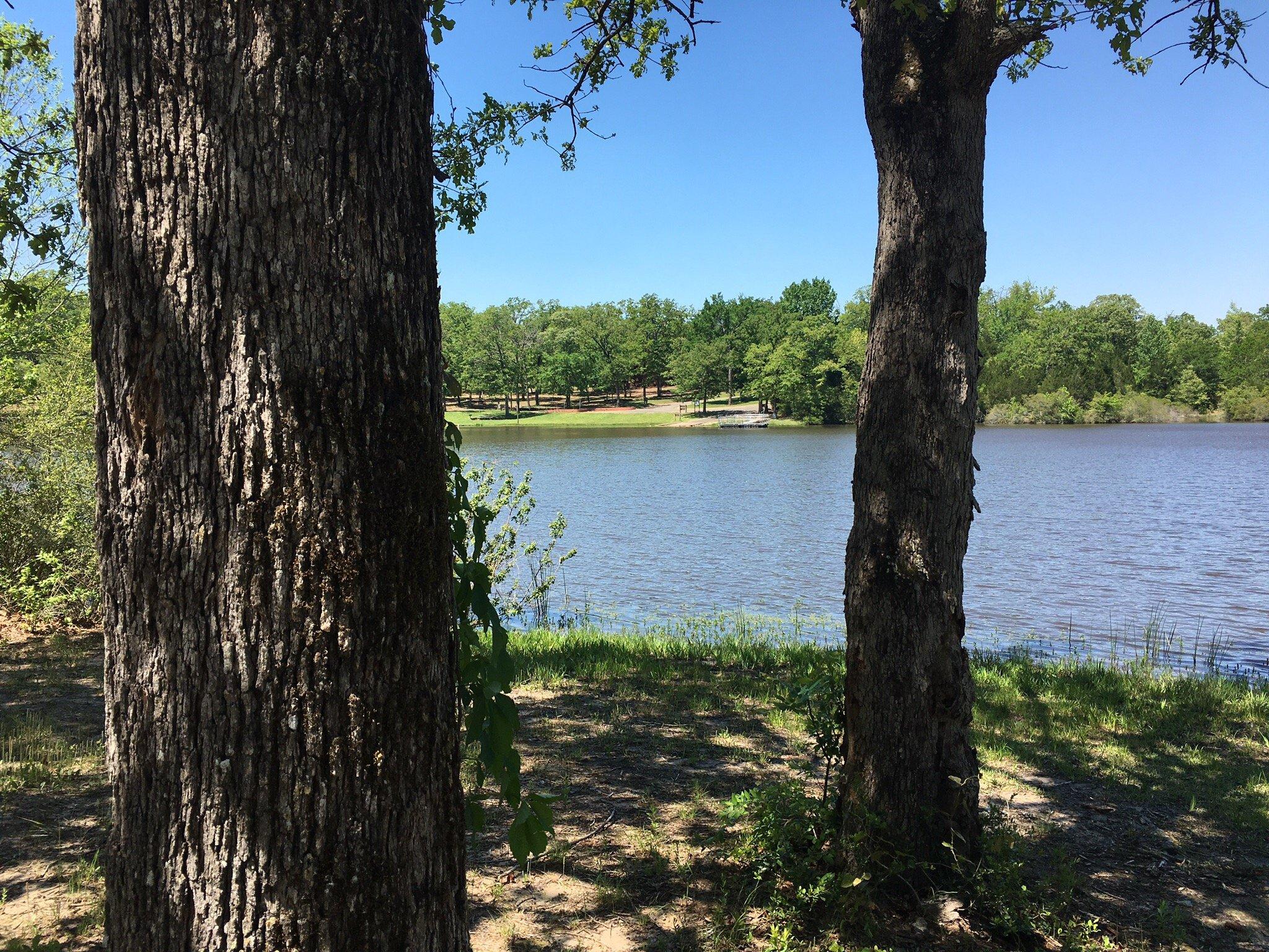
Jewett is also home to the Jewett Civic Center, which serves as a hub for community events and gatherings, reflecting the city’s strong sense of community. Additionally, outdoor enthusiasts can take advantage of the nearby recreational opportunities, including fishing and boating, thanks to the proximity of area lakes and parks. Overall, Jewett offers a glimpse into the quintessential small-town life in Texas, with its blend of historical significance and community-focused amenities. Whether you're passing through or planning a visit, Jewett provides a peaceful and engaging experience for those looking to explore the heart of Texas.
Nearby cities include: Buffalo, TX, Marquez, TX, Centerville, TX, Leona, TX, Center, TX, Teague, TX, Normangee, TX, Oakwood, TX, Fairfield, TX, Groesbeck, TX.
Places in Jewett
Dine and drink
Eat and drink your way through town.
Can't-miss activities
Culture, natural beauty, and plain old fun.
Places to stay
Hang your (vacation) hat in a place that’s just your style.
Advertisement


