Shelburne, VT
Advertisement
Shelburne Map
Shelburne is a town in southwestern Chittenden County, Vermont, United States, along the shores of Lake Champlain. The population was 7,144 at the 2010 census.
Shelburne was chartered by New Hampshire, August 18, 1763 to Jesse Hallock and sixty-four associates by Governor Benning Wentworth. The name "Shelburne" or "Shelburn" was chosen to honor William Petty, 2nd Earl of Shelburne, a celebrated nobleman of the British Parliament and Prime Minister. According to the charter, the town was to have an area of 23,500 acres (95.1 km2), or a tract a little over 6 square miles (15.5 km2), but owing to a blunder on the part of the surveyors, it was shorn of a large portion of its possessions.
The town of Shelburne comprises 22.3 square miles (57.8 km2). From the beginning, Shelburne's economy was based on farming. With the clearing of land and burning of logs the town experienced a potash boom. A carding and fulling mill, a gristmill, a sawmill, and a blacksmith shop were erected on the LaPlatte River at Shelburne Falls. In 1811, a few Merino sheep imported from Spain led to an upsurge in sheep raising. Orchards and fruit growing became a major source of income for the farmers, with some 17,740 trees in 1880. Following the War of 1812, commerce on the lake expanded rapidly.
Nearby cities include Richmond, Jericho, Vergennes, Keeseville, Westport.
Places in Shelburne
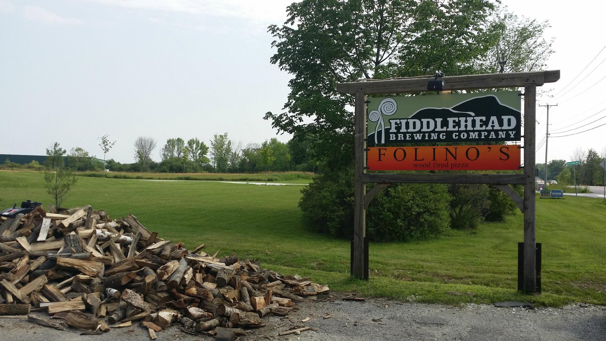
Dine and drink
Eat and drink your way through town.
Can't-miss activities
Culture, natural beauty, and plain old fun.
Places to stay
Hang your (vacation) hat in a place that’s just your style.
Advertisement


