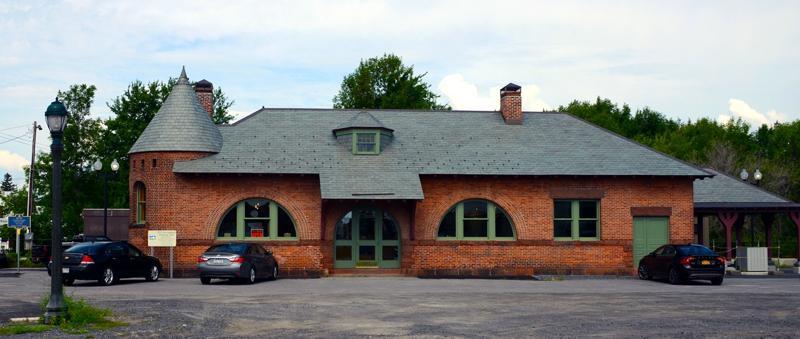
Alburgh, VT
Advertisement
Alburgh, VT Map
Alburgh is a US city in Grand Isle County in the state of Vermont. Located at the longitude and latitude of -73.300130, 44.975040 and situated at an elevation of 124 meters. In the 2020 United States Census, Alburgh, VT had a population of 2,106 people. Alburgh is in the Eastern Standard Time timezone at Coordinated Universal Time (UTC) -5. Find directions to Alburgh, VT, browse local businesses, landmarks, get current traffic estimates, road conditions, and more.
Alburgh, Vermont, is a quaint town uniquely situated on a peninsula that juts into Lake Champlain, offering a charming blend of natural beauty and small-town allure. Known for its stunning waterfront views and outdoor recreational activities, Alburgh is a haven for nature enthusiasts. Visitors often flock to the Alburgh Dunes State Park, which is famous for its sandy beaches and diverse ecosystem, providing opportunities for swimming, hiking, and bird watching. The town's location makes it a prime spot for fishing and boating on Lake Champlain, attracting both locals and tourists seeking a peaceful retreat.
Historically, Alburgh holds significance as one of the few places in the United States where you can enter from Canada by land, which has played a role in its development and cultural exchanges over the years. The town's heritage is also reflected in its architecture and local events, offering a glimpse into the region's past. A notable historical site is the Alburgh Springs, which has been a point of interest for its natural mineral waters. Whether you're exploring the scenic landscapes or delving into its historical roots, Alburgh presents a compelling blend of relaxation and discovery.
Nearby cities include: Rouses Point, NY, Champlain, NY, Swanton, VT, North Hero, VT, Chazy, NY, Mooers, NY, West Chazy, NY, Beekmantown, NY, Grand Isle, VT.
Places in Alburgh
Dine and drink
Eat and drink your way through town.
Can't-miss activities
Culture, natural beauty, and plain old fun.
Places to stay
Hang your (vacation) hat in a place that’s just your style.
Advertisement


