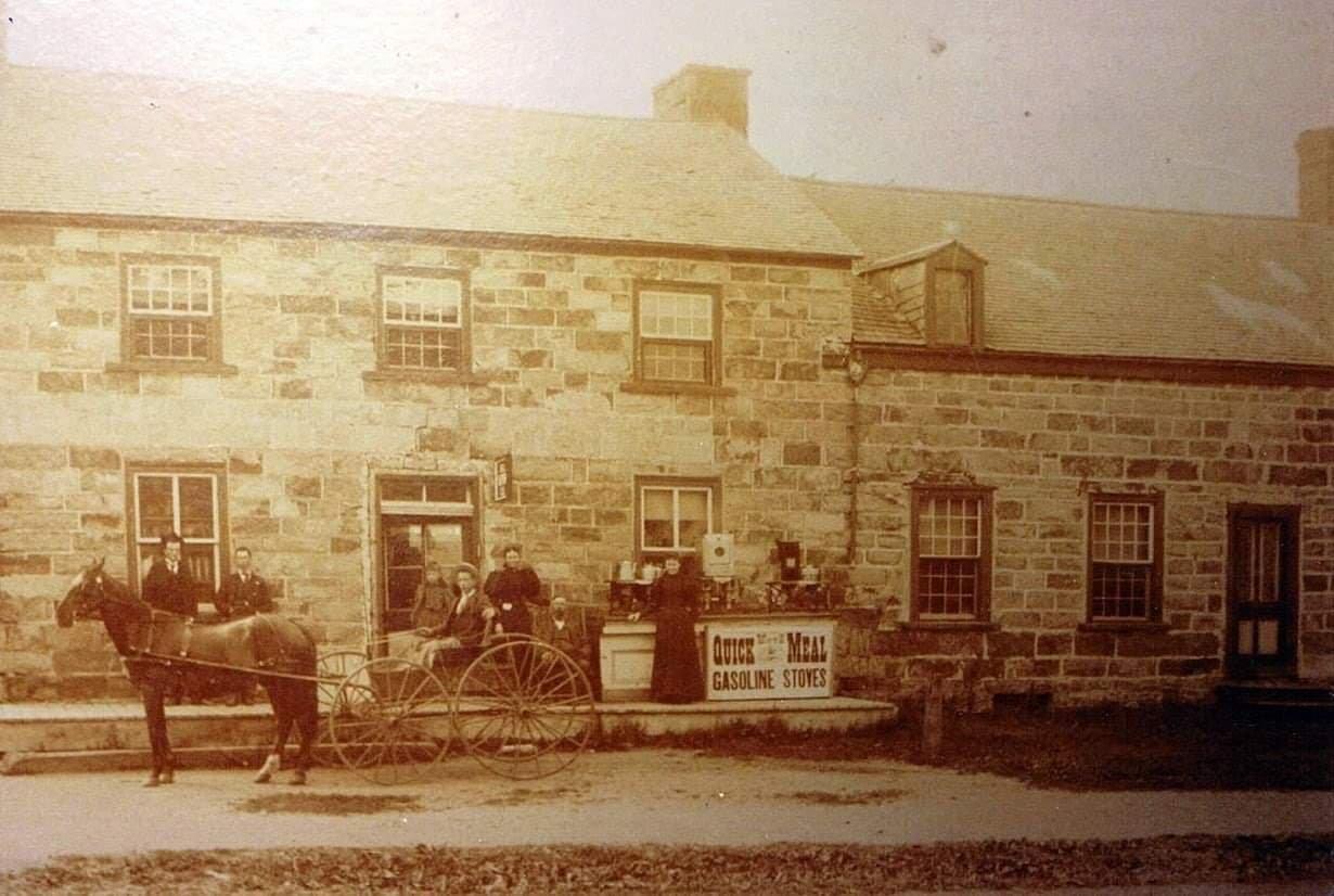
Mooers, NY
Advertisement
Mooers, NY Map
Mooers is a US city in Clinton County in the state of New York. Located at the longitude and latitude of -73.587360, 44.963370 and situated at an elevation of 280 meters. In the 2020 United States Census, Mooers, NY had a population of 3,467 people. Mooers is in the Eastern Standard Time timezone at Coordinated Universal Time (UTC) -5. Find directions to Mooers, NY, browse local businesses, landmarks, get current traffic estimates, road conditions, and more.
Mooers, located in the northern part of New York State, is a small town known for its scenic landscapes and tranquil rural charm. This town is particularly noted for its proximity to the Canadian border, which adds an international flair to its cultural tapestry. Visitors often explore the area's natural beauty, with many enjoying outdoor activities such as hiking and bird-watching in the surrounding countryside. Mooers' history is tied closely to its agricultural roots, and remnants of this heritage are visible in the local architecture and community events.
One of the popular places to visit in Mooers is the historical Mooers United Methodist Church, which stands as a testament to the town's longstanding community spirit and architectural history. The town also hosts several local farms, where visitors can experience farm life and purchase fresh, local produce. Events such as community fairs and seasonal festivals provide a glimpse into the town's close-knit community and traditional lifestyle. Mooers offers a peaceful retreat for those looking to explore a quintessentially rural American town with a rich historical backdrop.
Nearby cities include: Altona, NY, Champlain, NY, Chazy, NY, West Chazy, NY, Rouses Point, NY, Ellenburg, NY, Alburgh, VT, Beekmantown, NY, North Hero, VT, Morrisonville, NY.
Places in Mooers
Dine and drink
Eat and drink your way through town.
Places to stay
Hang your (vacation) hat in a place that’s just your style.
Advertisement


