Union Hall, VA
Advertisement
Union Hall, VA Map
Union Hall is a US city in Franklin County in the state of Virginia. Located at the longitude and latitude of -79.691900, 37.026400 and situated at an elevation of 279 meters. In the 2020 United States Census, Union Hall, VA had a population of 1,328 people. Union Hall is in the Eastern Standard Time timezone at Coordinated Universal Time (UTC) -5. Find directions to Union Hall, VA, browse local businesses, landmarks, get current traffic estimates, road conditions, and more.
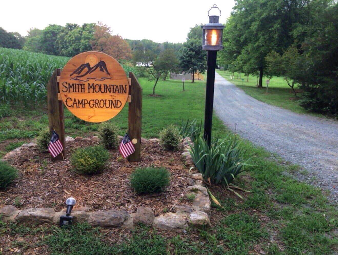
Union Hall, Virginia, is a charming and serene locale known primarily for its proximity to the picturesque Smith Mountain Lake. This scenic area is a haven for outdoor enthusiasts, offering a variety of water-based activities such as boating, fishing, and kayaking. The lake's expansive beauty and tranquil surroundings make it a popular destination for both residents and visitors seeking a peaceful retreat.
Aside from the natural allure of Smith Mountain Lake, Union Hall is also noted for its welcoming community and rural charm. The region’s history is rooted in its agricultural past, which continues to influence the local culture and lifestyle. Visitors can explore local farms and markets, which often feature fresh produce and artisanal goods. While Union Hall itself may not boast extensive urban attractions, its appeal lies in its idyllic setting and the sense of escape it offers from the hustle and bustle of city life.
Nearby cities include: Penhook, VA, Rocky Mount, VA, Moneta, VA, Boones Mill, VA, Gretna, VA, Ferrum, VA, Vinton, VA, Chatham, VA, Roanoke, VA, Hurt, VA.
Places in Union Hall
Dine and drink
Eat and drink your way through town.
Can't-miss activities
Culture, natural beauty, and plain old fun.
Places to stay
Hang your (vacation) hat in a place that’s just your style.
Advertisement


