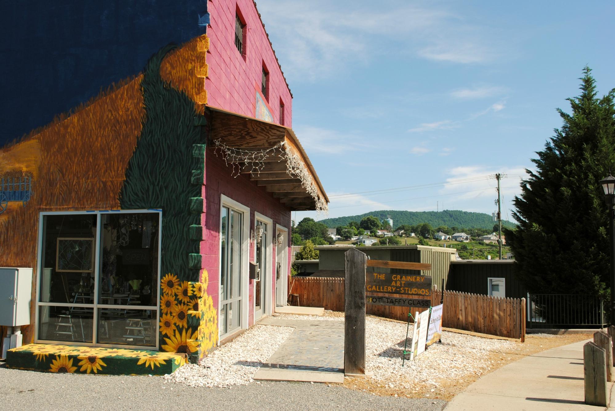
Ferrum, VA
Advertisement
Ferrum, VA Map
Ferrum is a US city in Franklin County in the state of Virginia. Located at the longitude and latitude of -80.011100, 36.926400 and situated at an elevation of 395 meters. In the 2020 United States Census, Ferrum, VA had a population of 1,827 people. Ferrum is in the Eastern Standard Time timezone at Coordinated Universal Time (UTC) -5. Find directions to Ferrum, VA, browse local businesses, landmarks, get current traffic estimates, road conditions, and more.
Ferrum, Virginia is most notably recognized for being home to Ferrum College, a small private college established in 1913. The college is a central feature of the town, offering a picturesque campus and a variety of cultural and athletic events that enrich the local community. Ferrum is steeped in Appalachian history and culture, which is celebrated annually through the Blue Ridge Folklife Festival, a popular event that showcases traditional crafts, music, and customs native to the region. This festival draws visitors from near and far, offering a genuine glimpse into the area's rich heritage.
In addition to its cultural offerings, Ferrum is surrounded by the natural beauty of the Blue Ridge Mountains, making it an attractive destination for outdoor enthusiasts. The nearby Philpott Lake provides ample opportunities for fishing, boating, and hiking, while the scenic trails offer stunning vistas of the rolling hills and valleys. Ferrum's blend of academic presence, cultural richness, and access to nature makes it a unique and inviting location for those seeking to explore the heart of Virginia's Appalachian region.
Nearby cities include: Rocky Mount, VA, Bassett, VA, Stanleytown, VA, Boones Mill, VA, Collinsville, VA, Fieldale, VA, Floyd, VA, Martinsville, VA, Union Hall, VA, Horsepasture, VA.
Places in Ferrum
Dine and drink
Eat and drink your way through town.
Can't-miss activities
Culture, natural beauty, and plain old fun.
Places to stay
Hang your (vacation) hat in a place that’s just your style.
Advertisement


