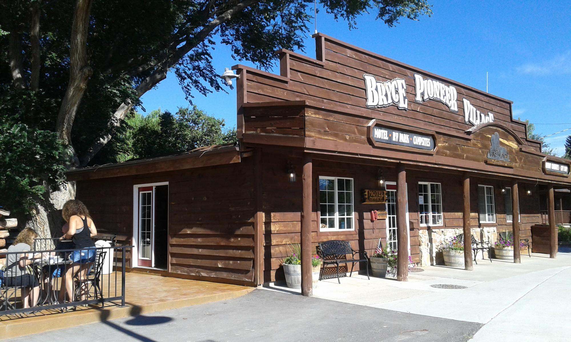
Tropic, UT
Advertisement
Tropic, UT Map
Tropic is a US city in Garfield County in the state of Utah. Located at the longitude and latitude of -112.088611, 37.623611 and situated at an elevation of 1,923 meters. In the 2020 United States Census, Tropic, UT had a population of 486 people. Tropic is in the Mountain Standard Time timezone at Coordinated Universal Time (UTC) -7. Find directions to Tropic, UT, browse local businesses, landmarks, get current traffic estimates, road conditions, and more.
Tucked away in the striking landscapes of southern Utah, Tropic is a small town known for its close proximity to the natural wonder of Bryce Canyon National Park. This quaint locale serves as a convenient gateway for adventurers and nature enthusiasts eager to explore the park's iconic hoodoos and breathtaking amphitheaters. Tropic provides a charming, rustic base for visitors with its selection of cozy accommodations, local eateries, and friendly atmosphere. The town is also a part of the scenic Bryce Canyon Country, offering access to stunning vistas and outdoor recreational activities such as hiking, horseback riding, and photography.
Founded in 1891, Tropic has a rich history tied to the pioneers who settled the area. The town's name is derived from the mild climate experienced in this region compared to other parts of Utah. Visitors can explore the Tropic Heritage Center to learn more about the town's origins and the stories of its early settlers. Additionally, Tropic is home to the picturesque Mossy Cave Trail, which features a waterfall and a small cave that is a favorite among hikers looking for a short, scenic trek. Overall, Tropic provides a welcoming and picturesque stop for those venturing into Utah's stunning landscapes.
Nearby cities include: Cannonville, UT, Bryce Canyon City, UT, Henrieville, UT, Hatch, UT, Panguitch, UT, Alton, UT, Escalante, UT, Antimony, UT, Glendale, UT, Orderville, UT.
Places in Tropic
Dine and drink
Eat and drink your way through town.
Places to stay
Hang your (vacation) hat in a place that’s just your style.
Advertisement


