Panguitch, UT
Advertisement
Panguitch, UT Map
Panguitch is a US city in Garfield County in the state of Utah. Located at the longitude and latitude of -112.434722, 37.822222 and situated at an elevation of 2,019 meters. In the 2020 United States Census, Panguitch, UT had a population of 1,725 people. Panguitch is in the Mountain Standard Time timezone at Coordinated Universal Time (UTC) -7. Find directions to Panguitch, UT, browse local businesses, landmarks, get current traffic estimates, road conditions, and more.
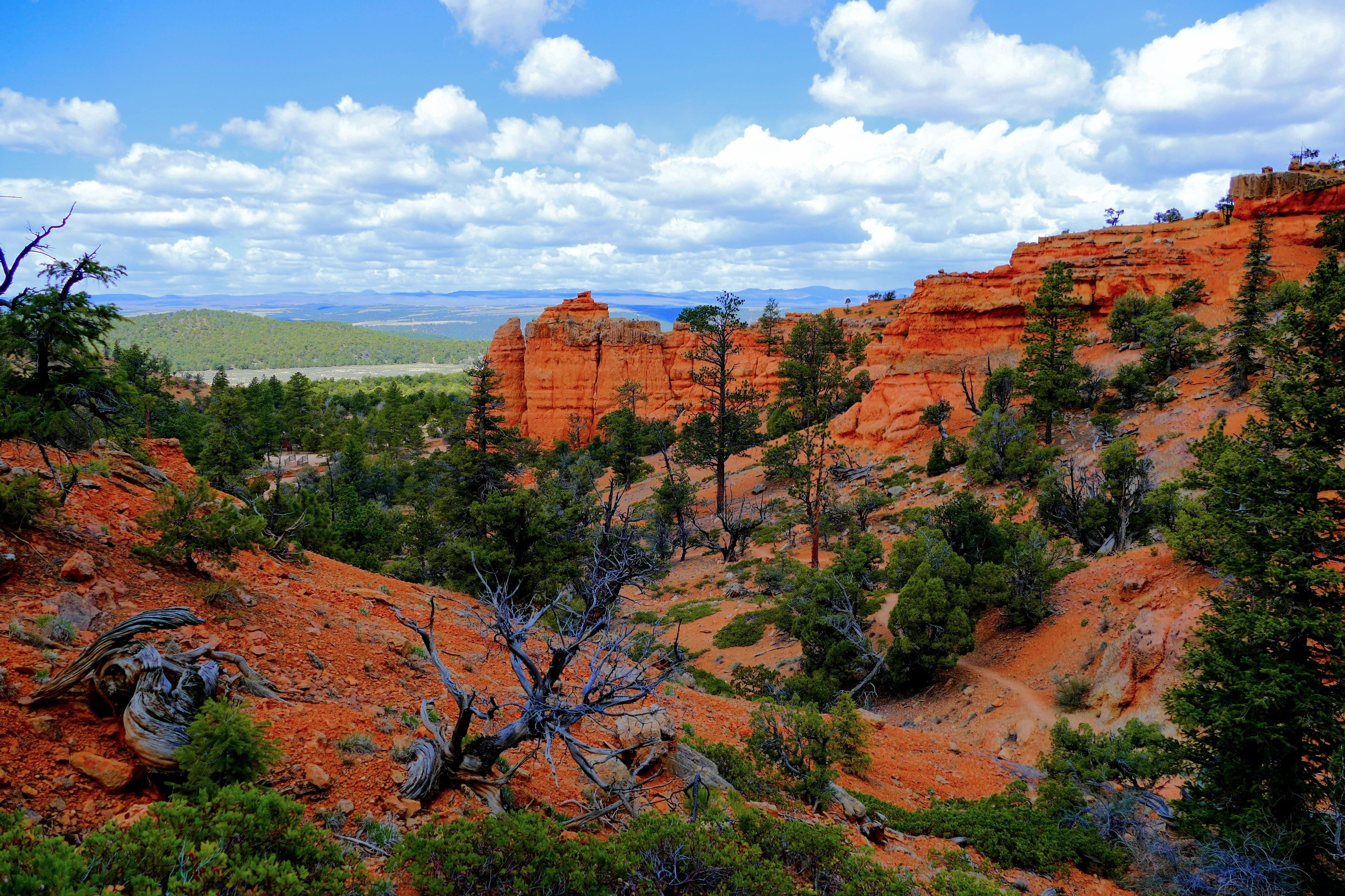
Panguitch, located in Utah, is a city renowned for its rich history and proximity to some of the most stunning natural landscapes in the United States. Known as a gateway to the majestic Bryce Canyon National Park, Panguitch is a popular stop for travelers seeking to explore the rugged beauty of southern Utah. The city's name, which means "big fish" in the Paiute language, hints at its roots in Native American culture. Visitors to Panguitch can enjoy a stroll down its historic Main Street, which features well-preserved brick buildings from the late 19th century, reflecting the town's heritage as a settlement established by Mormon pioneers.
A highlight of Panguitch's annual events is the Quilt Walk Festival, which commemorates a legendary trek by early settlers who used handmade quilts to navigate snow-covered terrain, a testament to the town's resilient spirit. For those interested in outdoor activities, Panguitch Lake is a popular destination for fishing and boating, offering serene views and a chance to unwind in nature. Another must-see is the Panguitch GEM Theater, a charming venue that hosts various performances and community events. Overall, Panguitch offers a blend of historical charm and access to breathtaking natural attractions, making it a noteworthy stop on any Utah itinerary.
Nearby cities include: Hatch, UT, Bryce Canyon City, UT, Paragonah, UT, Parowan, UT, Tropic, UT, Brian Head, UT, Circleville, UT, Alton, UT, Cannonville, UT, Summit, UT.
Places in Panguitch
Dine and drink
Eat and drink your way through town.
Can't-miss activities
Culture, natural beauty, and plain old fun.
Places to stay
Hang your (vacation) hat in a place that’s just your style.
Advertisement


