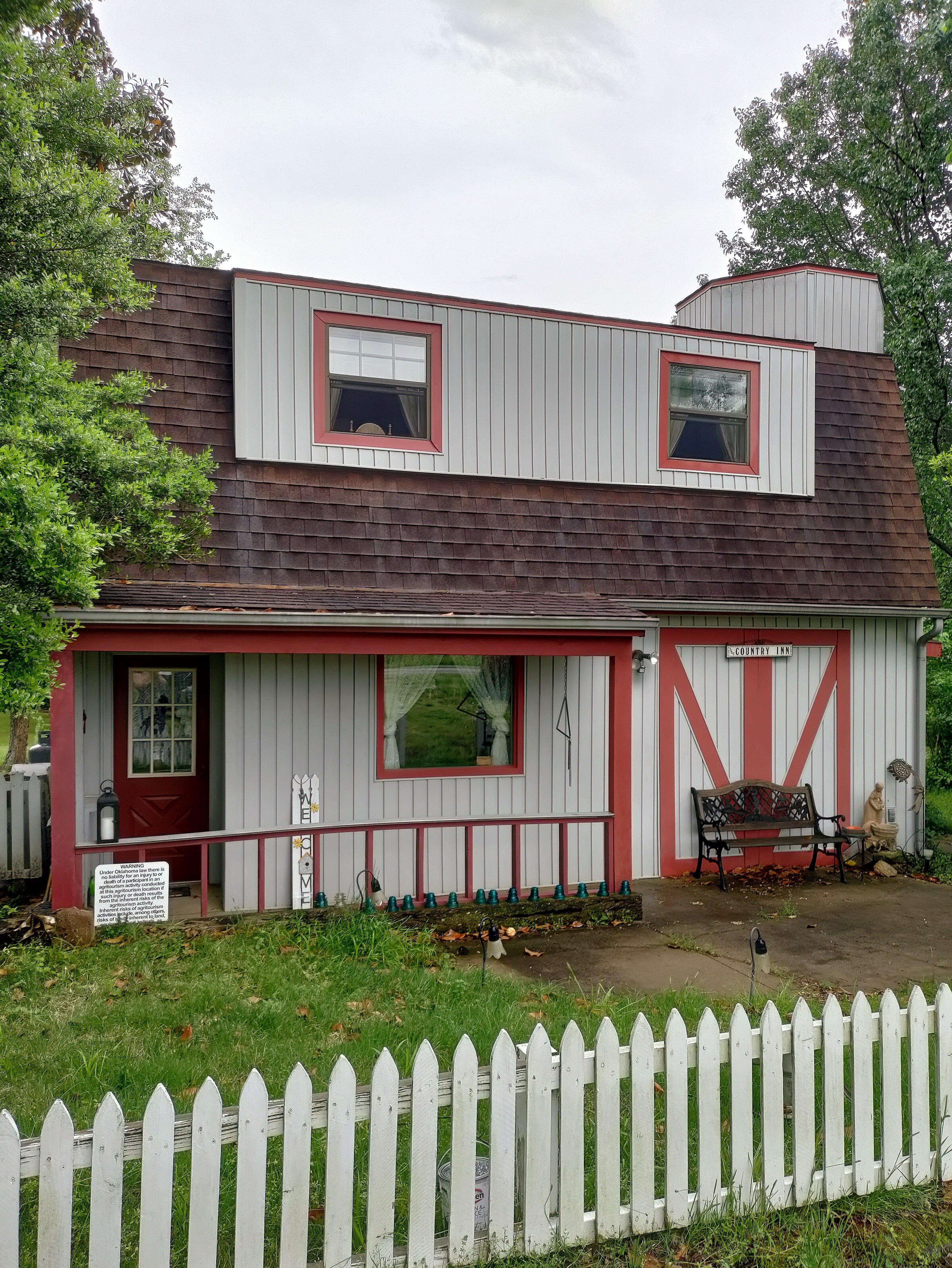
Talala, OK
Advertisement
Talala, OK Map
Talala is a US city in Rogers County in the state of Oklahoma. Located at the longitude and latitude of -95.699167, 36.529167 and situated at an elevation of 208 meters. In the 2020 United States Census, Talala, OK had a population of 258 people. Talala is in the Central Standard Time timezone at Coordinated Universal Time (UTC) -6. Find directions to Talala, OK, browse local businesses, landmarks, get current traffic estimates, road conditions, and more.
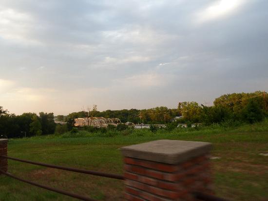
Talala, Oklahoma, is a small town known for its quaint charm and rural beauty. The town is perhaps best known for its connection to the iconic cowboy and entertainer Will Rogers, as it is located in the region where he spent much of his early life. Visitors to Talala can enjoy a slice of Americana with its picturesque landscapes and friendly community atmosphere. The area is ideal for those who appreciate the serenity of the countryside and the rich history of the American West.
While Talala may not boast a bustling cityscape, it offers a peaceful retreat with a few local attractions that highlight its unique character. The town is a gateway to outdoor exploration, with nearby lakes and parks providing opportunities for fishing, hiking, and picnicking. The local events and seasonal festivals also offer a glimpse into the tight-knit community spirit that defines Talala. For history enthusiasts, the nearby Will Rogers Memorial Museum provides deeper insights into the life and legacy of one of America's most beloved figures.
Nearby cities include: Jamestown, OK, Oologah, OK, Vera, OK, Foyil, OK, Nowata, OK, Ramona, OK, Collinsville, OK, Chelsea, OK, Claremore, OK, Ochelata, OK.
Places in Talala
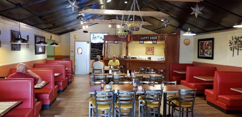
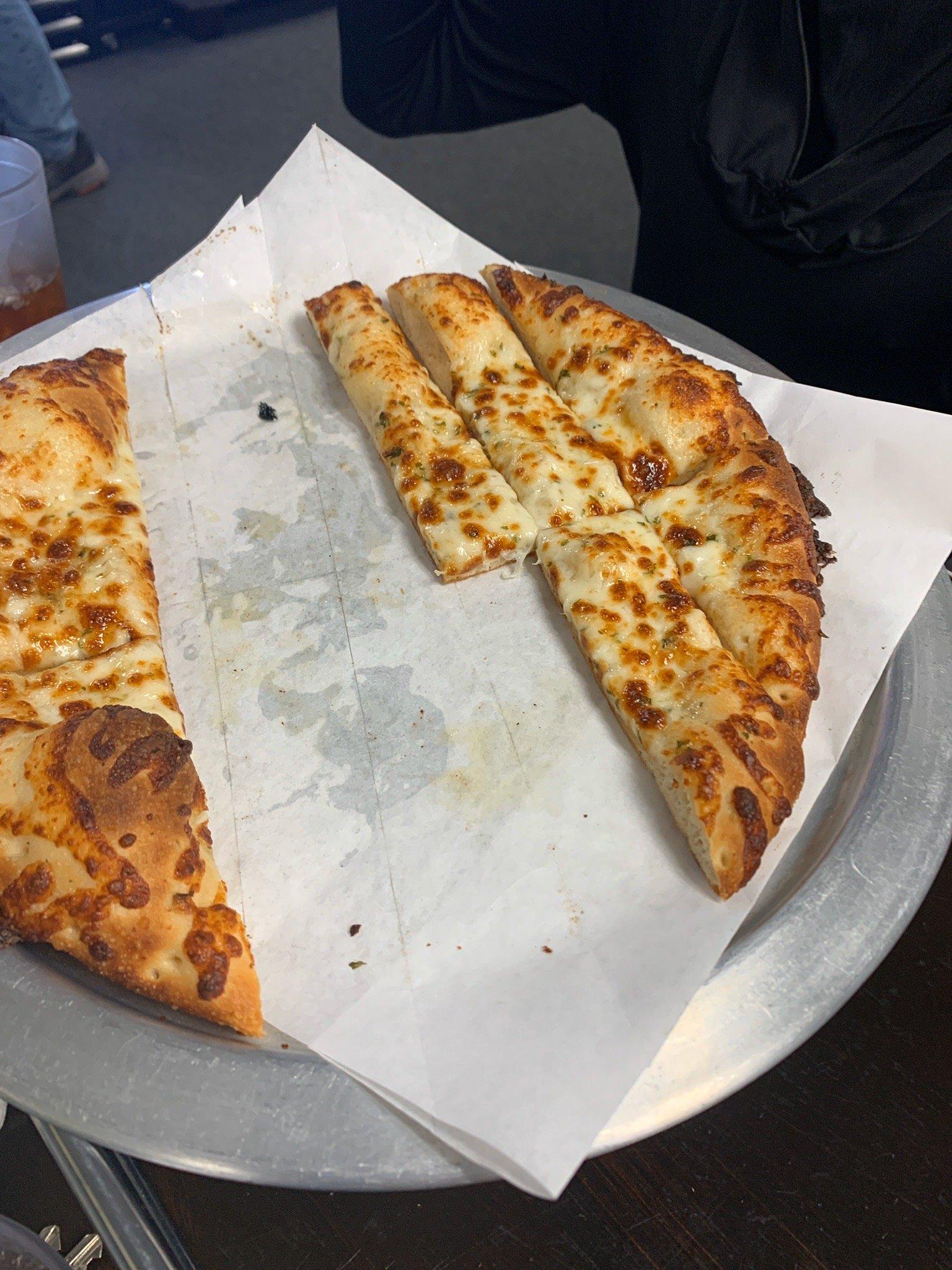
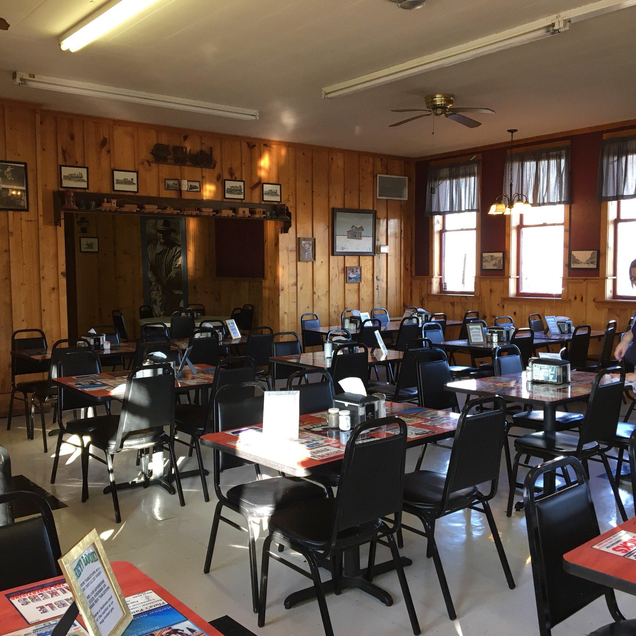
Dine and drink
Eat and drink your way through town.
Can't-miss activities
Culture, natural beauty, and plain old fun.
Places to stay
Hang your (vacation) hat in a place that’s just your style.
Advertisement


