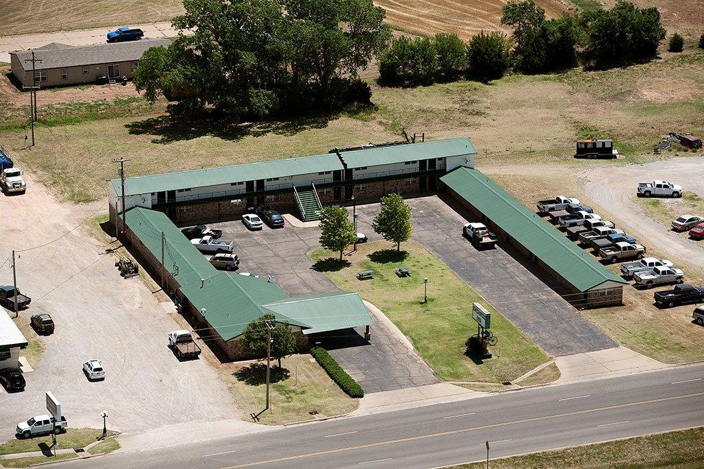
Jet, OK
Advertisement
Jet, OK Map
Jet is a US city in Alfalfa County in the state of Oklahoma. Located at the longitude and latitude of -98.181111, 36.666667 and situated at an elevation of 379 meters. In the 2020 United States Census, Jet, OK had a population of 197 people. Jet is in the Central Standard Time timezone at Coordinated Universal Time (UTC) -6. Find directions to Jet, OK, browse local businesses, landmarks, get current traffic estimates, road conditions, and more.
Jet, located in the state of Oklahoma, is a small town that quietly captures the essence of rural America. Known primarily for its proximity to the Great Salt Plains State Park, Jet attracts visitors who are eager to explore the unique landscapes and partake in activities like crystal digging, bird watching, and camping. The salt flats are a geological wonder, offering a glimpse into the ancient seabed that once covered the region. This natural attraction draws both geologists and casual tourists alike, intrigued by the selenite crystals that can be found just beneath the surface.
Historically, Jet has roots in agriculture, and its community life often revolves around farming and local events that celebrate this heritage. Although the town is small, its charm lies in its simplicity and the warmth of its residents. Visitors often enjoy the local diners and small businesses that offer a taste of genuine Oklahoma hospitality. The annual Crystal Festival is a highlight, where locals and tourists gather to celebrate the unique geological features of the area with various activities and events. Jet may not be bustling with urban attractions, but its natural beauty and friendly atmosphere provide a serene escape for those looking to experience the quieter side of Oklahoma.
Nearby cities include: Nescatunga, OK, Nash, OK, Goltry, OK, Helena, OK, Cherokee, OK, Hillsdale, OK, Lambert, OK, Carrier, OK, Carmen, OK, Byron, OK.
Places in Jet
Dine and drink
Eat and drink your way through town.
Can't-miss activities
Culture, natural beauty, and plain old fun.
Places to stay
Hang your (vacation) hat in a place that’s just your style.
Advertisement


