


Hollansburg, OH
Advertisement
Hollansburg, OH Map
Hollansburg is a US city in Darke County in the state of Ohio. Located at the longitude and latitude of -84.792200, 39.998600 and situated at an elevation of 354 meters. In the 2020 United States Census, Hollansburg, OH had a population of 243 people. Hollansburg is in the Eastern Standard Time timezone at Coordinated Universal Time (UTC) -5. Find directions to Hollansburg, OH, browse local businesses, landmarks, get current traffic estimates, road conditions, and more.
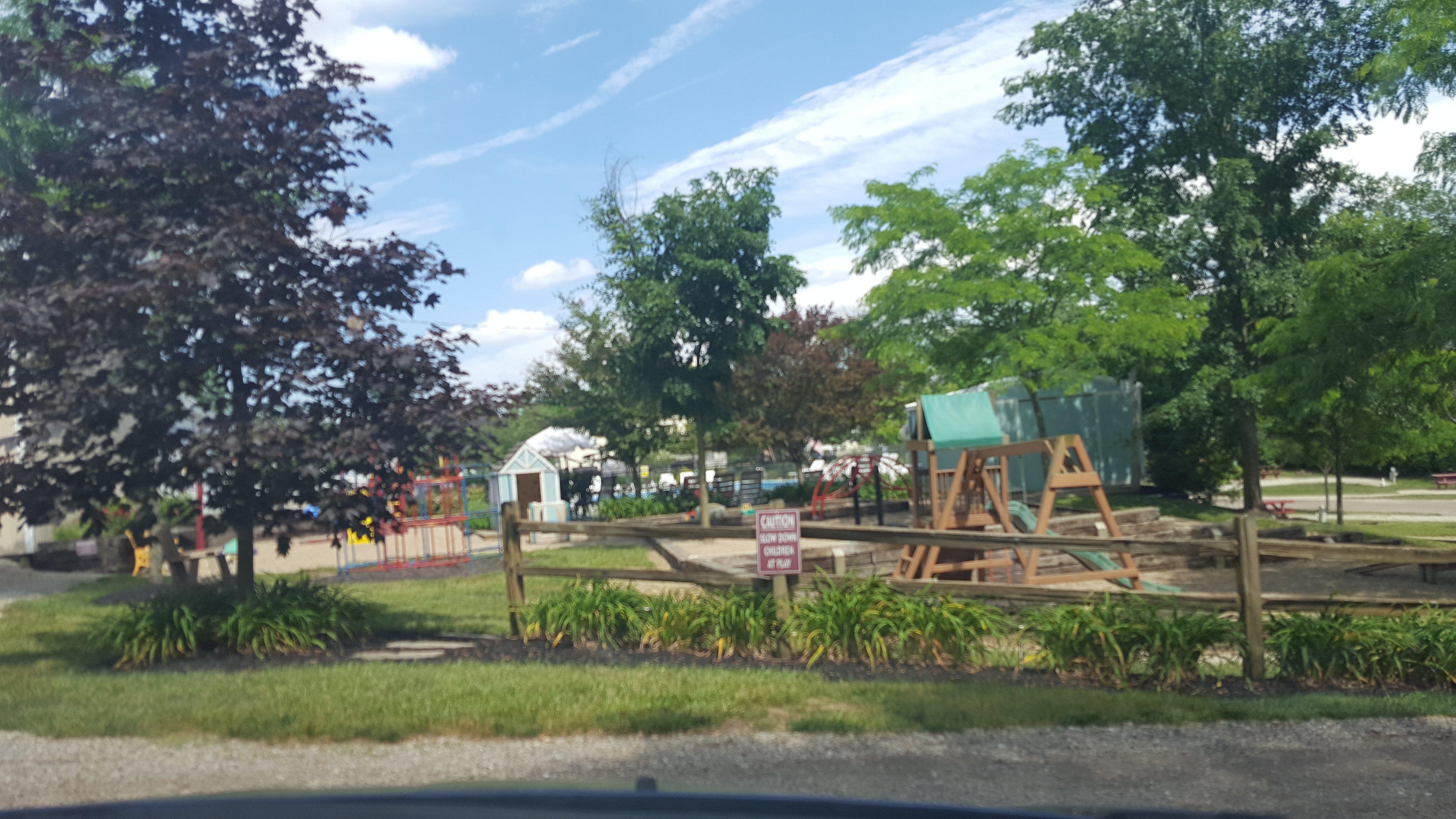
Hollansburg, Ohio, is a small village that offers a glimpse into the tranquil life of rural America. Known for its strong sense of community and quiet charm, Hollansburg is an ideal spot for those looking to experience the simplicity and warmth of small-town living. The village is home to the Hollansburg Community Park, a local favorite for picnics and leisurely strolls, providing a serene environment for relaxation and community gatherings. The town's history is subtly woven into its fabric, with its roots tracing back to the early 19th century. Visitors can enjoy the historical ambiance as they explore the town's quaint streets and modest architecture.
Although not bustling with tourist attractions, Hollansburg's appeal lies in its authenticity and the hospitality of its residents. The village occasionally hosts local events and festivals that showcase the area's cultural heritage and bring together the tight-knit community. For those interested in history, the town's past can be explored through conversations with long-time residents and visits to nearby historical sites, which offer insight into the region's development over the years. Hollansburg provides a peaceful retreat for travelers seeking an off-the-beaten-path experience in the heart of Ohio.
Nearby cities include: Harrison, OH, Whitewater, IN, Liberty, OH, Palestine, OH, New Madison, OH, Greensfork, IN, Neave, OH, Fountain City, IN, Butler, OH, Lynn, IN.
Places in Hollansburg
Dine and drink
Eat and drink your way through town.


Can't-miss activities
Culture, natural beauty, and plain old fun.
Places to stay
Hang your (vacation) hat in a place that’s just your style.
Advertisement