Palestine, OH
Advertisement
East Palestine, OH Map
East Palestine is a US city in Darke County in the state of Ohio. Located at the longitude and latitude of -80.541900, 40.835300 and situated at an elevation of 305 meters. In the 2020 United States Census, East Palestine, OH had a population of 4,761 people. East Palestine is in the Eastern Standard Time timezone at Coordinated Universal Time (UTC) -5. Find directions to East Palestine, OH, browse local businesses, landmarks, get current traffic estimates, road conditions, and more.
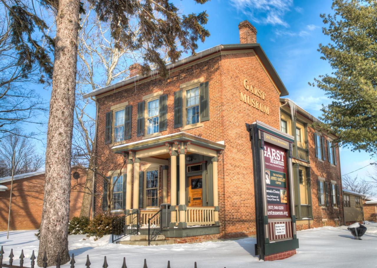
East Palestine, located in the state of Ohio, is a small city known for its tight-knit community and rich historical background. Established in the early 19th century, the city has a quaint charm that reflects its historical roots. Visitors to East Palestine can explore the local history through various sites and community events that celebrate its heritage. The East Palestine Memorial Public Library is a notable landmark, offering insights into the city's past and serving as a hub for local activities. The city is also known for its scenic parks and outdoor spaces, ideal for families and nature enthusiasts looking to enjoy a peaceful day out.
In addition to its historical aspects, East Palestine is recognized for its vibrant local culture and community spirit. The city hosts several annual events and festivals that bring together residents and visitors alike, showcasing local crafts, food, and entertainment. East Palestine's downtown area, although modest in size, features charming local shops and dining establishments that offer a taste of the community's hospitality. Overall, East Palestine provides a glimpse into small-town America, with a focus on preserving its history while fostering a warm and welcoming atmosphere.
Nearby cities include: Negley, OH, New Waterford, OH, Middleton, OH, Enon Valley, PA, Little Beaver, PA, Rogers, OH, Darlington, PA, New Springfield, OH, New Galilee, PA, Fairfield, OH.
Places in Palestine
Dine and drink
Eat and drink your way through town.
Can't-miss activities
Culture, natural beauty, and plain old fun.
Places to stay
Hang your (vacation) hat in a place that’s just your style.
Advertisement


