


Carrizozo, NM
Advertisement
Carrizozo, NM Map
Carrizozo is a US city in Lincoln County in the state of New Mexico. Located at the longitude and latitude of -105.877500, 33.643889 and situated at an elevation of 1,657 meters. In the 2020 United States Census, Carrizozo, NM had a population of 972 people. Carrizozo is in the Mountain Standard Time timezone at Coordinated Universal Time (UTC) -7. Find directions to Carrizozo, NM, browse local businesses, landmarks, get current traffic estimates, road conditions, and more.
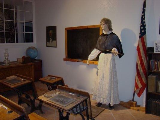
Carrizozo, located in New Mexico, is a small town known for its rich history and unique attractions that capture the spirit of the American Southwest. Established in the late 19th century as a railroad town, Carrizozo quickly became a hub for commerce and trade. Today, it retains its historic charm with well-preserved buildings and offers a glimpse into its past through the Carrizozo Heritage Museum, which showcases artifacts and exhibits detailing the town's development and the region's cultural history.
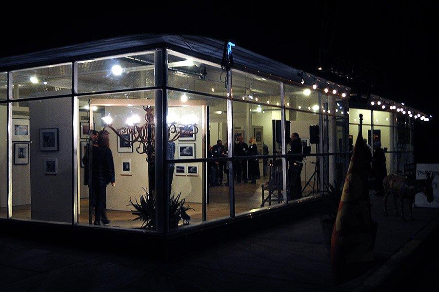
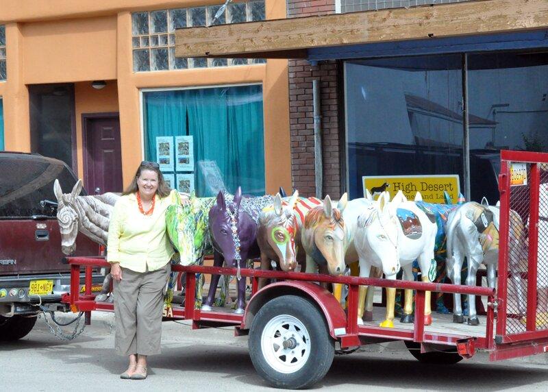
Visitors to Carrizozo can explore the town’s vibrant art scene, notably at the Tularosa Basin Gallery of Photography, which is one of the largest photography galleries in the state. The nearby Valley of Fires Recreation Area offers an opportunity to explore the stark and beautiful landscape of ancient lava flows, providing a dramatic natural backdrop just outside of town. Additionally, the town's annual events, such as the Carrizozo Festival, highlight its community spirit and provide a taste of local culture and hospitality. Carrizozo's blend of history, art, and natural beauty make it a distinctive destination in New Mexico.
Nearby cities include: Capitan, NM, Ruidoso, NM, Ruidoso Downs, NM, Mescalero, NM, Bent, NM, Tularosa, NM, Corona, NM, La Luz, NM, Cloudcroft, NM, Twin Forks, NM.
Places in Carrizozo
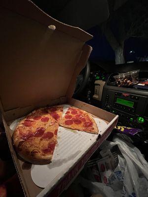
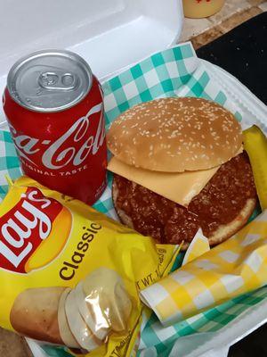
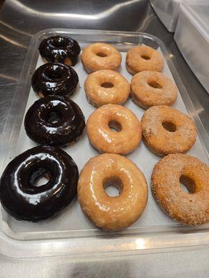
Dine and drink
Eat and drink your way through town.
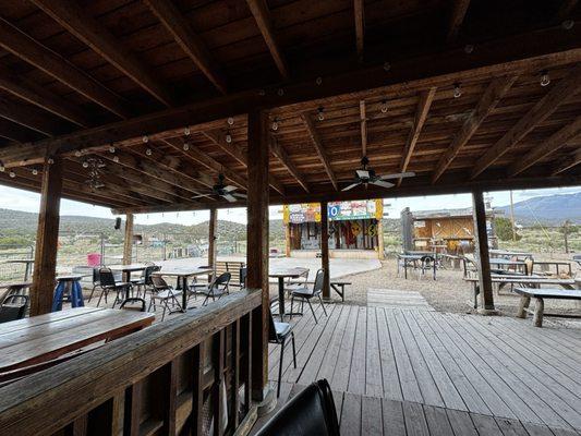
Can't-miss activities
Culture, natural beauty, and plain old fun.
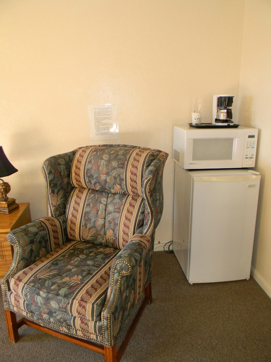
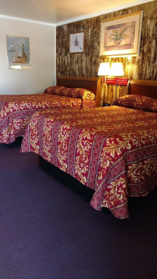
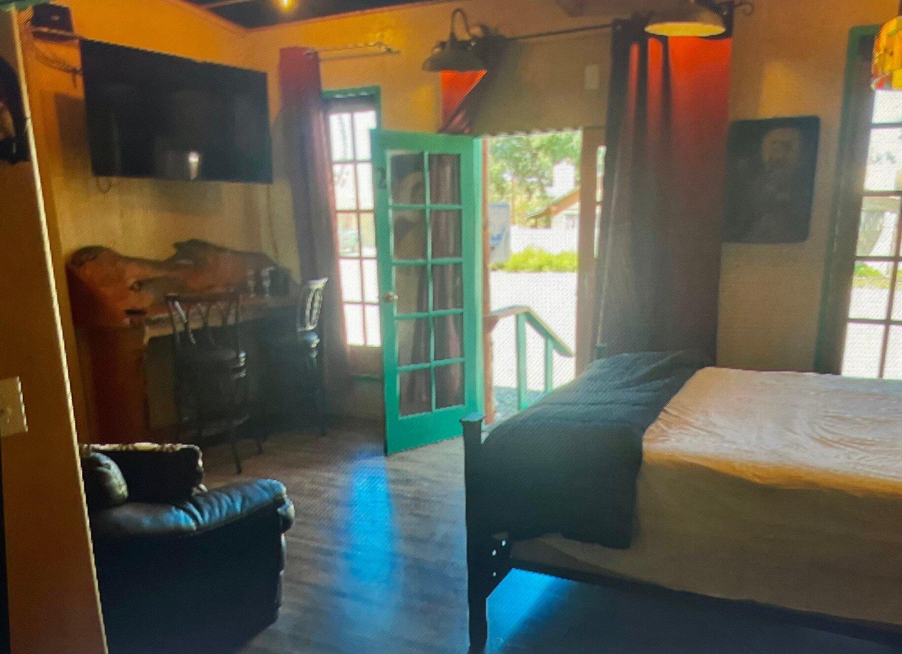
Places to stay
Hang your (vacation) hat in a place that’s just your style.

Advertisement