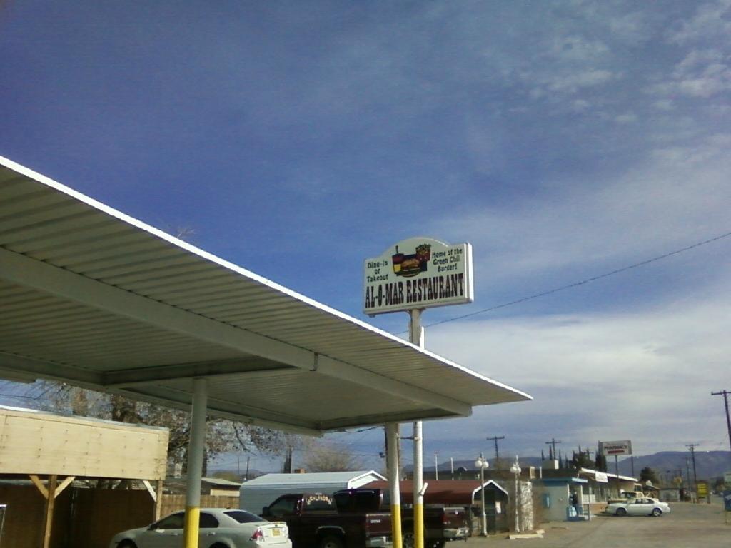
Bent, NM
Advertisement
Bent, NM Map
Bent is a US city in Otero County in the state of New Mexico. Located at the longitude and latitude of -105.872000, 33.142500 and situated at an elevation of 5,823 meters. In the 2020 United States Census, Bent, NM had a population of 150 people. Bent is in the Mountain Standard Time timezone at Coordinated Universal Time (UTC) -7. Find directions to Bent, NM, browse local businesses, landmarks, get current traffic estimates, road conditions, and more.
Bent, located in the state of New Mexico, is a quaint and unincorporated community known for its rustic charm and serene landscapes. This small town offers a glimpse into the rich tapestry of Southwestern culture and history. Bent is nestled in the heart of a region steeped in Native American and Spanish heritage, offering visitors a unique blend of cultural influences. The area is particularly known for its proximity to the Lincoln National Forest, which provides ample opportunities for hiking, camping, and exploring the natural beauty of the American Southwest.
While Bent itself is a quiet locale, it serves as a gateway to several notable attractions. Visitors often explore the nearby Mescalero Apache Tribe's cultural sites or take a short drive to the historic town of Lincoln, famous for its connection to Billy the Kid and the Lincoln County War. The town's history is palpably felt through its preserved architecture and local museums. Whether you're a history buff or an outdoor enthusiast, Bent offers a peaceful retreat with access to some of New Mexico's most storied landscapes and historical narratives.
Nearby cities include: Mescalero, NM, Tularosa, NM, La Luz, NM, Cloudcroft, NM, Alamogordo, NM, Ruidoso, NM, Twin Forks, NM, Ruidoso Downs, NM, Mayhill, NM, Sacramento, NM.
Places in Bent
Dine and drink
Eat and drink your way through town.
Can't-miss activities
Culture, natural beauty, and plain old fun.
Places to stay
Hang your (vacation) hat in a place that’s just your style.
Advertisement


