


Holly, MI
Advertisement
Holly, MI Map
Holly is a US city in Oakland County in the state of Michigan. Located at the longitude and latitude of -83.627778, 42.791944 and situated at an elevation of 283 meters. In the 2020 United States Census, Holly, MI had a population of 5,997 people. Holly is in the Eastern Standard Time timezone at Coordinated Universal Time (UTC) -5. Find directions to Holly, MI, browse local businesses, landmarks, get current traffic estimates, road conditions, and more.
Holly, Michigan, is a quaint town steeped in a rich tapestry of history and charm, often drawing visitors with its small-town allure and historical significance. Known predominantly for its vibrant downtown, Holly boasts a delightful array of antique shops, cozy cafes, and unique boutiques that invite leisurely exploration. The town's historical roots are prominently showcased in its architecture and the annual Holly Dickens Festival, a cherished event that celebrates the spirit of Charles Dickens with Victorian-themed festivities. This festival is the oldest continuously running Dickens-themed event in the United States, offering a glimpse into the past with its carolers, street vendors, and costumed performers.
A visit to Holly is incomplete without a stop at the Holly Hotel, a nationally registered historic site that serves as a beacon of the town's storied past. Although it no longer functions as a hotel, it operates as a restaurant and event venue, known for its traditional afternoon teas and gourmet dinners. Another notable attraction is the Seven Lakes State Park, located just a short drive away, offering a picturesque setting for outdoor activities like hiking, fishing, and picnicking. Holly's unique blend of history, culture, and natural beauty makes it a captivating destination for those seeking a slice of Americana and a step back in time.
Nearby cities include: Holly, MI, Fenton, MI, Groveland, MI, Springfield, MI, Linden, MI, Grand Blanc, MI, Grand Blanc, MI, Ortonville, MI, Mundy, MI, Goodrich, MI.
Places in Holly
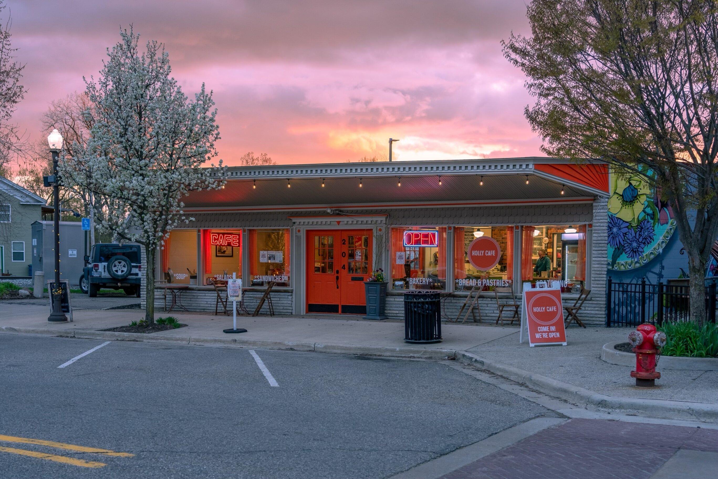
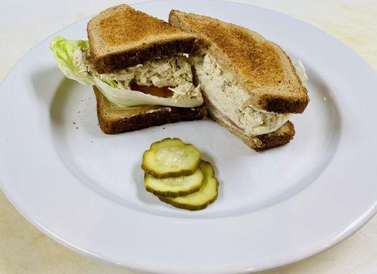
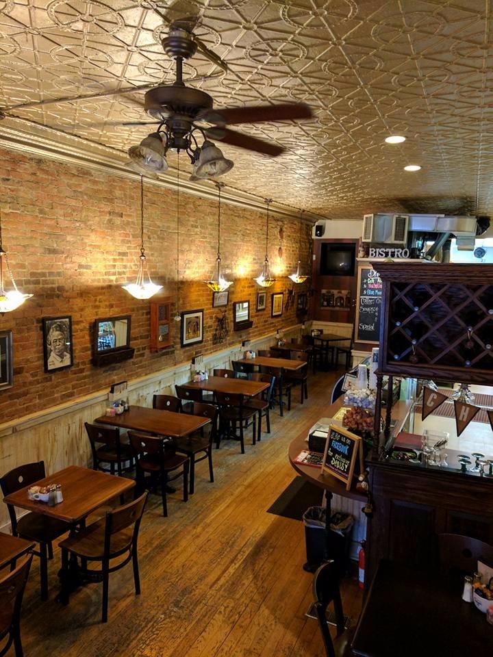
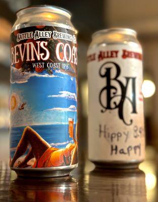
Dine and drink
Eat and drink your way through town.

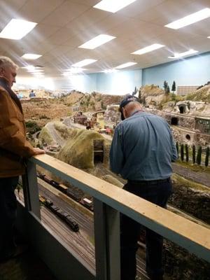
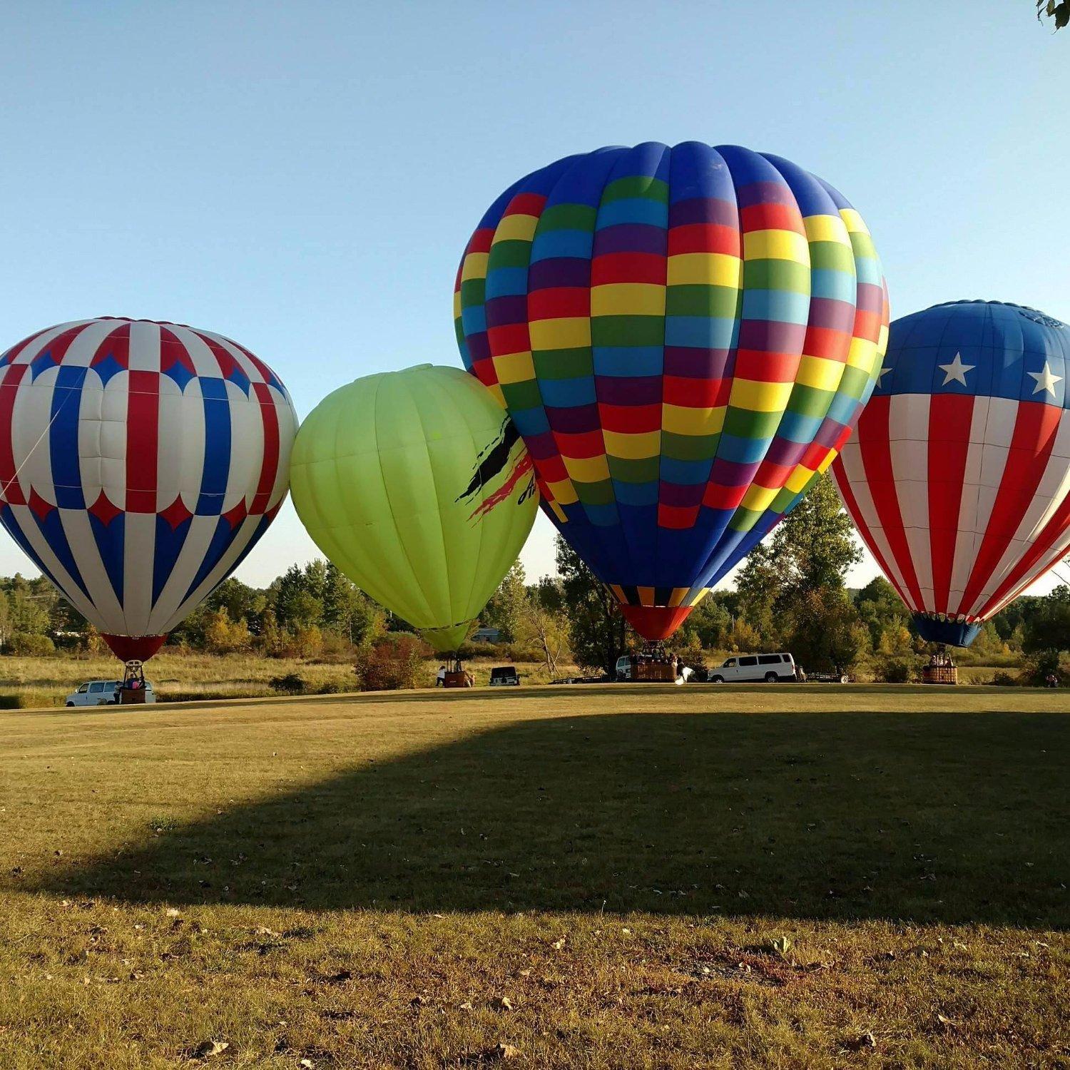
Can't-miss activities
Culture, natural beauty, and plain old fun.

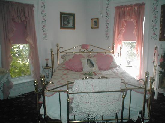
Places to stay
Hang your (vacation) hat in a place that’s just your style.
Advertisement