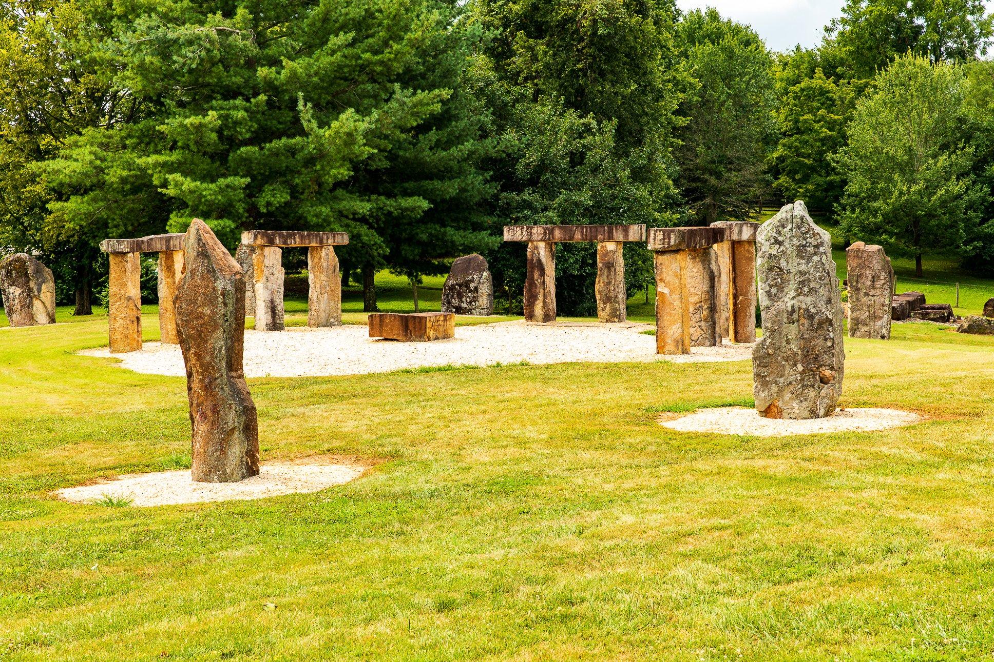
Munfordville, KY
Advertisement
Munfordville, KY Map
Munfordville is a US city in Hart County in the state of Kentucky. Located at the longitude and latitude of -85.897800, 37.276700 and situated at an elevation of 187 meters. In the 2020 United States Census, Munfordville, KY had a population of 1,686 people. Munfordville is in the Central Standard Time timezone at Coordinated Universal Time (UTC) -6. Find directions to Munfordville, KY, browse local businesses, landmarks, get current traffic estimates, road conditions, and more.
Munfordville, Kentucky, is a city steeped in American Civil War history, offering a quaint yet rich tapestry of historical narratives and Southern charm. Known primarily for its significant role during the Civil War, Munfordville is home to the Battle for the Bridge Historic Preserve, a site that draws history enthusiasts eager to explore its well-preserved battlefield. Visitors can walk the grounds where Union and Confederate forces clashed, and the nearby Hart County Historical Museum further deepens the historical experience with its comprehensive exhibits on the area's past.
In addition to its historical allure, Munfordville offers scenic beauty and outdoor activities. The Green River winds through the area, providing opportunities for canoeing, fishing, and enjoying the lush Kentucky landscape. The city also serves as a gateway to the Mammoth Cave National Park, a UNESCO World Heritage site and a natural wonder known for its extensive cave system. For those interested in local culture, Munfordville hosts several community events throughout the year, where visitors can experience the warmth and hospitality of this small Kentucky city.
Nearby cities include: Hardyville, KY, Bonnieville, KY, Horse Cave, KY, Cave City, KY, Upton, KY, Hiseville, KY, Lone Oak, KY, Magnolia, KY, Park City, KY, Sonora, KY.
Places in Munfordville
Dine and drink
Eat and drink your way through town.
Can't-miss activities
Culture, natural beauty, and plain old fun.
Places to stay
Hang your (vacation) hat in a place that’s just your style.
Advertisement


