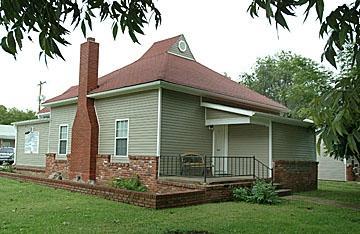
Neodesha, KS
Advertisement
Neodesha, KS Map
Neodesha is a US city in Wilson County in the state of Kansas. Located at the longitude and latitude of -95.681100, 37.423600 and situated at an elevation of 247 meters. In the 2020 United States Census, Neodesha, KS had a population of 2,275 people. Neodesha is in the Central Standard Time timezone at Coordinated Universal Time (UTC) -6. Find directions to Neodesha, KS, browse local businesses, landmarks, get current traffic estimates, road conditions, and more.
Neodesha, a small city in Kansas, is known for its rich history and connection to the oil industry. It is famously recognized as the site of the first commercially successful oil well west of the Mississippi River, drilled by the Norman No. 1 in 1892. This historical moment marked Neodesha as a significant player in the early days of the American oil boom. Visitors interested in this aspect of its history can explore local museums and historical markers that tell the story of the city's industrial past.
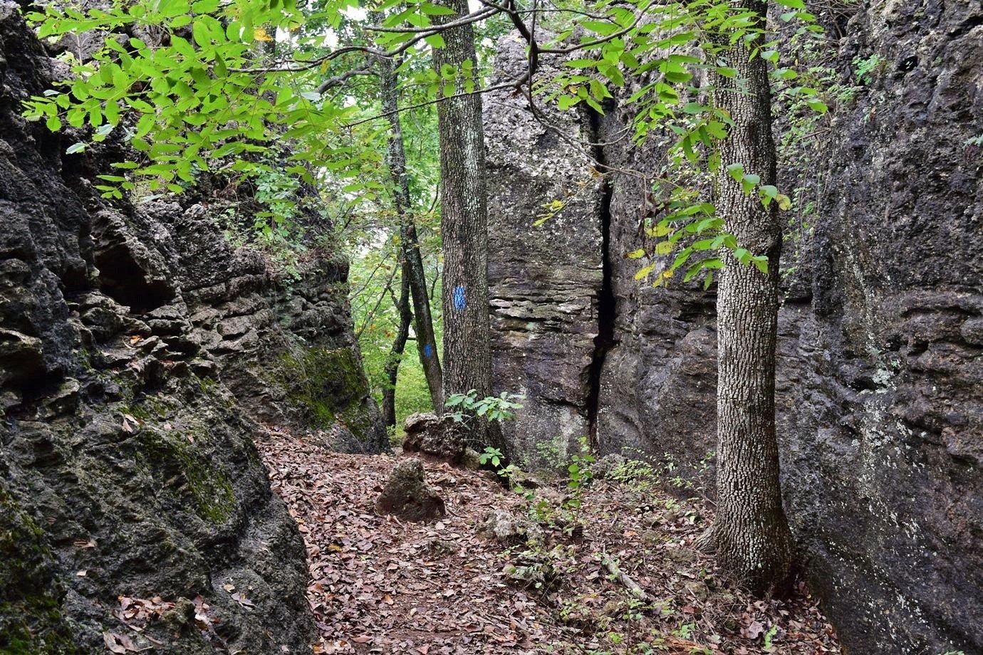
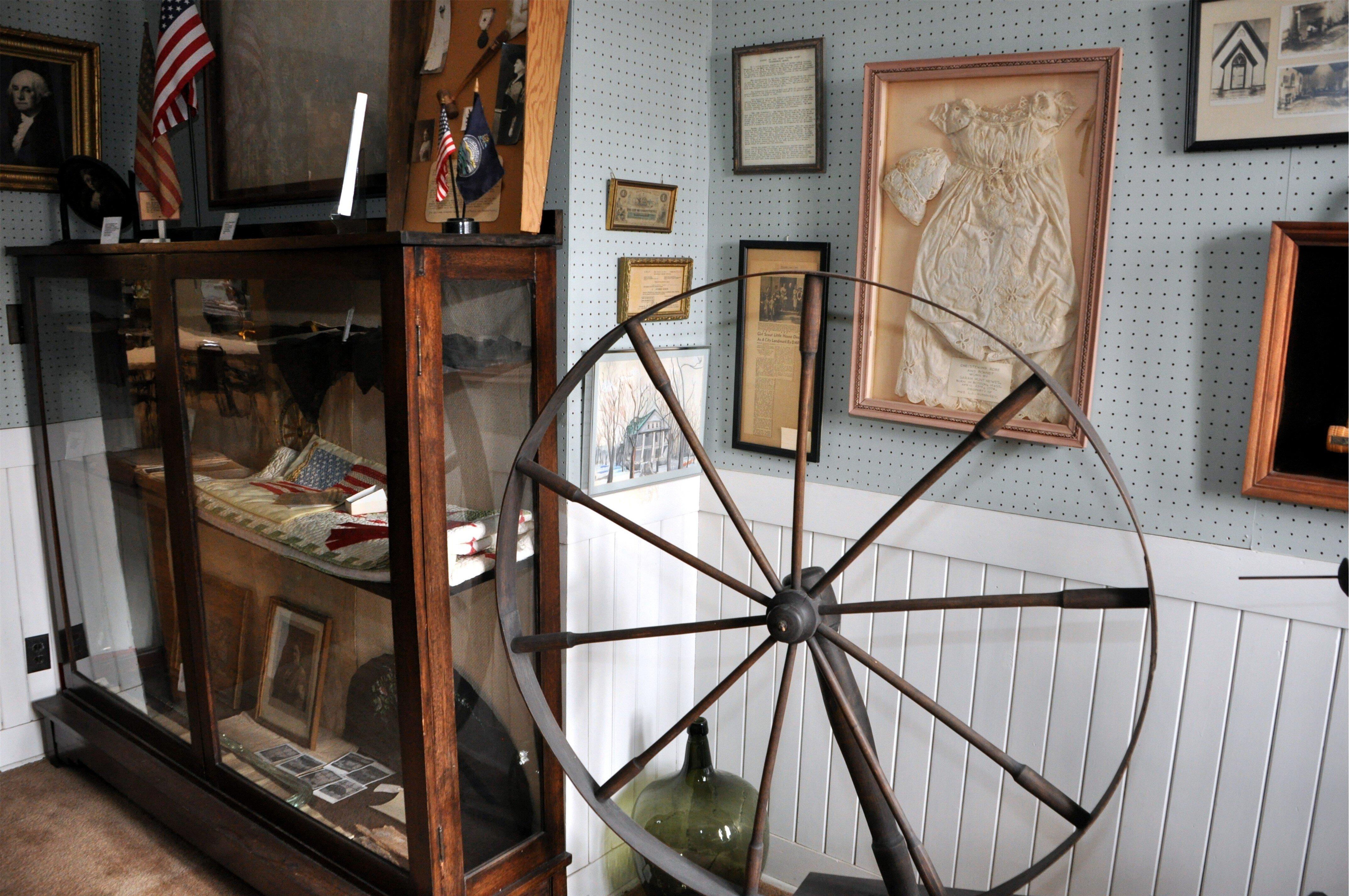
The city offers several attractions that highlight its historical and natural charm. The Norman No. 1 Oil Well Park is a popular spot for those eager to delve deeper into the region's oil history. Additionally, Riverside Park provides a serene environment for outdoor enthusiasts, offering facilities for picnicking, fishing, and walking trails. For those interested in local culture, the Neodesha Historical Society Museum showcases artifacts and exhibits that reflect the city's development and heritage. Overall, Neodesha presents a quaint yet informative experience for history buffs and nature lovers alike.
Nearby cities include: Neodesha, KS, Newark, KS, Talleyrand, KS, Sycamore, KS, Altoona, KS, West Cherry, KS, Cherry, KS, Fredonia, KS, Thayer, KS, Shiloh, KS.
Places in Neodesha
Dine and drink
Eat and drink your way through town.
Can't-miss activities
Culture, natural beauty, and plain old fun.
Places to stay
Hang your (vacation) hat in a place that’s just your style.
Advertisement


