Gove, KS
Advertisement
Gove City, KS Map
Gove City is a US city in Gove County in the state of Kansas. Located at the longitude and latitude of -100.487000, 38.959400 and situated at an elevation of 802 meters. In the 2020 United States Census, Gove City, KS had a population of 80 people. Gove City is in the Central Standard Time timezone at Coordinated Universal Time (UTC) -6. Find directions to Gove City, KS, browse local businesses, landmarks, get current traffic estimates, road conditions, and more.
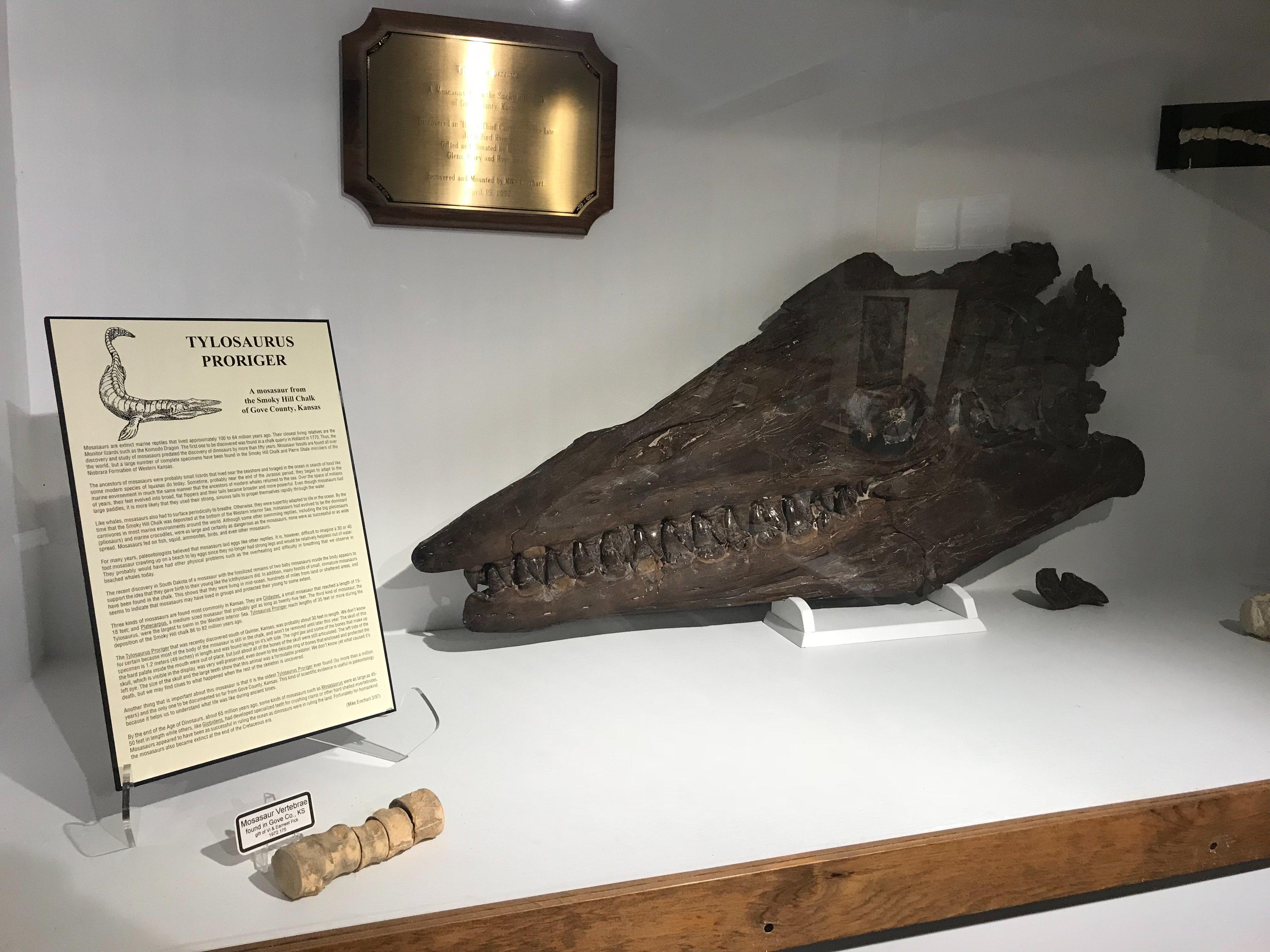
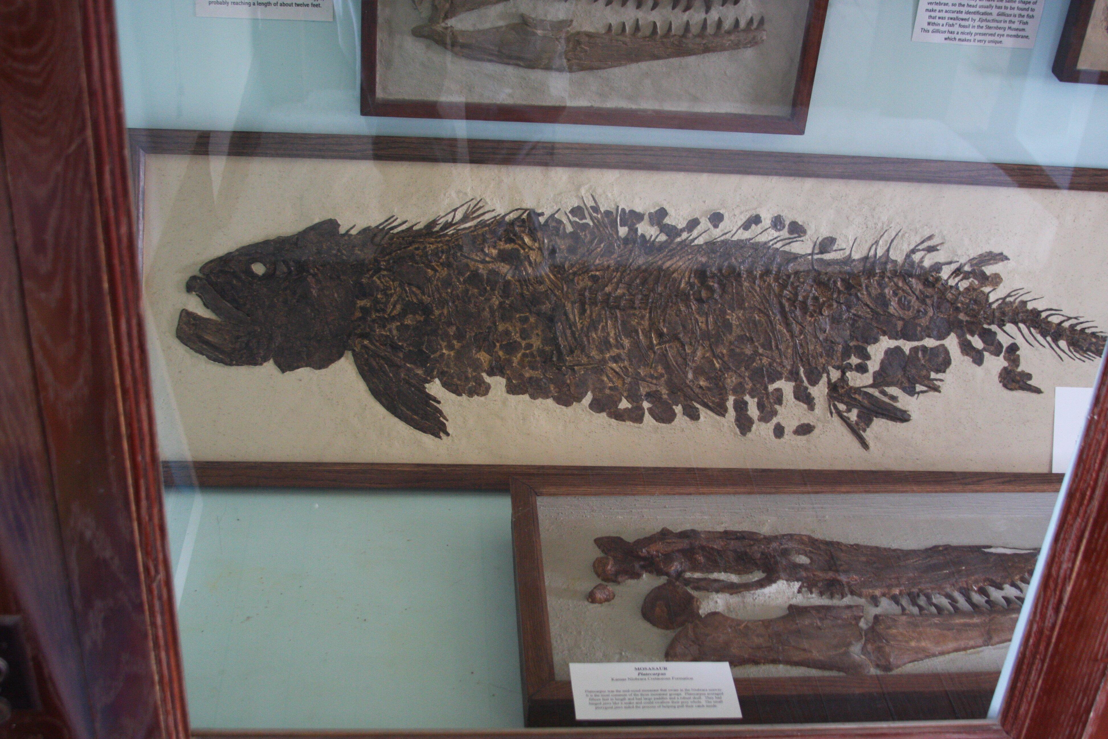
Gove City, located in the heart of Kansas, is a small yet historically rich community known for its quintessential Midwestern charm. The city is most recognized for its historical landmarks and agricultural roots, which paint a vivid picture of life in the American plains. Visitors to Gove City can explore the Gove County Historical Museum, which offers insights into the area's past through a collection of artifacts and exhibits that tell the story of the pioneers and settlers who shaped the region. The museum provides a comprehensive glimpse into the history and development of Gove City and its surrounding areas.
In addition to its historical significance, Gove City is a gateway to exploring the natural beauty of the Kansas plains. The city is surrounded by expansive farmland and open skies, offering a serene escape for those looking to experience the tranquility of rural America. Outdoor enthusiasts often find themselves drawn to the area's scenic landscapes, which are perfect for leisurely drives or picnics in the countryside. Gove City's blend of history and natural beauty makes it a unique stop for those traveling through Kansas.
Nearby cities include: Gove, KS, Grainfield, KS, Payne, KS, Grainfield, KS, Jerome, KS, Park, KS, Grinnell, KS, Gaeland, KS, Grinnell, KS, Baker, KS.
Places in Gove
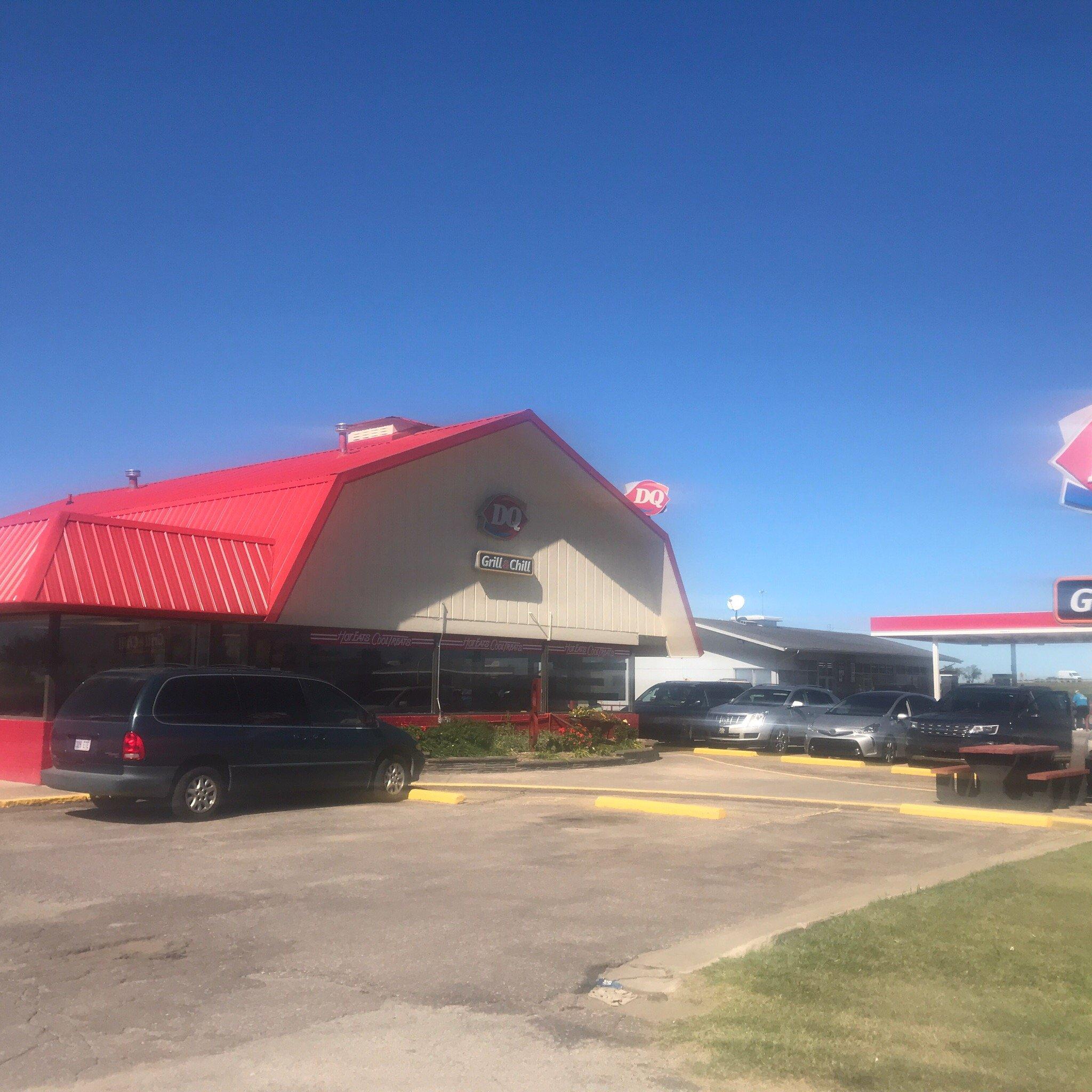
Dine and drink
Eat and drink your way through town.
Can't-miss activities
Culture, natural beauty, and plain old fun.
Places to stay
Hang your (vacation) hat in a place that’s just your style.
Advertisement


