Eureka, KS
Advertisement
Eureka, KS Map
Eureka is a US city in Greenwood County in the state of Kansas. Located at the longitude and latitude of -96.289400, 37.822800 and situated at an elevation of 329 meters. In the 2020 United States Census, Eureka, KS had a population of 2,332 people. Eureka is in the Central Standard Time timezone at Coordinated Universal Time (UTC) -6. Find directions to Eureka, KS, browse local businesses, landmarks, get current traffic estimates, road conditions, and more.
Eureka, located in the heart of Kansas, is recognized for its quintessential Midwestern charm and historical roots. Known as a welcoming community with a rich agricultural backdrop, the city offers a glimpse into the serene life of rural America. Eureka's history dates back to the late 19th century, when it was established as part of the westward expansion, and its name is derived from the Greek word meaning "I have found it," reflecting the settlers' sentiment upon discovering the fertile land. The city holds a special place in history with its well-preserved buildings and stories from the past, which can be explored through local museums and historical sites.
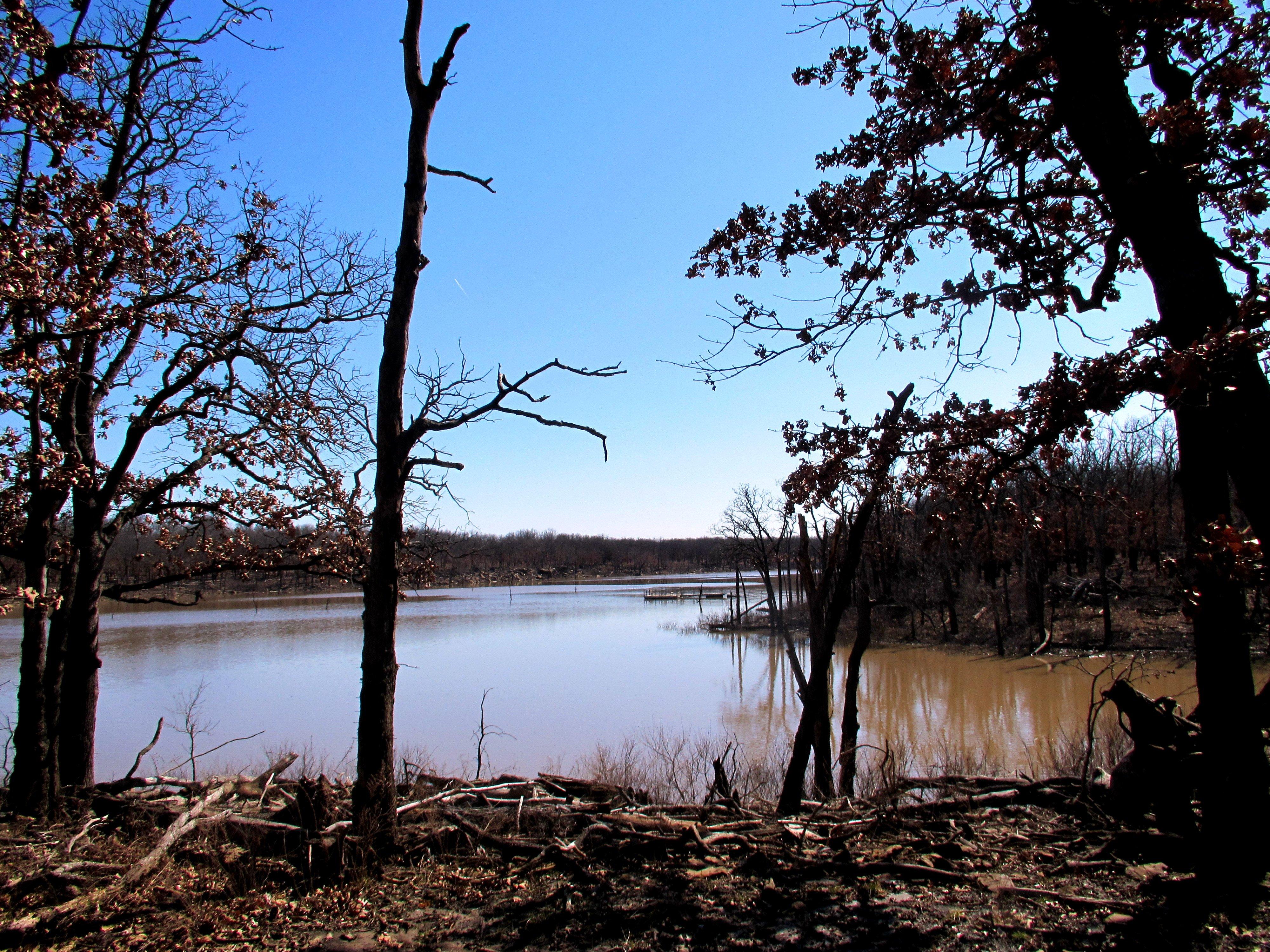
Visitors to Eureka will find a selection of attractions that highlight its cultural and natural beauty. The Greenwood County Historical Museum is a notable stop, offering insights into the area's past through a diverse collection of artifacts and exhibits. For those interested in outdoor activities, Eureka Lake is a popular destination, providing opportunities for fishing, boating, and picnicking amidst scenic surroundings. The city also hosts several annual events and festivals that celebrate its heritage and community spirit, making it a charming stop for those exploring the Sunflower State.
Nearby cities include: Bachelor, KS, Otter Creek, KS, Climax, KS, Fall River, KS, Spring Creek, KS, South Salem, KS, Neal, KS, Janesville, KS, Twin Grove, KS, Hamilton, KS.
Places in Eureka
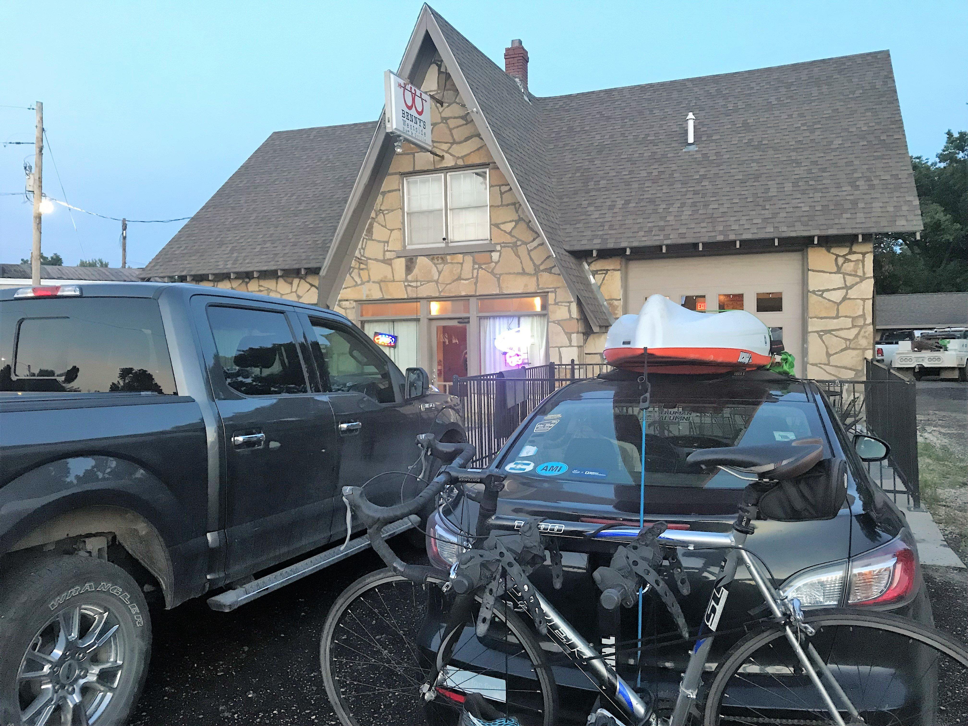
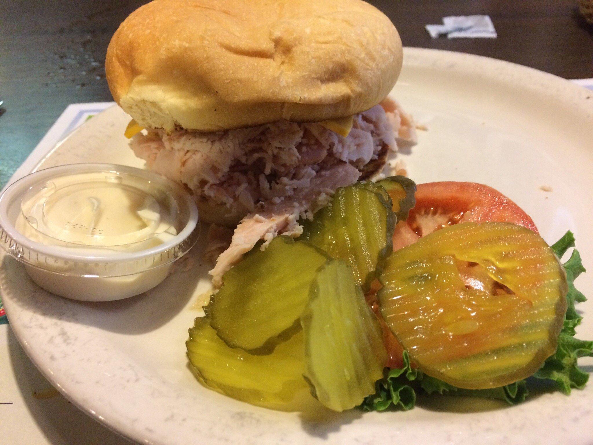
Dine and drink
Eat and drink your way through town.
Can't-miss activities
Culture, natural beauty, and plain old fun.
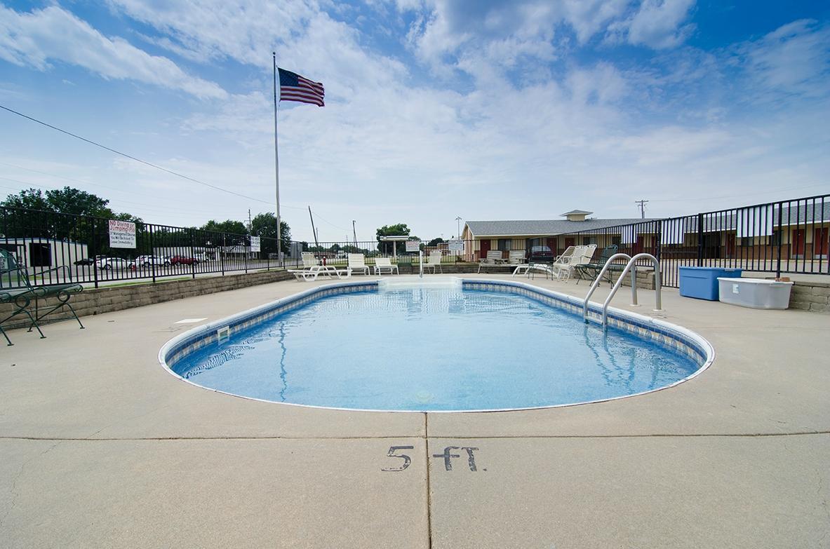
Places to stay
Hang your (vacation) hat in a place that’s just your style.
Advertisement


