Bachelor, KS
Advertisement
Bachelor Township, KS Map
Bachelor Township is a US city in Greenwood County in the state of Kansas. Located at the longitude and latitude of -96.196111, 37.838889 and situated at an elevation of 323 meters. In the 2020 United States Census, Bachelor Township, KS had a population of 164 people. Bachelor Township is in the Central Standard Time timezone at Coordinated Universal Time (UTC) -6. Find directions to Bachelor Township, KS, browse local businesses, landmarks, get current traffic estimates, road conditions, and more.
Bachelor Township, nestled in the heart of Kansas, is a quaint locale known primarily for its rich agricultural heritage and tight-knit community feel. The township's history is deeply rooted in farming, with expansive fields and historic barns dotting the landscape. Visitors to Bachelor Township often explore the local Farmer's Market, which showcases a variety of fresh, locally grown produce and artisanal goods, offering a glimpse into the township's agrarian lifestyle. The community prides itself on preserving its history, evident in the small but captivating Bachelor Township Historical Museum, which houses artifacts and exhibits detailing the area's development over the years.
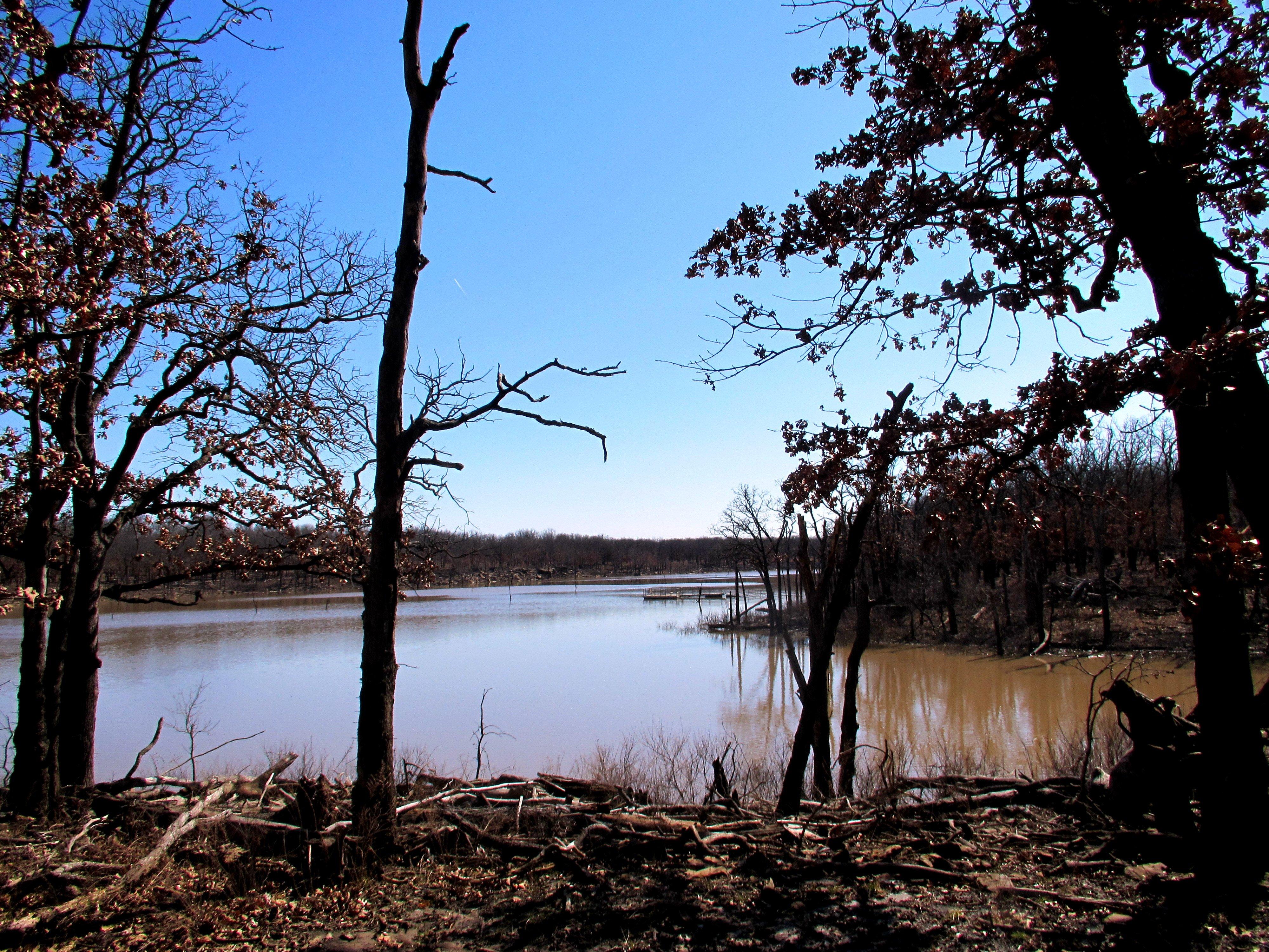
Another highlight of Bachelor Township is the serene Bachelor Lake, a popular spot for both locals and tourists seeking relaxation or recreational activities such as fishing and picnicking. For those interested in outdoor adventures, the Bachelor Nature Trail offers picturesque paths ideal for hiking and birdwatching. The township also hosts an annual Harvest Festival, celebrating its farming roots with parades, live music, and traditional Kansas fare, drawing visitors from all around to experience the hospitality and charm that Bachelor Township has to offer.
Nearby cities include: Eureka, KS, Neal, KS, Fall River, KS, Climax, KS, Pleasant Grove, KS, Hamilton, KS, Janesville, KS, Otter Creek, KS, South Salem, KS, Twin Grove, KS.
Places in Bachelor
Dine and drink
Eat and drink your way through town.
Places to stay
Hang your (vacation) hat in a place that’s just your style.
Advertisement


