Cawker, KS
Advertisement
Cawker City, KS Map
Cawker City is a US city in Mitchell County in the state of Kansas. Located at the longitude and latitude of -98.433900, 39.508900 and situated at an elevation of 456 meters. In the 2020 United States Census, Cawker City, KS had a population of 457 people. Cawker City is in the Central Standard Time timezone at Coordinated Universal Time (UTC) -6. Find directions to Cawker City, KS, browse local businesses, landmarks, get current traffic estimates, road conditions, and more.
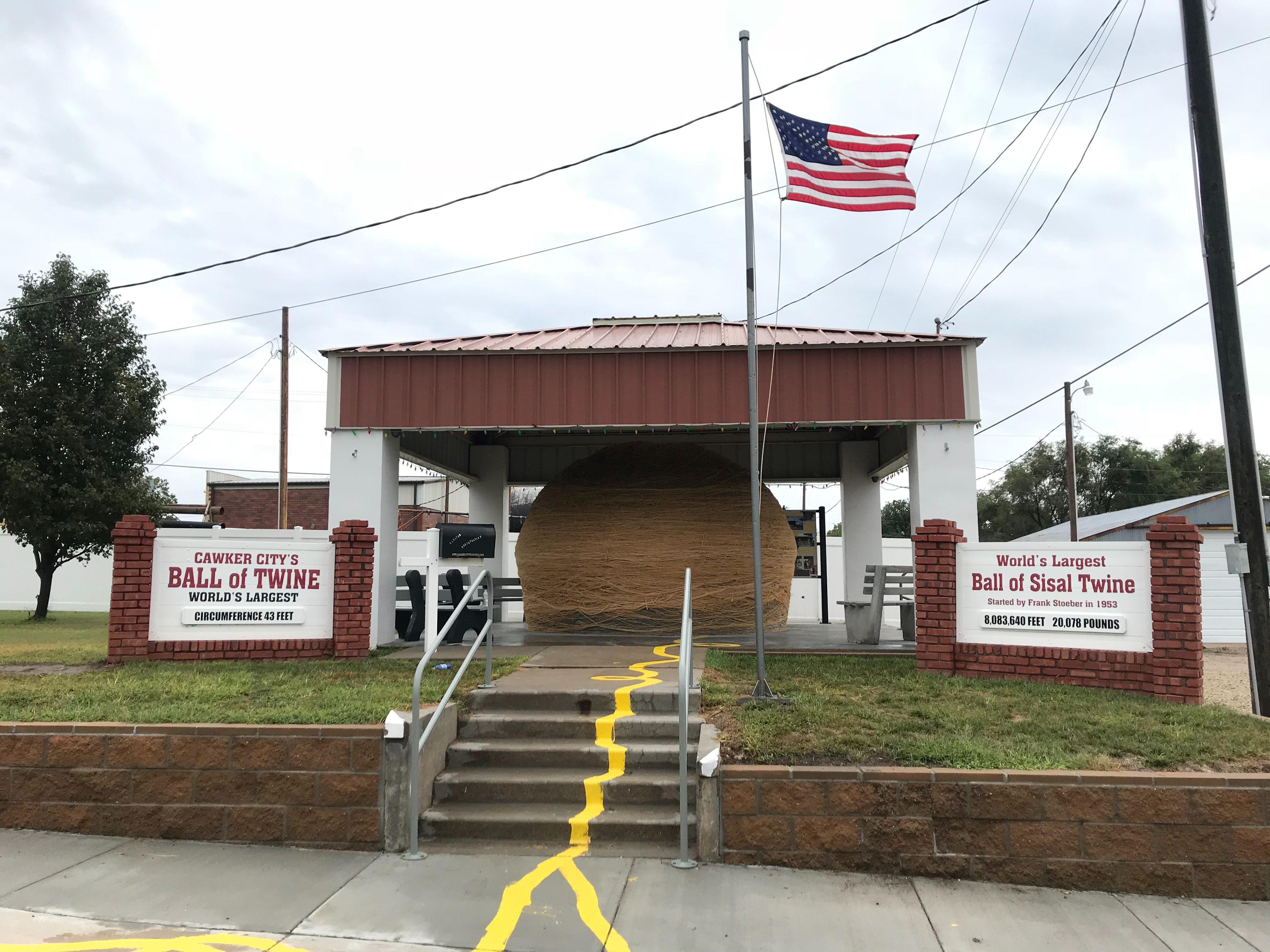
Cawker City, located in the state of Kansas, is celebrated for hosting one of the most unusual attractions in the United States: the World's Largest Ball of Twine. This quirky landmark has been accumulating twine since 1953, and visitors can even contribute to its growth. The site is a testament to small-town charm and community spirit, drawing tourists who are intrigued by roadside Americana. The ball of twine is accompanied by a gazebo and informational signage, enhancing the visitor experience.
Beyond the twine, Cawker City offers visitors a chance to explore the nearby Waconda Lake, a popular spot for fishing, boating, and picnicking. The city itself, with its quaint streets and local shops, provides a glimpse into the heartland of America. Historical enthusiasts might also appreciate the architecture of the early 20th-century buildings that dot the town, reflecting the rich history and development of this region. Cawker City exemplifies the unique and endearing aspects of small-town life in the Midwest.
Nearby cities include: Cawker, KS, Shirley, KS, Carr Creek, KS, Glen Elder, KS, Ross, KS, Downs, KS, Erving, KS, Glen Elder, KS, Walnut Creek, KS, Athens, KS.
Places in Cawker
Dine and drink
Eat and drink your way through town.
Can't-miss activities
Culture, natural beauty, and plain old fun.
Places to stay
Hang your (vacation) hat in a place that’s just your style.
Advertisement


