


Caldwell, KS
Advertisement
Caldwell, KS Map
Caldwell is a US city in Sumner County in the state of Kansas. Located at the longitude and latitude of -97.608900, 37.034200 and situated at an elevation of 348 meters. In the 2020 United States Census, Caldwell, KS had a population of 1,025 people. Caldwell is in the Central Standard Time timezone at Coordinated Universal Time (UTC) -6. Find directions to Caldwell, KS, browse local businesses, landmarks, get current traffic estimates, road conditions, and more.
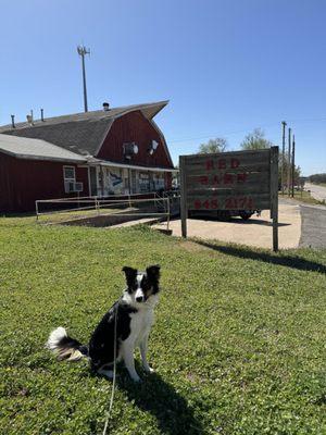
Caldwell, Kansas, is a city steeped in the vivid history of the American Wild West. Known as the "Border Queen City," it once served as a significant cattle town during the late 19th century. This rich historical backdrop is celebrated through various attractions and annual events that capture the essence of its cowboy past. Visitors can explore the Caldwell Historical Museum, which offers a glimpse into the city's vibrant history through its collection of artifacts and exhibits. Walking through the downtown area, you'll find historical markers that tell the tales of gunfights and outlaws, providing a fascinating journey back in time.
In addition to its historical appeal, Caldwell offers charming local shops and eateries that reflect the community's warm hospitality. The annual Border Queen Festival is a highlight for both residents and visitors, featuring parades, rodeos, and other festivities that celebrate the city's heritage. For those interested in the natural landscape, the Chisholm Trail, which played a crucial role in cattle drives, is nearby, providing an opportunity for scenic drives and leisurely exploration. Overall, Caldwell is a city where history and small-town charm coexist, offering a unique experience for those tracing the footsteps of the Old West.
Nearby cities include: Caldwell, KS, Bluff, KS, Renfrow, OK, Downs, KS, South Haven, KS, Hunnewell, KS, South Haven, KS, Morris, KS, Bluff City, KS, Ryan, KS.
Places in Caldwell
Dine and drink
Eat and drink your way through town.


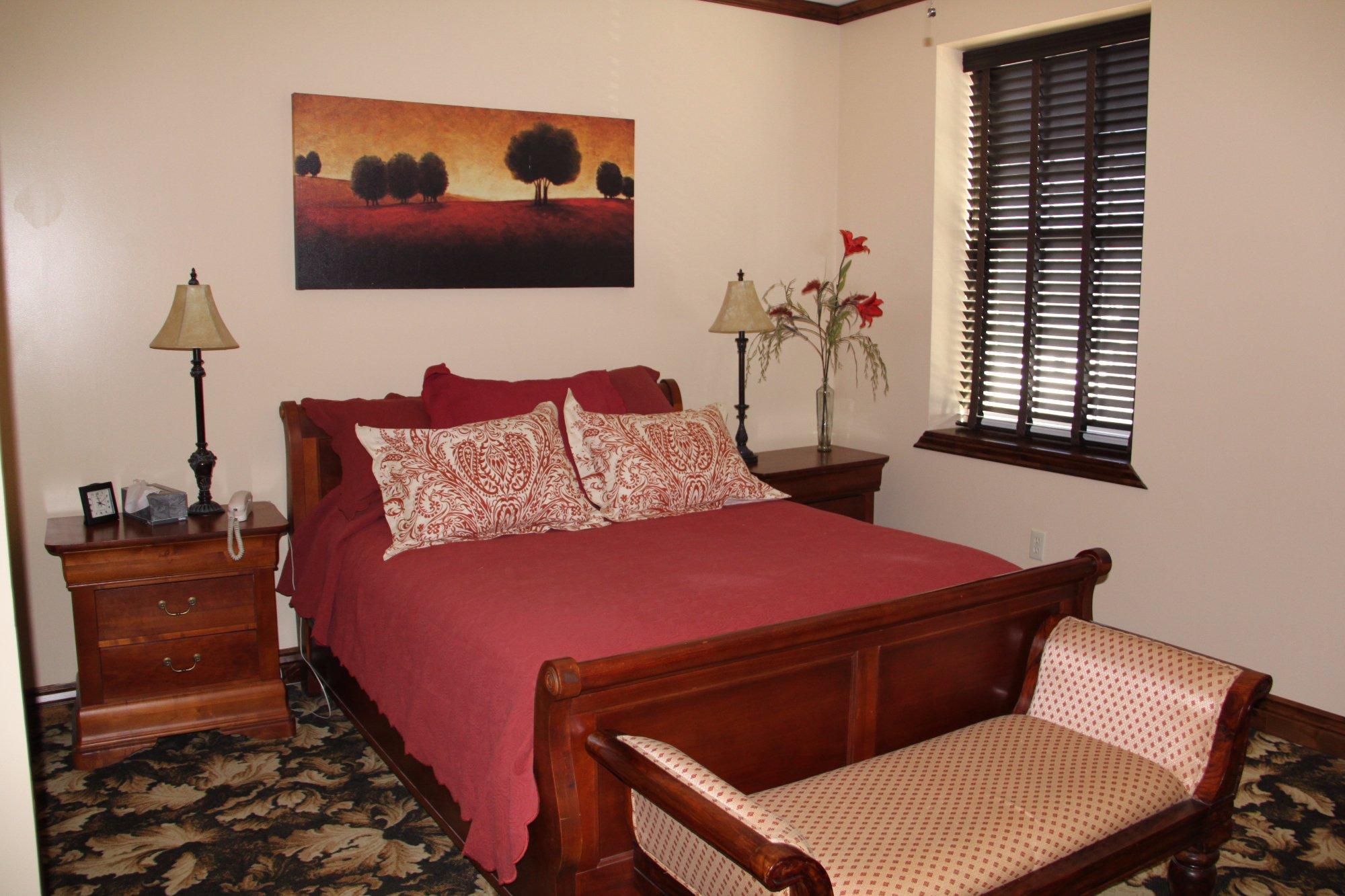
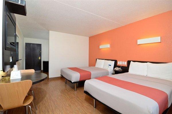
Places to stay
Hang your (vacation) hat in a place that’s just your style.

Advertisement