


Ivey, GA
Advertisement
Ivey, GA Map
Ivey is a US city in Wilkinson County in the state of Georgia. Located at the longitude and latitude of -83.300800, 32.909200 and situated at an elevation of 109 meters. In the 2020 United States Census, Ivey, GA had a population of 1,037 people. Ivey is in the Eastern Standard Time timezone at Coordinated Universal Time (UTC) -5. Find directions to Ivey, GA, browse local businesses, landmarks, get current traffic estimates, road conditions, and more.
Ivey, located in the heart of Georgia, is a small city that exudes a quintessential Southern charm. Known for its peaceful rural setting, it offers a tranquil escape from the hustle and bustle of urban life. Visitors to Ivey can enjoy the serene environment of its local parks and outdoor spaces, which are perfect for leisurely walks and picnics. The city's community spirit is evident in its local events and gatherings, which often highlight traditional Southern hospitality and culture.
The city's history is rooted in its agricultural past, and remnants of this heritage can still be seen in the surrounding landscapes and architecture. While Ivey may not boast a wide array of tourist attractions, its appeal lies in its simplicity and the warm welcome offered by its residents. For those interested in exploring the local culture, attending community events or visiting nearby historical sites can provide an insightful glimpse into the area's heritage. Overall, Ivey is a charming destination for those seeking a peaceful retreat and a taste of Southern living.
Nearby cities include: Gordon, GA, McIntyre, GA, Irwinton, GA, Milledgeville, GA, Toomsboro, GA, Gray, GA, Jeffersonville, GA, Macon, GA, Oconee, GA, Deepstep, GA.
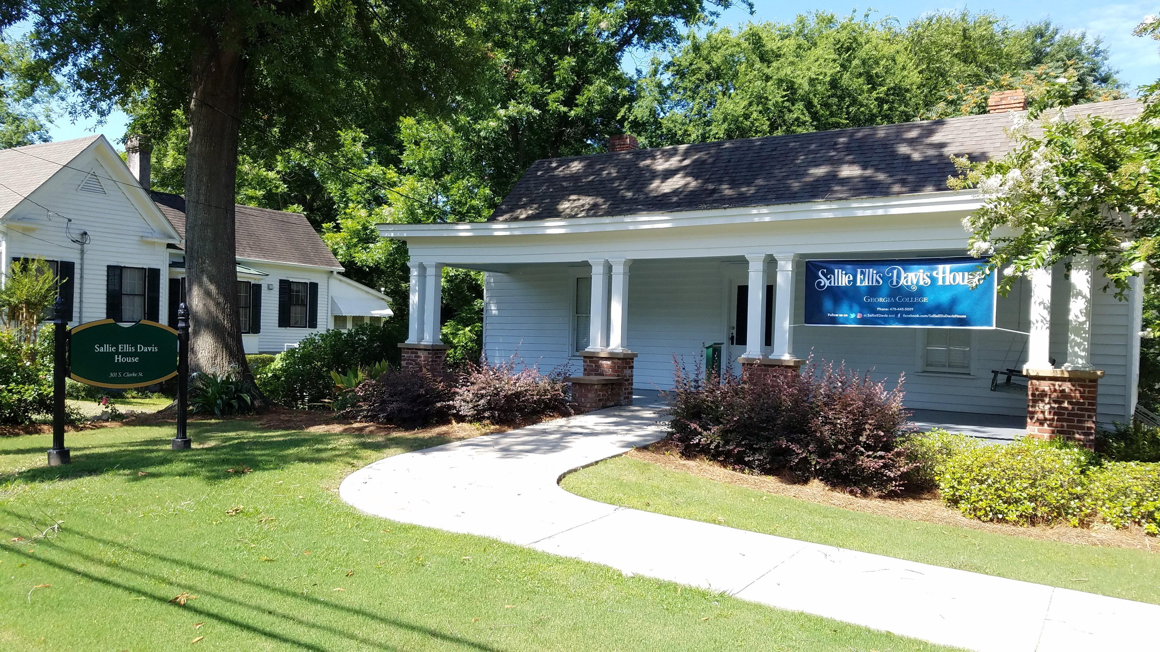
Places in Ivey
Dine and drink
Eat and drink your way through town.


Can't-miss activities
Culture, natural beauty, and plain old fun.


Places to stay
Hang your (vacation) hat in a place that’s just your style.


Advertisement