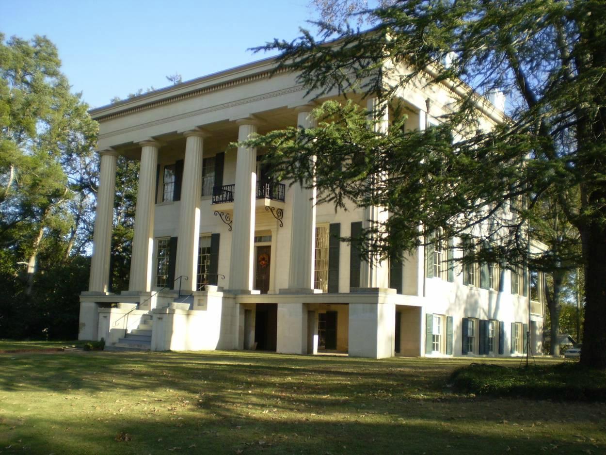
Gordon, GA
Advertisement
Gordon, GA Map
Gordon is a US city in Wilkinson County in the state of Georgia. Located at the longitude and latitude of -83.335300, 32.885800 and situated at an elevation of 106 meters. In the 2020 United States Census, Gordon, GA had a population of 1,783 people. Gordon is in the Eastern Standard Time timezone at Coordinated Universal Time (UTC) -5. Find directions to Gordon, GA, browse local businesses, landmarks, get current traffic estimates, road conditions, and more.
Gordon, located in the state of Georgia, is a small city with a rich history rooted in the development of the railroad industry. As a vital railway junction in the 19th century, Gordon played a significant role in the transportation of goods and passengers across the region. This historical significance is still evident today, with remnants of its railway heritage visible throughout the city. Visitors interested in this aspect of Gordon's past can explore the old train depots and other related sites that highlight its importance during the era of rail expansion in the United States.
While Gordon may not boast a plethora of tourist attractions, it offers a charming and authentic glimpse into small-town life in Georgia. The city is known for its welcoming atmosphere and community-centric events, which often take place in local parks and community centers. Nature enthusiasts can enjoy the scenic beauty of the surrounding countryside, with opportunities for outdoor activities such as hiking and bird watching. Gordon may not be a bustling metropolis, but its historical roots and community spirit make it a noteworthy stop for those exploring the heart of Georgia.
Nearby cities include: Ivey, GA, McIntyre, GA, Irwinton, GA, Jeffersonville, GA, Gray, GA, Milledgeville, GA, Toomsboro, GA, Macon, GA, Danville, GA, Allentown, GA.
Places in Gordon
Dine and drink
Eat and drink your way through town.
Can't-miss activities
Culture, natural beauty, and plain old fun.
Places to stay
Hang your (vacation) hat in a place that’s just your style.
Advertisement


