Dacula, GA
Advertisement
Dacula, GA Map
Dacula is a US city in Gwinnett County in the state of Georgia. Located at the longitude and latitude of -83.891900, 33.987500 and situated at an elevation of 320 meters. In the 2020 United States Census, Dacula, GA had a population of 6,882 people. Dacula is in the Eastern Standard Time timezone at Coordinated Universal Time (UTC) -5. Find directions to Dacula, GA, browse local businesses, landmarks, get current traffic estimates, road conditions, and more.
Dacula, located in the state of Georgia, is a small city known for its charming blend of suburban tranquility and historical significance. The city's history dates back to the early 1900s, with its name originating from a combination of letters from Decatur and Atlanta, reflecting its connection to the railroad expansion during that era. While it may not be a bustling metropolis, Dacula offers a welcoming community atmosphere and a slower pace of life that many find appealing.
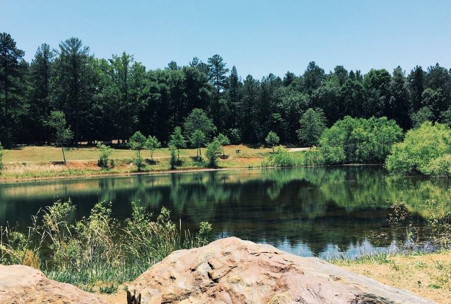
One of the popular places to visit in Dacula is the Little Mulberry Park, renowned for its picturesque landscapes, extensive trail system, and opportunities for outdoor recreation such as hiking, fishing, and picnicking. The park is a favorite spot for both locals and visitors seeking a peaceful retreat into nature. Additionally, the Elisha Winn House, a historic landmark dating back to the 19th century, offers a glimpse into the area's past and hosts an annual fair that attracts history enthusiasts and families alike. Dacula's small-town charm, coupled with its historical roots and natural beauty, makes it a noteworthy destination in Georgia.
Nearby cities include: Auburn, GA, Carl, GA, Lawrenceville, GA, Grayson, GA, Winder, GA, Loganville, GA, Hoschton, GA, Buford, GA, Bethlehem, GA, Snellville, GA.
Places in Dacula
Dine and drink
Eat and drink your way through town.
Can't-miss activities
Culture, natural beauty, and plain old fun.
Places to stay
Hang your (vacation) hat in a place that’s just your style.
Advertisement


