Phippsburg, CO
Advertisement
Phippsburg, CO Map
Phippsburg is a US city in Routt County in the state of Colorado. Located at the longitude and latitude of -106.943000, 40.232200 and situated at an elevation of 2,267 meters. In the 2020 United States Census, Phippsburg, CO had a population of 234 people. Phippsburg is in the Mountain Standard Time timezone at Coordinated Universal Time (UTC) -7. Find directions to Phippsburg, CO, browse local businesses, landmarks, get current traffic estimates, road conditions, and more.
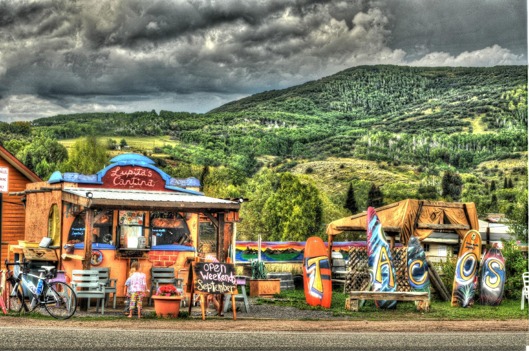
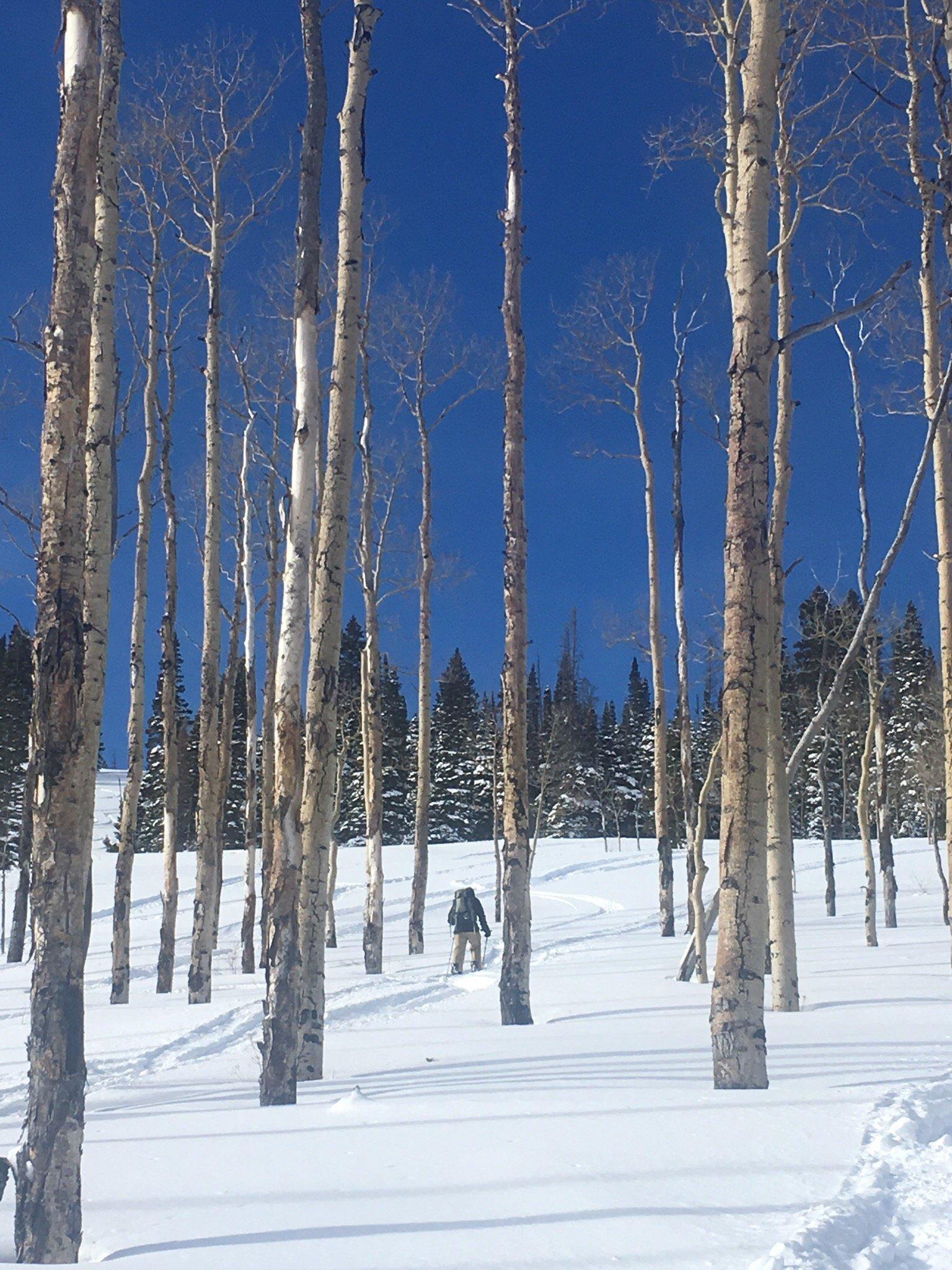
Phippsburg, located in the scenic state of Colorado, is a small, unincorporated community known for its tranquil setting amidst the grandeur of the Rocky Mountains. The area is characterized by its proximity to natural attractions and outdoor recreational opportunities, making it a favored spot for nature enthusiasts and those seeking a peaceful retreat. While Phippsburg itself may not boast a bustling cityscape, it serves as a gateway to the surrounding wilderness, offering easy access to hiking, fishing, and camping in the nearby national forests and parks.
The history of Phippsburg is rooted in its development as a railway town in the early 20th century. It was established as a hub for the Denver and Salt Lake Railroad, which played a significant role in the transportation of coal and other goods across the region. While the town has a modest number of attractions, visitors often appreciate the historical significance of the railway in shaping the area's identity. Phippsburg is also a short drive from several hot springs and ski resorts, providing additional leisure activities for those visiting the area.
Nearby cities include: Oak Creek, CO, Yampa, CO, Steamboat Springs, CO, Hayden, CO, Kremmling, CO, Craig, CO, Wolcott, CO, Gypsum, CO, Eagle, CO, Parshall, CO.
Places in Phippsburg
Dine and drink
Eat and drink your way through town.
Can't-miss activities
Culture, natural beauty, and plain old fun.
Places to stay
Hang your (vacation) hat in a place that’s just your style.
Advertisement


