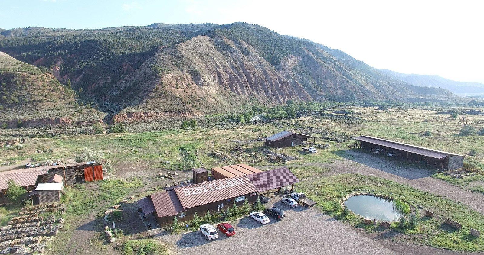
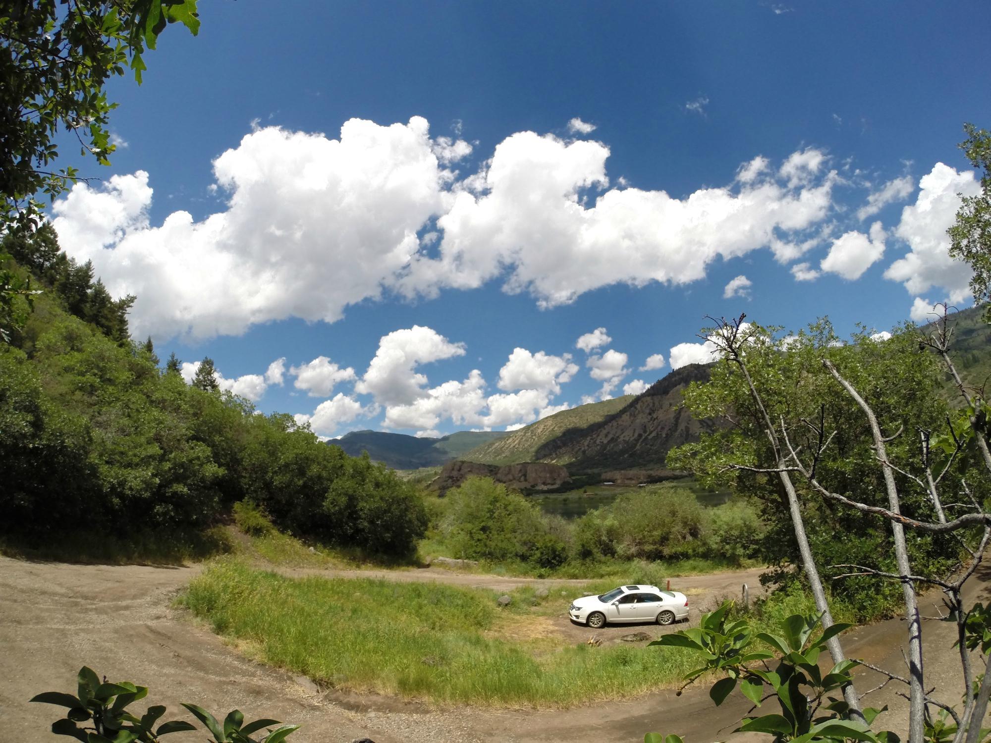
Gypsum, CO
Advertisement
Gypsum, CO Map
Gypsum is a US city in Eagle County in the state of Colorado. Located at the longitude and latitude of -106.940000, 39.644400 and situated at an elevation of 1,924 meters. In the 2020 United States Census, Gypsum, CO had a population of 8,040 people. Gypsum is in the Mountain Standard Time timezone at Coordinated Universal Time (UTC) -7. Find directions to Gypsum, CO, browse local businesses, landmarks, get current traffic estimates, road conditions, and more.
Gypsum, Colorado, is a town characterized by its picturesque setting amidst the Rocky Mountains and its close proximity to outdoor recreational activities. Known for its namesake mineral deposits, Gypsum has a rich history linked to mining and agriculture, which continues to influence the local culture today. The town is a gateway to the Eagle River, offering opportunities for fishing, kayaking, and rafting, making it an appealing destination for outdoor enthusiasts. Additionally, Gypsum is home to the Eagle County Regional Airport, providing convenient access for travelers looking to explore the broader region.
Within the town, visitors can enjoy the Gypsum Creek Golf Course, a popular spot offering stunning mountain views and a challenging 18-hole course. The Gypsum Recreation Center serves as a hub for community activities, featuring a swimming pool, fitness facilities, and sports courts. For those interested in history, the nearby historic mining sites offer a glimpse into the area's past. Gypsum's blend of natural beauty and recreational amenities makes it a charming spot for both residents and visitors seeking a taste of Colorado's outdoor lifestyle.
Nearby cities include: Eagle, CO, Wolcott, CO, Edwards, CO, No Name, CO, Basalt, CO, Glenwood Springs, CO, Avon, CO, Carbondale, CO, Woody Creek, CO, Minturn, CO.
Places in Gypsum
Dine and drink
Eat and drink your way through town.
Can't-miss activities
Culture, natural beauty, and plain old fun.
Places to stay
Hang your (vacation) hat in a place that’s just your style.
Advertisement


