


New Cuyama, CA
Advertisement
New Cuyama, CA Map
New Cuyama is a US city in Santa Barbara County in the state of California. Located at the longitude and latitude of -119.685410, 34.946920 and situated at an elevation of 2,150 meters. In the 2020 United States Census, New Cuyama, CA had a population of 542 people. New Cuyama is in the Pacific Standard Time timezone at Coordinated Universal Time (UTC) -8. Find directions to New Cuyama, CA, browse local businesses, landmarks, get current traffic estimates, road conditions, and more.
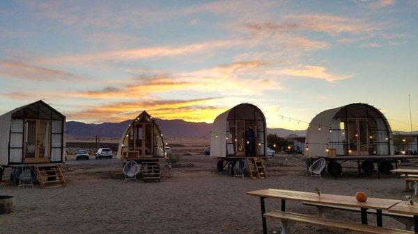
New Cuyama, nestled in the picturesque Cuyama Valley of California, is a small town known for its rich agricultural history and tranquil desert landscapes. Originally developed in the 1950s by Atlantic Richfield Company as a company town, New Cuyama was designed to support the burgeoning oil industry in the region. Over the years, it has transformed into a charming destination for those seeking a peaceful retreat. Visitors can explore the Blue Sky Center, a community hub that focuses on sustainable development and offers unique lodging experiences, including retrofitted trailers and tiny homes. This center is a testament to the town's innovative spirit and commitment to community-driven projects.
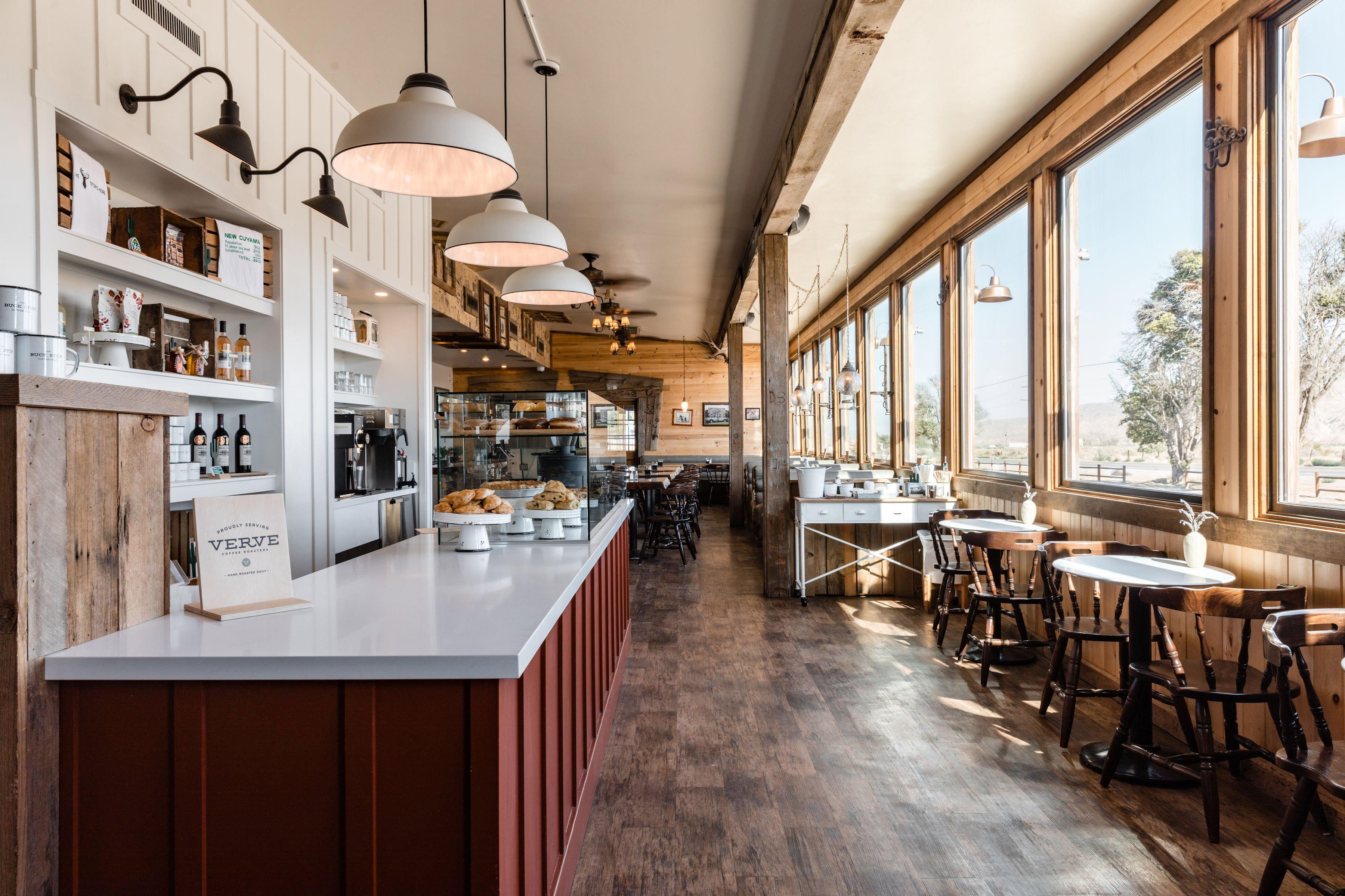
Among the popular places to visit in New Cuyama is the Cuyama Buckhorn, a mid-century modern roadside hotel and restaurant that has been revitalized to offer a nostalgic yet contemporary experience. It serves as a perfect base for exploring the natural beauty of the surrounding area, including the Los Padres National Forest and the Carrizo Plain National Monument, which are ideal for hiking, bird watching, and photography. New Cuyama's serene environment, coupled with its intriguing past and ongoing community initiatives, makes it a distinctive stop for those exploring California's lesser-known gems.
Nearby cities include: Fellows, CA, Maricopa, CA, Taft, CA, McKittrick, CA, Tupman, CA, Pine Mountain Club, CA, Los Olivos, CA, Santa Ynez, CA, Buttonwillow, CA, Solvang, CA.
Places in New Cuyama
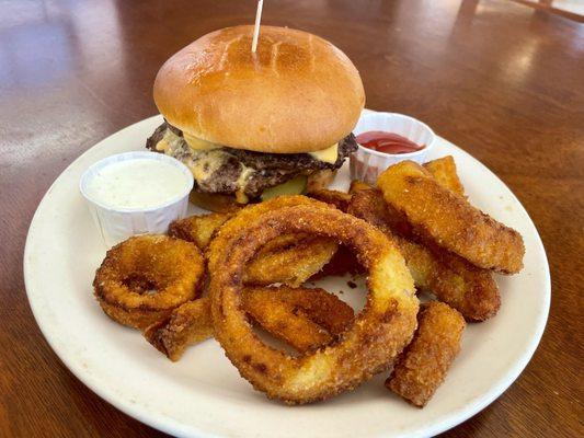
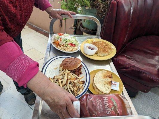
Dine and drink
Eat and drink your way through town.

Can't-miss activities
Culture, natural beauty, and plain old fun.


Places to stay
Hang your (vacation) hat in a place that’s just your style.


Advertisement