


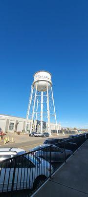
McClellan, CA
Advertisement
McClellan Park, CA Map
McClellan Park is a US city in Sacramento County in the state of California. Located at the longitude and latitude of -121.402000, 38.662200 and situated at an elevation of 69 meters. In the 2020 United States Census, McClellan Park, CA had a population of 926 people. McClellan Park is in the Pacific Standard Time timezone at Coordinated Universal Time (UTC) -8. Find directions to McClellan Park, CA, browse local businesses, landmarks, get current traffic estimates, road conditions, and more.
McClellan Park, located in California, is a unique area known for its rich history and transformation from a military base to a thriving business park. Originally established as McClellan Air Force Base in 1935, it played a significant role in military aviation history before its closure in 2001. Today, McClellan Park serves as a hub for business and innovation, housing a variety of enterprises ranging from aerospace to logistics companies. The park's commitment to preserving its historical roots is evident in the museum and displays that highlight its past significance in military aviation.
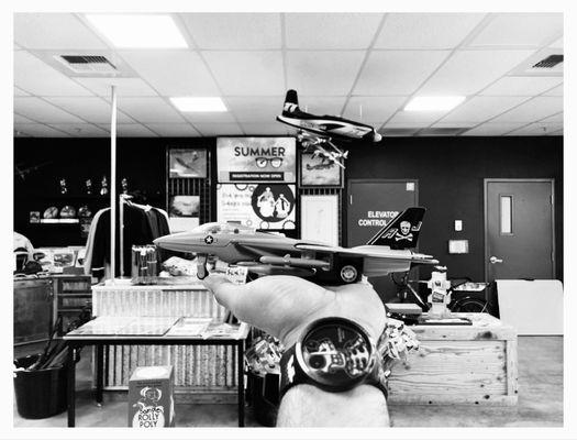
Visitors to McClellan Park can explore the Aerospace Museum of California, a popular attraction that offers a comprehensive look at aviation history with its impressive collection of aircraft and interactive exhibits. The museum is a must-visit for aviation enthusiasts and families alike, providing educational experiences and special events throughout the year. Additionally, McClellan Park hosts a variety of community and business events, making it a dynamic location that blends historical significance with modern-day enterprise and community engagement.
Nearby cities include: North Highlands, CA, Rio Linda, CA, Arden-Arcade, CA, Antelope, CA, Carmichael, CA, Elverta, CA, Citrus Heights, CA, Rancho Cordova, CA, Sacramento, CA, Sacramento, CA.
Places in McClellan
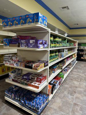
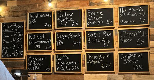
Dine and drink
Eat and drink your way through town.


Can't-miss activities
Culture, natural beauty, and plain old fun.
Places to stay
Hang your (vacation) hat in a place that’s just your style.


Advertisement