El Cerrito, CA
Advertisement
El Cerrito, CA Map
El Cerrito is a US city in Contra Costa County in the state of California. Located at the longitude and latitude of -122.311667, 37.915833 and situated at an elevation of 69 meters. In the 2020 United States Census, El Cerrito, CA had a population of 25,962 people. El Cerrito is in the Pacific Standard Time timezone at Coordinated Universal Time (UTC) -8. Find directions to El Cerrito, CA, browse local businesses, landmarks, get current traffic estimates, road conditions, and more.
El Cerrito, California, is a city known for its vibrant community and rich history. Founded by refugees from the 1906 San Francisco earthquake, it has grown into a charming suburban area with a strong sense of local identity. The city is renowned for its natural beauty and parks, including the scenic Hillside Natural Area, which offers hiking trails and panoramic views of the San Francisco Bay. El Cerrito is also home to the historic Cerrito Theater, a restored Art Deco cinema that now functions as both a movie theater and a community gathering spot.
In addition to its historical attractions, El Cerrito hosts a variety of popular spots for both residents and visitors. The El Cerrito Plaza is a bustling shopping center that provides a mix of retail and dining options, making it a central hub for the community. The city also emphasizes cultural enrichment through venues like the El Cerrito Community Center, which offers a range of recreational and educational programs. Known for its commitment to sustainability and community involvement, El Cerrito is a city that blends suburban tranquility with a lively local culture.
Nearby cities include: Albany, CA, Richmond, CA, San Pablo, CA, Berkeley, CA, El Sobrante, CA, Tara Hills, CA, Emeryville, CA, Pinole, CA, Bayview, CA, Hercules, CA.
Places in El Cerrito
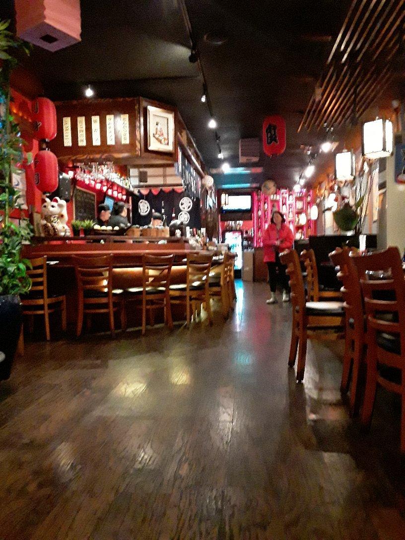
Dine and drink
Eat and drink your way through town.
Can't-miss activities
Culture, natural beauty, and plain old fun.
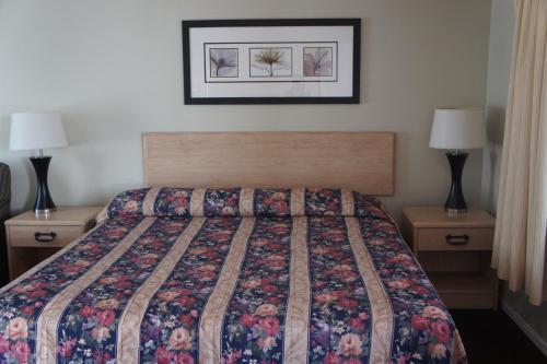
Places to stay
Hang your (vacation) hat in a place that’s just your style.
Advertisement


