


Camptonville, CA
Advertisement
Camptonville, CA Map
Camptonville is a US city in Yuba County in the state of California. Located at the longitude and latitude of -121.048611, 39.451944 and situated at an elevation of 2,825 meters. In the 2020 United States Census, Camptonville, CA had a population of 158 people. Camptonville is in the Pacific Standard Time timezone at Coordinated Universal Time (UTC) -8. Find directions to Camptonville, CA, browse local businesses, landmarks, get current traffic estimates, road conditions, and more.
Camptonville, California, is a small, historic town known for its rich legacy from the Gold Rush era. Situated amidst the picturesque Sierra Nevada mountains, it offers a glimpse into the past with its preserved architecture and historical landmarks. The town was originally established as a mining camp in the mid-1800s, and its history is still palpable through sites like the Camptonville Cemetery and the historic Wells Fargo building. The town's charming atmosphere is complemented by its natural beauty, making it a serene escape for those interested in both history and nature.
Visitors to Camptonville can explore the surrounding Tahoe National Forest, which offers ample opportunities for outdoor activities such as hiking, camping, and fishing. The nearby Bullards Bar Reservoir is a popular spot for boating and water sports, providing a refreshing retreat during the warmer months. The town also hosts community events that celebrate its heritage and foster a sense of camaraderie among residents and visitors alike. Camptonville's unique blend of history and natural beauty makes it a captivating destination for those seeking a quiet getaway with a touch of historical intrigue.
Nearby cities include: Pike, CA, North San Juan, CA, Clipper Mills, CA, Dobbins, CA, Goodyears Bar, CA, Alleghany, CA, Forbestown, CA, Nevada City, CA, Washington, CA, Downieville, CA.
Places in Camptonville
Dine and drink
Eat and drink your way through town.
Can't-miss activities
Culture, natural beauty, and plain old fun.
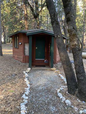
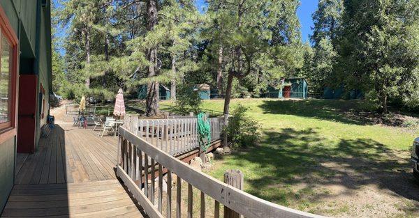
Places to stay
Hang your (vacation) hat in a place that’s just your style.

Advertisement