Dadeville, AL
Advertisement
Dadeville, AL Map
Dadeville is a US city in Tallapoosa County in the state of Alabama. Located at the longitude and latitude of -85.763611, 32.831389 and situated at an elevation of 222 meters. In the 2020 United States Census, Dadeville, AL had a population of 3,084 people. Dadeville is in the Central Standard Time timezone at Coordinated Universal Time (UTC) -6. Find directions to Dadeville, AL, browse local businesses, landmarks, get current traffic estimates, road conditions, and more.
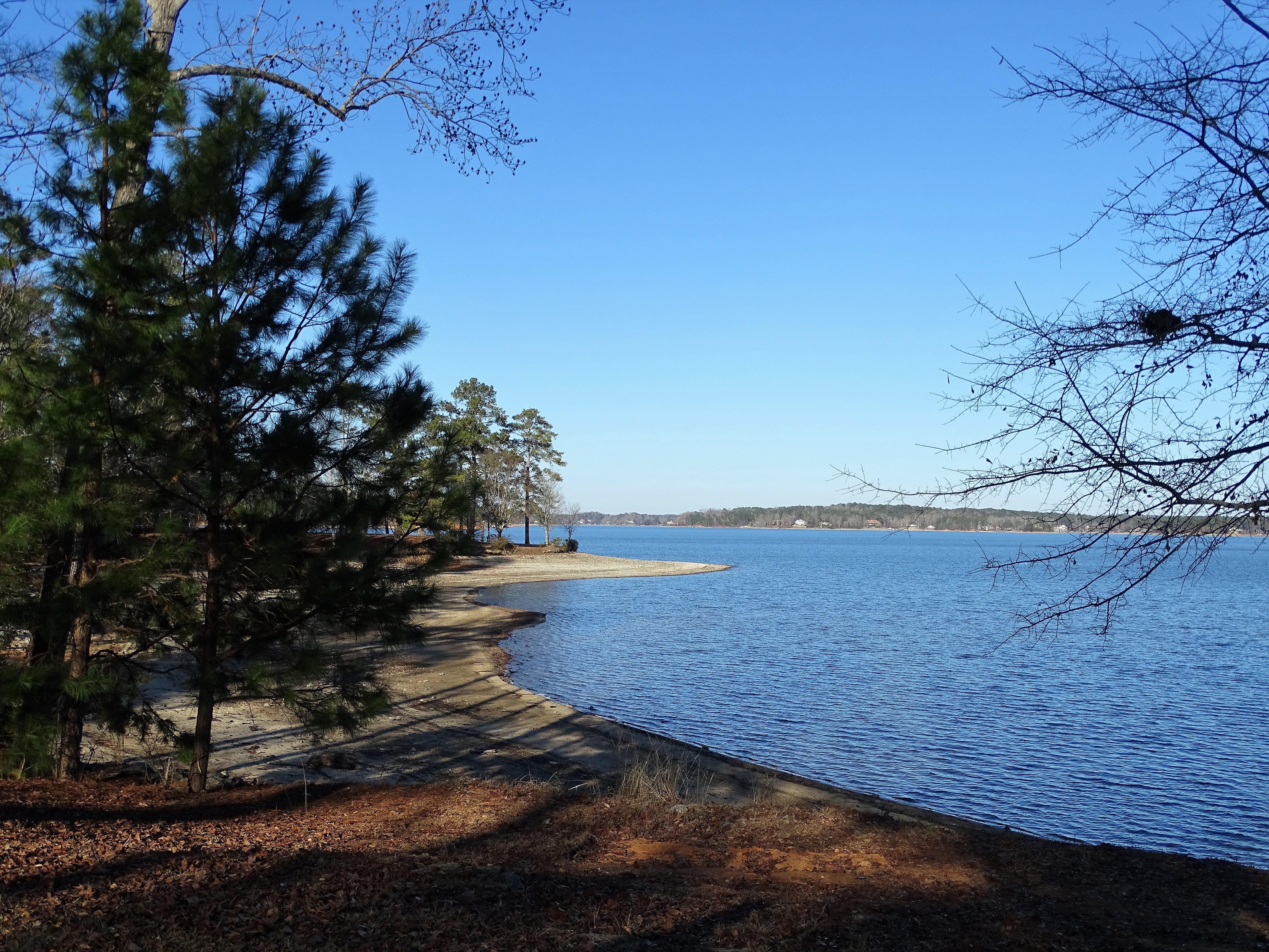
Dadeville, nestled in the heart of Alabama, is a charming city known for its welcoming community and historical significance. Established in the early 19th century, Dadeville has retained much of its small-town charm while offering a glimpse into the past with its well-preserved historical buildings. The city is closely associated with Lake Martin, a sprawling reservoir offering a plethora of recreational activities such as boating, fishing, and swimming. This makes Dadeville a popular destination for outdoor enthusiasts looking to enjoy the natural beauty of Alabama.
In addition to its outdoor attractions, Dadeville is home to several notable landmarks and cultural sites. The Horseshoe Bend National Military Park, located just a short drive away, commemorates a pivotal battle in the Creek War and offers visitors a chance to explore the history through its exhibits and walking trails. Within the city, visitors can find quaint local shops and eateries that reflect the area's Southern hospitality and charm. Whether you're there to delve into history or enjoy the scenic landscapes, Dadeville provides a peaceful retreat with a rich cultural backdrop.
Nearby cities include: Jacksons' Gap, AL, Camp Hill, AL, Alexander City, AL, Waverly, AL, New Site, AL, Daviston, AL, Goldville, AL, Loachapoka, AL, Kellyton, AL, Notasulga, AL.
Places in Dadeville
Dine and drink
Eat and drink your way through town.
Can't-miss activities
Culture, natural beauty, and plain old fun.
Places to stay
Hang your (vacation) hat in a place that’s just your style.
Advertisement


