


Thermopolis, WY
Advertisement
East Thermopolis, WY Map
East Thermopolis is a US city in Hot Springs County in the state of Wyoming. Located at the longitude and latitude of -108.196667, 43.644722 and situated at an elevation of 1,323 meters. In the 2020 United States Census, East Thermopolis, WY had a population of 229 people. East Thermopolis is in the Mountain Standard Time timezone at Coordinated Universal Time (UTC) -7. Find directions to East Thermopolis, WY, browse local businesses, landmarks, get current traffic estimates, road conditions, and more.
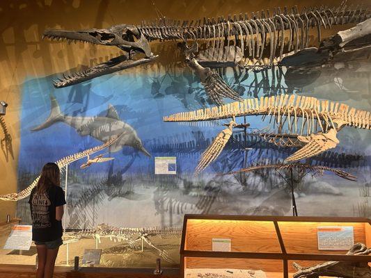
East Thermopolis, located in Wyoming, is a small town best known for its proximity to the world-famous Hot Springs State Park. This park is a major draw for visitors, offering a chance to experience the therapeutic benefits of its mineral hot springs, which are some of the largest in the world. The park also features beautiful terraces formed by the mineral-laden waters, scenic hiking trails, and a free bathhouse where visitors can soak in the warm waters. Additionally, East Thermopolis is home to the Wyoming Dinosaur Center, a popular attraction for families and paleontology enthusiasts, featuring an impressive collection of dinosaur skeletons and fossils, as well as the opportunity to participate in actual fossil digs.
Historically, East Thermopolis has roots in the late 19th and early 20th centuries when the area's natural hot springs began attracting health seekers and tourists. The town, along with its neighbor across the river, Thermopolis, capitalized on this natural resource to develop a tourism industry that remains vital to its economy today. Visitors to East Thermopolis can also explore the Wind River Canyon, known for its stunning geological formations and opportunities for white-water rafting. This combination of natural wonders and historical intrigue makes East Thermopolis a unique destination for those looking to explore the less-traveled paths of Wyoming.
Nearby cities include: Thermopolis, WY, Kirby, WY, Shoshoni, WY, Worland, WY, Pavillion, WY, Riverton, WY, Manderson, WY, Ten Sleep, WY, Arapahoe, WY, Meeteetse, WY.
Places in Thermopolis
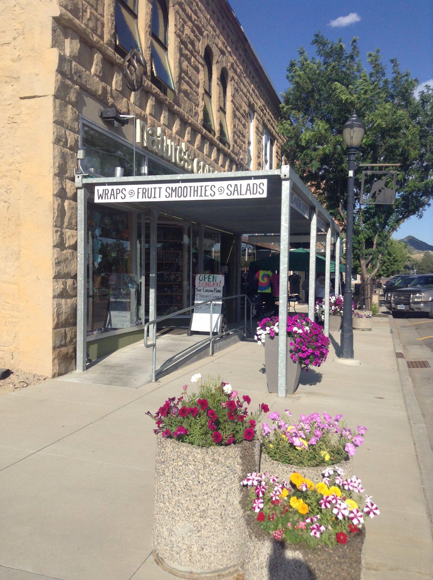
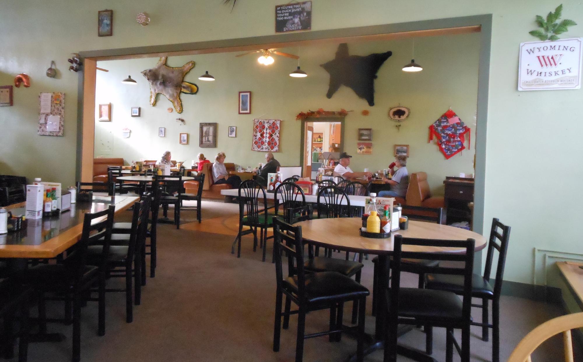
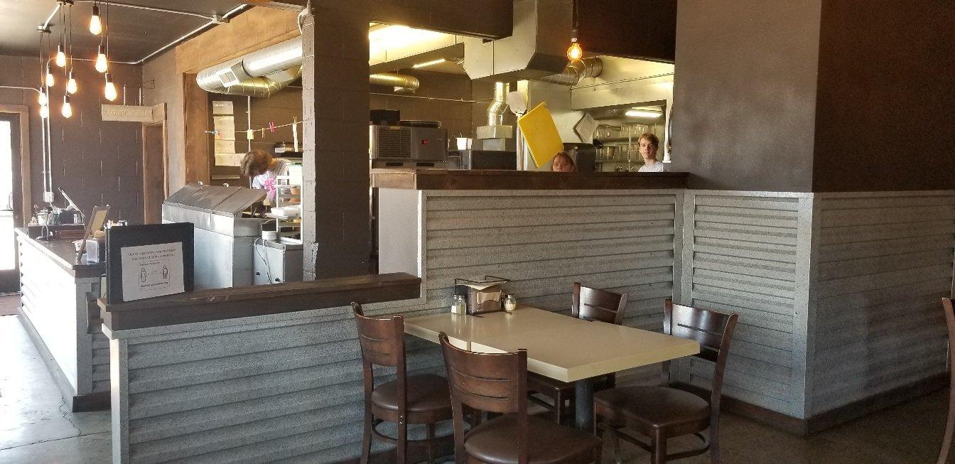
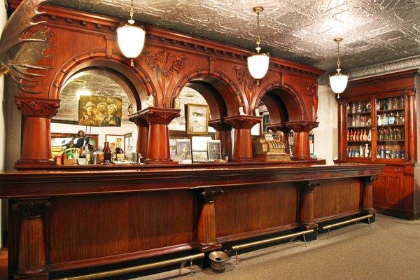
Dine and drink
Eat and drink your way through town.

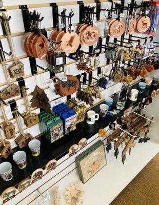
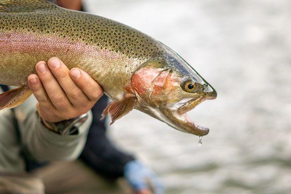
Can't-miss activities
Culture, natural beauty, and plain old fun.

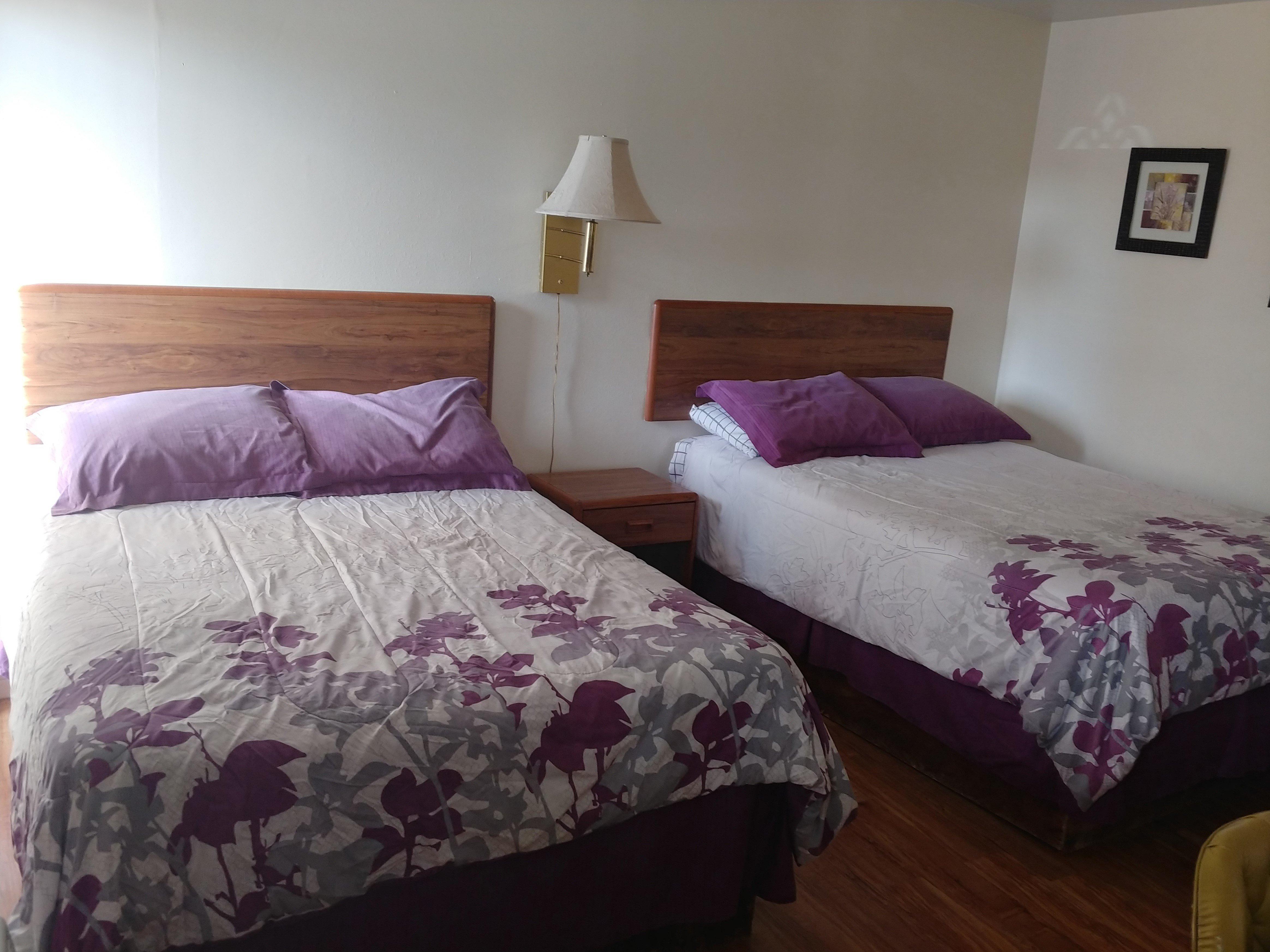
Places to stay
Hang your (vacation) hat in a place that’s just your style.

Advertisement