Moorcroft, WY
Advertisement
Moorcroft, WY Map
Moorcroft is a US city in Crook County in the state of Wyoming. Located at the longitude and latitude of -104.950556, 44.265000 and situated at an elevation of 1,288 meters. In the 2020 United States Census, Moorcroft, WY had a population of 946 people. Moorcroft is in the Mountain Standard Time timezone at Coordinated Universal Time (UTC) -7. Find directions to Moorcroft, WY, browse local businesses, landmarks, get current traffic estimates, road conditions, and more.
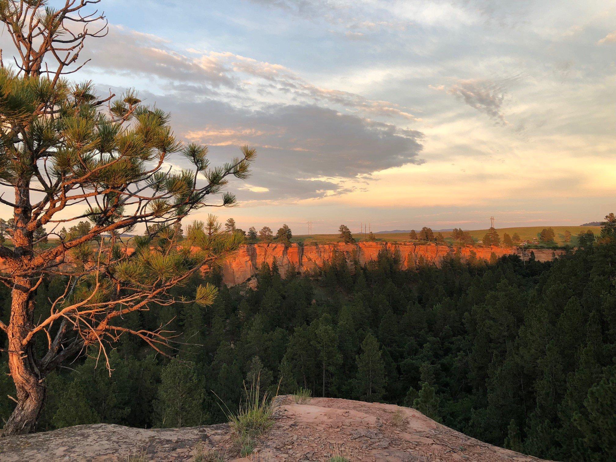
Moorcroft, located in the northeastern region of Wyoming, is a small town that serves as a gateway to the scenic beauty of the Black Hills and the vast expanses of the Thunder Basin National Grassland. Known for its rich history tied to the railroad and ranching industries, Moorcroft offers a glimpse into the rugged and resilient spirit of the American West. The town's history is preserved and celebrated at the West Texas Trail Museum, where visitors can explore exhibits detailing the area's pioneering past, including the significance of the Texas Trail and the development of the railroad. This museum is one of the town's key attractions, providing educational insights into the lifestyle and challenges faced by early settlers.
Another notable spot in Moorcroft is the nearby Keyhole State Park, a popular destination for outdoor enthusiasts. The park offers a variety of recreational activities, including boating, fishing, and camping, set against the backdrop of the picturesque Keyhole Reservoir. This natural haven is perfect for those looking to immerse themselves in Wyoming's great outdoors. While Moorcroft may be small, its charm lies in its rich historical context and its role as a portal to some of the state's most stunning natural landscapes, making it a worthwhile stop for travelers exploring the region.
Nearby cities include: Pine Haven, WY, Upton, WY, Gillette, WY, Sundance, WY, Osage, WY, Hulett, WY, Wright, WY, Newcastle, WY, Beulah, WY, Spearfish, SD.
Places in Moorcroft
Dine and drink
Eat and drink your way through town.
Can't-miss activities
Culture, natural beauty, and plain old fun.
Places to stay
Hang your (vacation) hat in a place that’s just your style.
Advertisement


