Grantsville, WV
Advertisement
Grantsville, WV Map
Grantsville is a US city in Calhoun County in the state of West Virginia. Located at the longitude and latitude of -81.095000, 38.923056 and situated at an elevation of 217 meters. In the 2020 United States Census, Grantsville, WV had a population of 494 people. Grantsville is in the Eastern Standard Time timezone at Coordinated Universal Time (UTC) -5. Find directions to Grantsville, WV, browse local businesses, landmarks, get current traffic estimates, road conditions, and more.
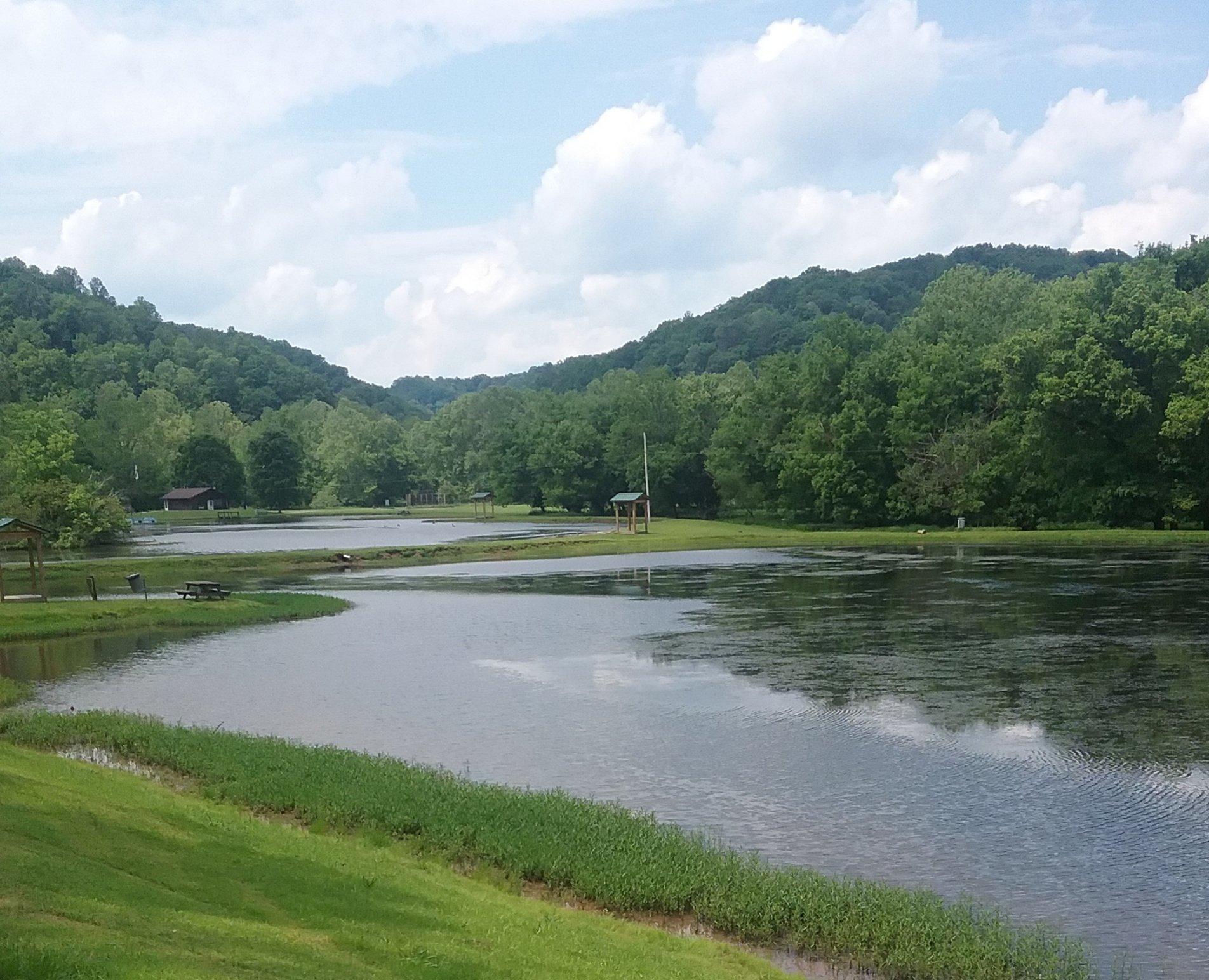
Grantsville, located in the heart of West Virginia, is a small town known for its charming rural atmosphere and rich history. The town's origins date back to the early 19th century, and it has maintained a quaint, small-town feel that attracts visitors looking for a peaceful getaway. The town is perhaps most famous for its close proximity to the Little Kanawha River, which provides opportunities for fishing, kayaking, and enjoying the scenic beauty of the area. History enthusiasts will appreciate the local heritage reflected in the architecture and stories passed down through generations.
A popular spot in Grantsville is the Calhoun County Park, which offers a range of outdoor activities including hiking, picnicking, and stargazing, with its vast open skies providing an excellent backdrop for amateur astronomers. The park is also home to several community events throughout the year, making it a hub of local culture and activity. Additionally, visitors might find interest in exploring the small local shops and eateries that offer a taste of regional flavors and crafts. Grantsville's blend of natural beauty and historical charm makes it a unique destination for those seeking a slice of West Virginia's past and present.
Nearby cities include: Glenville, WV, Spencer, WV, Auburn, WV, Reedy, WV, Sand Fork, WV, Elizabeth, WV, Pullman, WV, Harrisville, WV, Cairo, WV, Ellenboro, WV.
Places in Grantsville
Dine and drink
Eat and drink your way through town.
Can't-miss activities
Culture, natural beauty, and plain old fun.
Places to stay
Hang your (vacation) hat in a place that’s just your style.
Advertisement


