


Craigsville, WV
Advertisement
Craigsville, WV Map
Craigsville is a US city in Nicholas County in the state of West Virginia. Located at the longitude and latitude of -80.642778, 38.333333 and situated at an elevation of 705 meters. In the 2020 United States Census, Craigsville, WV had a population of 2,173 people. Craigsville is in the Eastern Standard Time timezone at Coordinated Universal Time (UTC) -5. Find directions to Craigsville, WV, browse local businesses, landmarks, get current traffic estimates, road conditions, and more.
Craigsville, West Virginia, is a small town that embodies the quintessential charm of rural America. Known primarily for its scenic beauty and tranquil environment, Craigsville serves as a gateway to the natural splendor of the Appalachian region. The town is nestled amidst lush green landscapes and rolling hills, making it an appealing destination for those seeking a peaceful retreat from the hustle and bustle of city life. Its proximity to the Gauley River provides opportunities for outdoor activities such as fishing, kayaking, and hiking, appealing to nature enthusiasts and adventure seekers alike.
One of the notable landmarks in Craigsville is the Craigsville Public Library, which acts not only as a repository of books but also as a community hub where events and gatherings are regularly held. The town also has a rich history tied to the coal mining industry, which played a significant role in its development. Visitors can explore local historical sites that offer insights into the region's past and its evolution over the years. For those interested in local culture, the annual Craigsville Fall Festival is a highlight, featuring local crafts, food, and entertainment, showcasing the town's community spirit and heritage.
Nearby cities include: Camden-on-Gauley, WV, Tioga, WV, Cowen, WV, Nettie, WV, Fenwick, WV, Richwood, WV, Summersville, WV, Birch River, WV, Webster Springs, WV, Quinwood, WV.
Places in Craigsville
Dine and drink
Eat and drink your way through town.


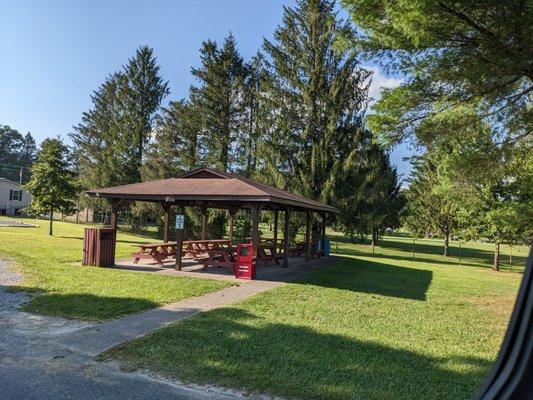
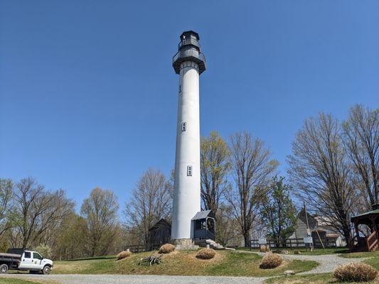
Can't-miss activities
Culture, natural beauty, and plain old fun.


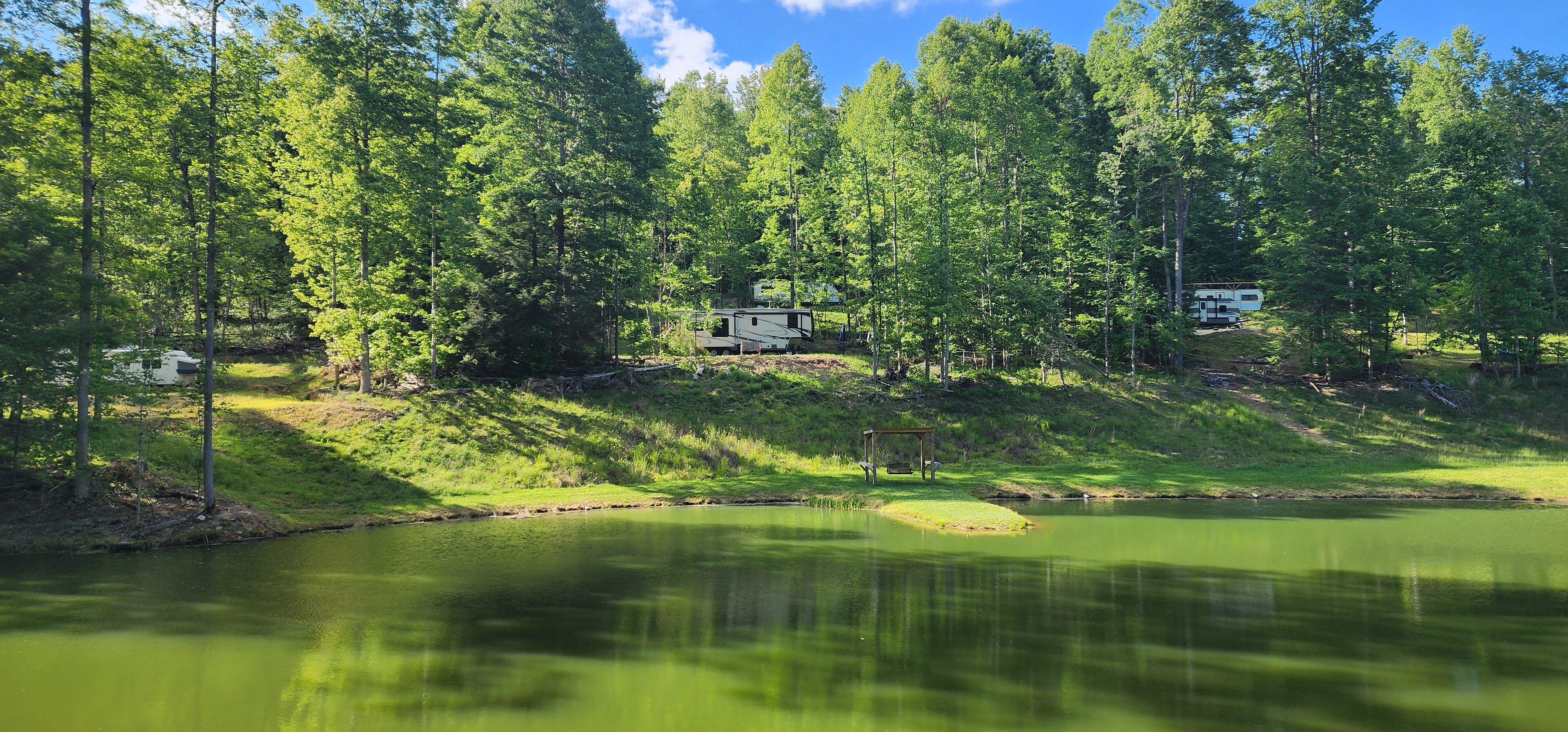
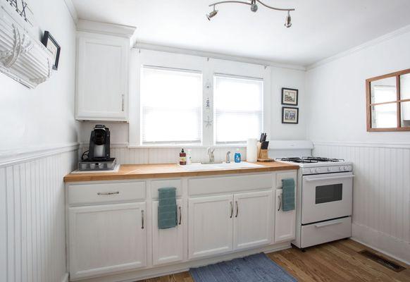
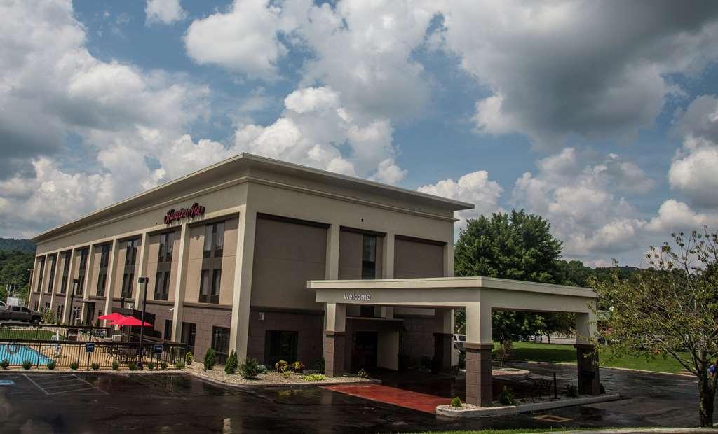
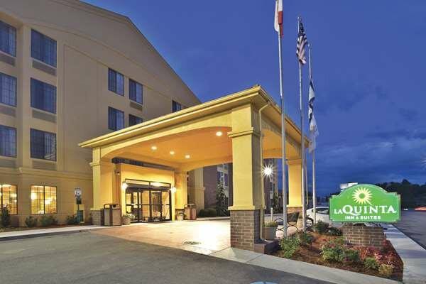
Places to stay
Hang your (vacation) hat in a place that’s just your style.
Advertisement