


How, WI
Advertisement
How, WI Map
How is a US city in Oconto County in the state of Wisconsin. Located at the longitude and latitude of -88.427222, 44.999444 and situated at an elevation of 256 meters. In the 2020 United States Census, How, WI had a population of 527 people. How is in the Central Standard Time timezone at Coordinated Universal Time (UTC) -6. Find directions to How, WI, browse local businesses, landmarks, get current traffic estimates, road conditions, and more.
How, situated in the state of Wisconsin, is a small city that embodies the quintessential charm of the Midwest. Known for its tight-knit community and scenic surroundings, How offers visitors a glimpse into rural American life. The city is often celebrated for its local festivals and agricultural fairs, which highlight the area's farming heritage and community spirit. Additionally, How is home to several historic sites that reflect its storied past, including well-preserved buildings that date back to its early settlement days.
Visitors to How can enjoy a variety of attractions, from exploring the local parks to visiting the charming downtown area, where quaint shops and eateries offer a taste of local culture. Outdoor enthusiasts can take advantage of the nearby trails and natural landscapes, perfect for hiking or a leisurely stroll. How's welcoming atmosphere and cultural offerings make it a noteworthy stop for those looking to experience the heart of Wisconsin.
Nearby cities include: Suring, WI, Breed, WI, Maple Valley, WI, Bagley, WI, Underhill, WI, Gillett, WI, Legend Lake, WI, Mountain, WI, Menominee, WI, Spruce, WI.
Places in How
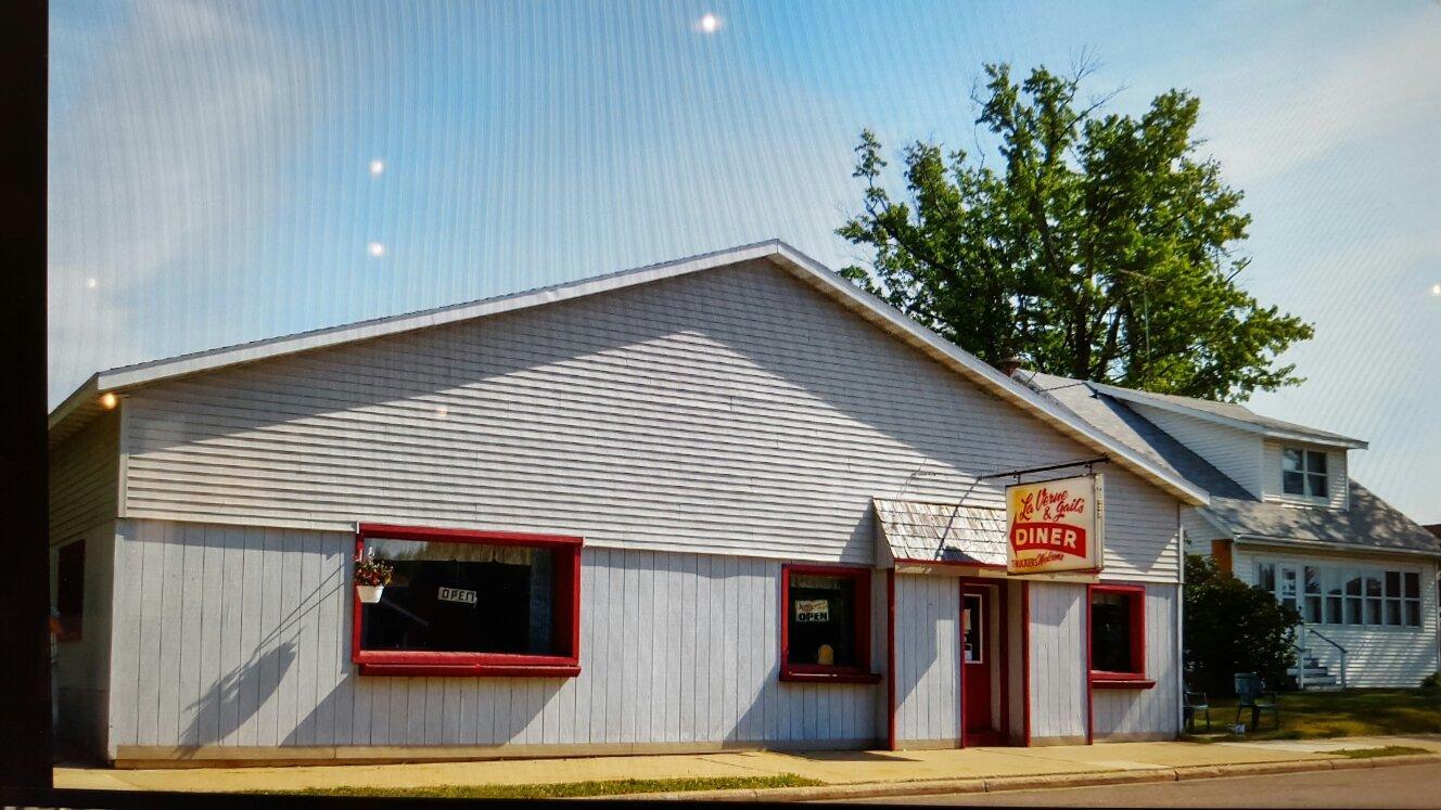
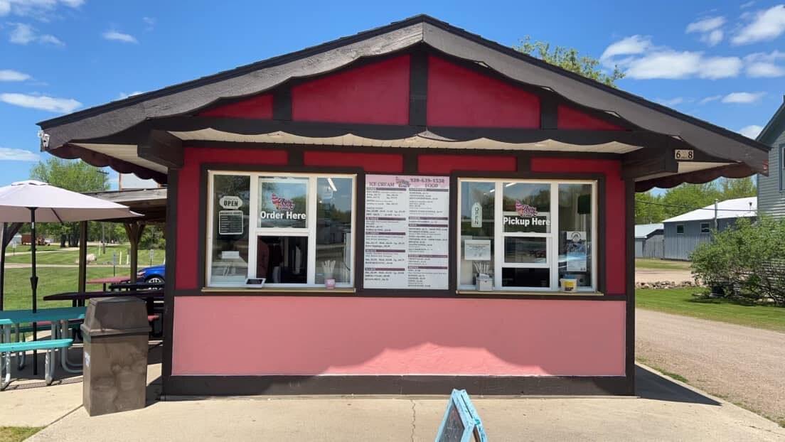
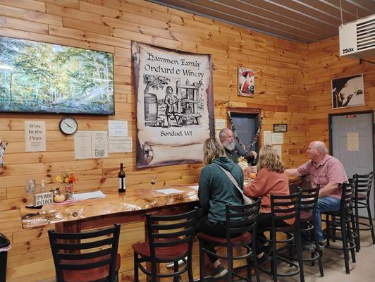
Dine and drink
Eat and drink your way through town.

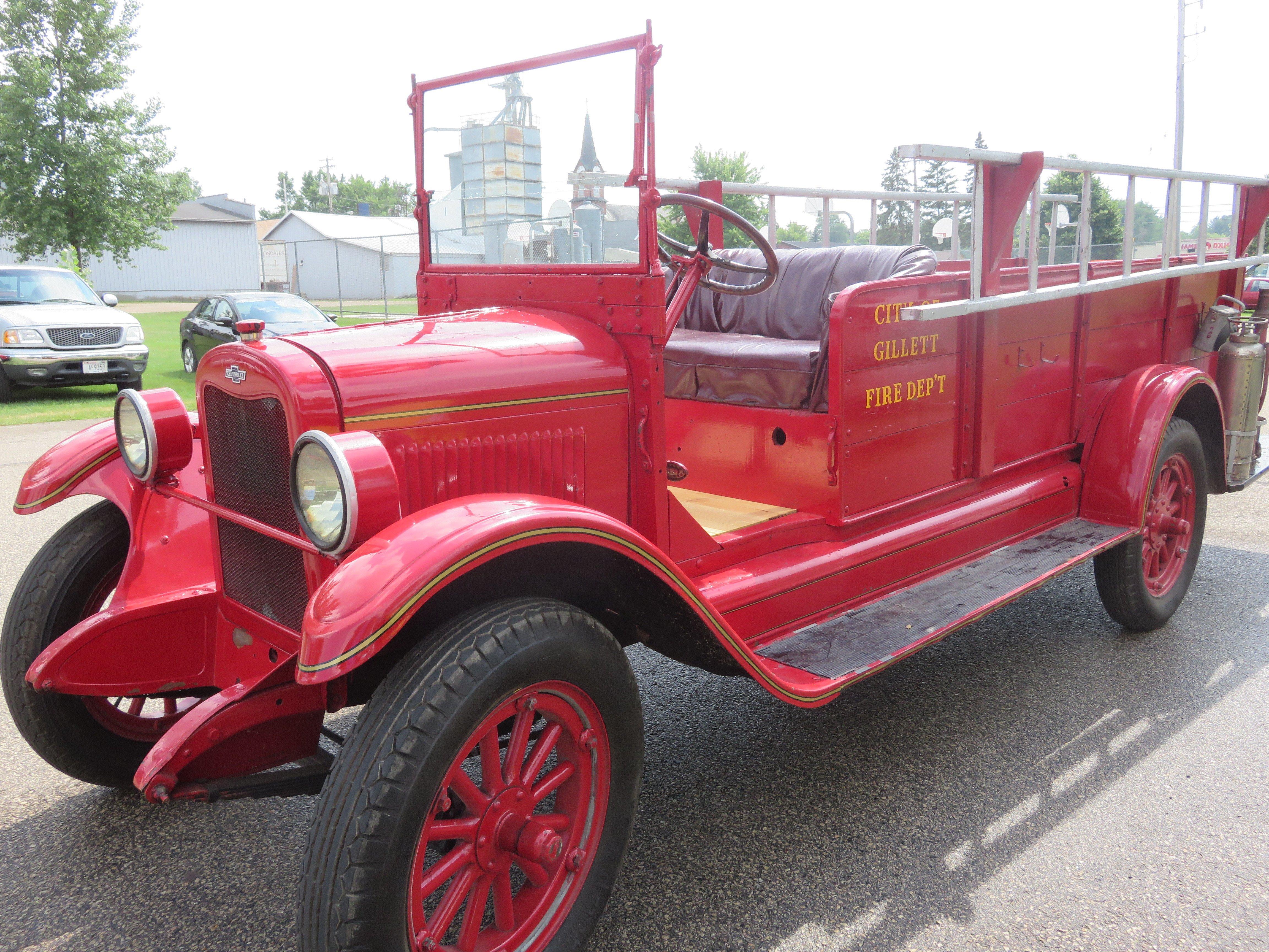
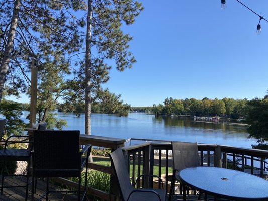
Can't-miss activities
Culture, natural beauty, and plain old fun.
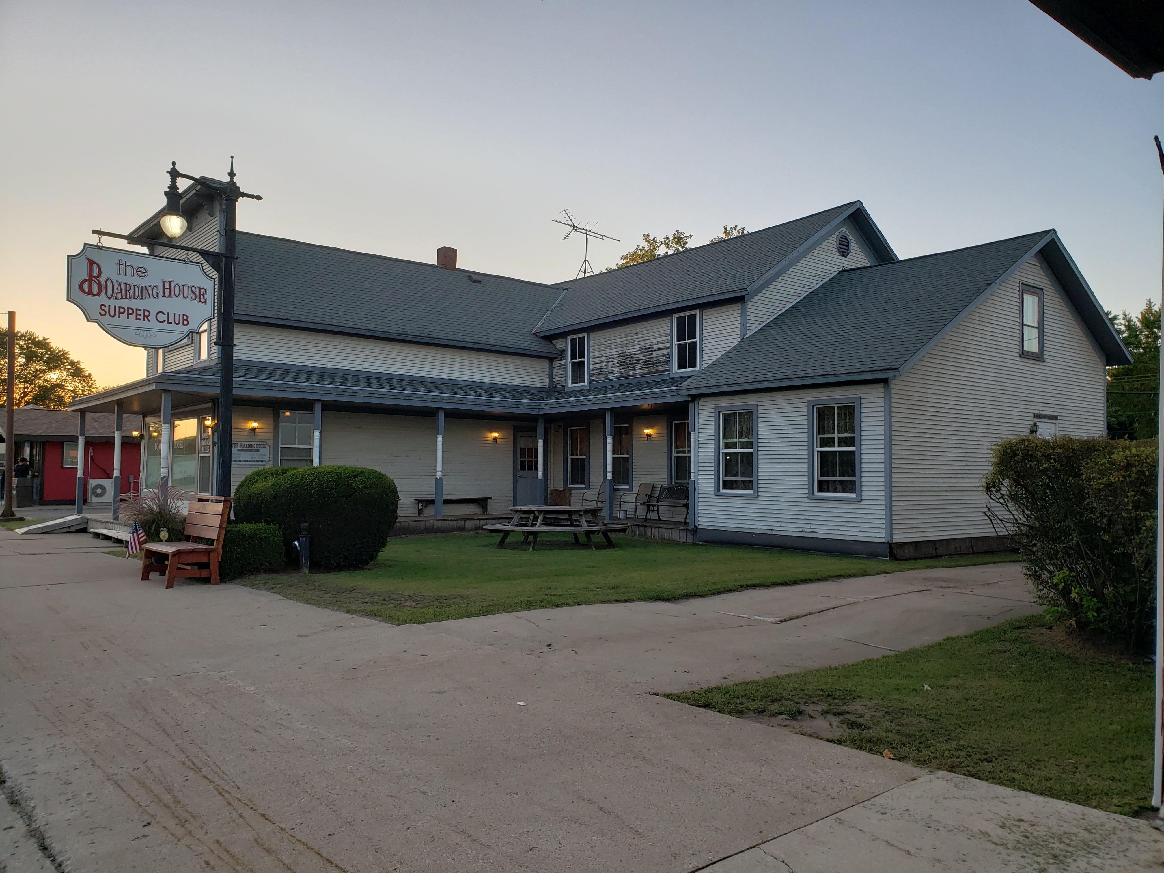
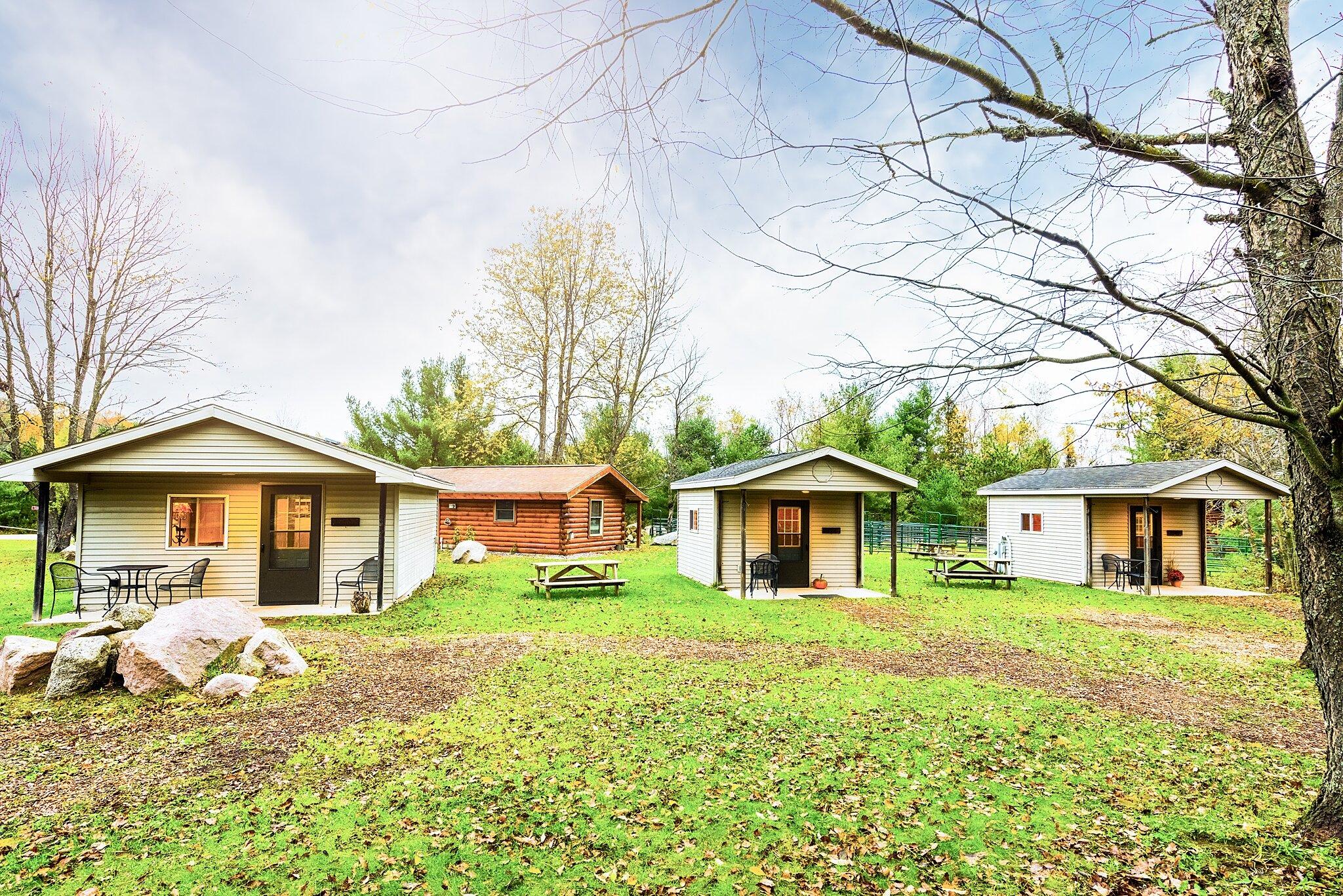
Places to stay
Hang your (vacation) hat in a place that’s just your style.


Advertisement