Cato, WI
Advertisement
Cato, WI Map
Cato is a US city in Manitowoc County in the state of Wisconsin. Located at the longitude and latitude of -87.862110, 44.110230 and situated at an elevation of 254 meters. In the 2020 United States Census, Cato, WI had a population of 1,621 people. Cato is in the Central Standard Time timezone at Coordinated Universal Time (UTC) -6. Find directions to Cato, WI, browse local businesses, landmarks, get current traffic estimates, road conditions, and more.
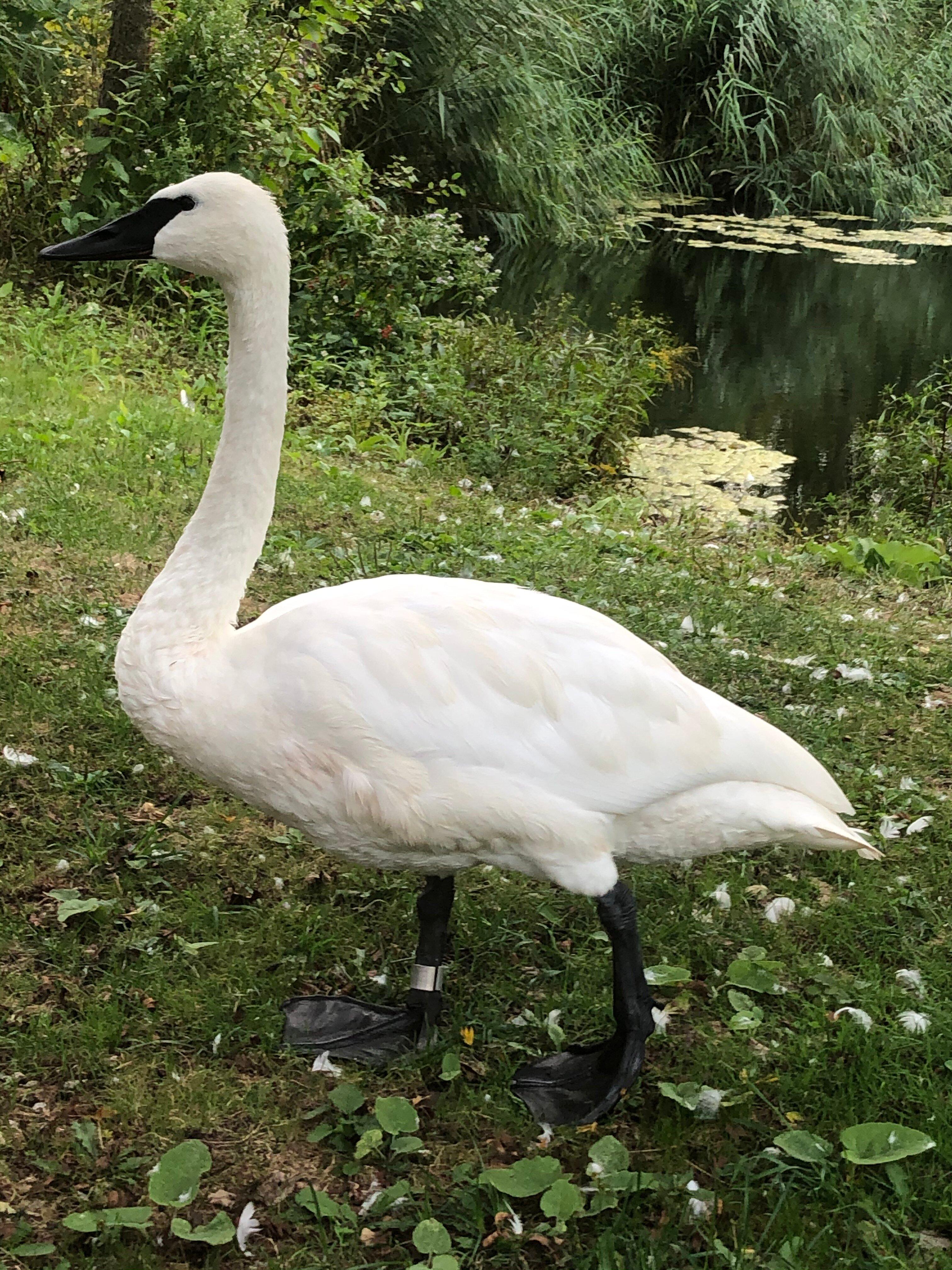
Cato, located in Wisconsin, is a small town that exudes a quintessential rural charm, offering a glimpse into America's heartland. Known for its serene landscapes and agricultural heritage, Cato is a place where one can experience the simplicity and beauty of country life. The town is home to several family-run farms and local businesses that highlight the community's deep-rooted connections to the land. These farms often open their doors to visitors, providing a firsthand look at traditional farming practices and the opportunity to purchase locally produced goods.
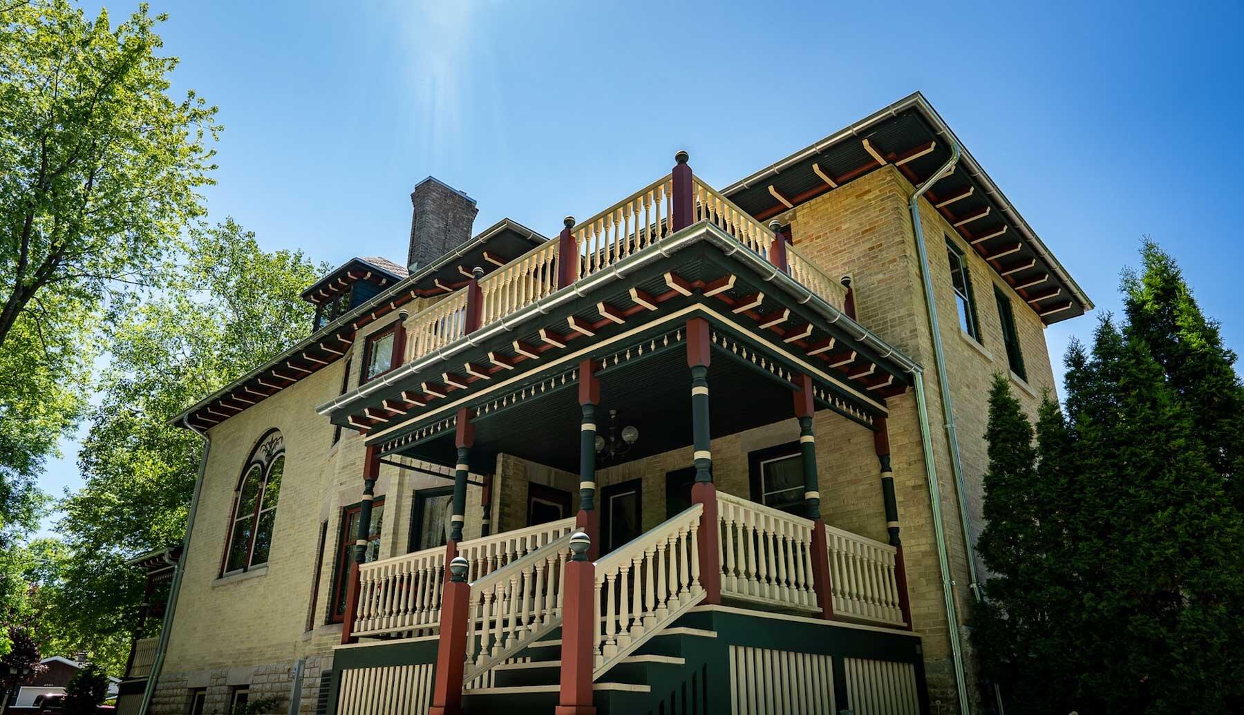
One of the popular places within Cato is its historic sites, which reflect the town's rich past. The area's history is tied to its early settlers and the development of agriculture in Wisconsin. Visitors can explore local landmarks that tell the story of Cato's evolution over the years. Additionally, the town's natural surroundings offer outdoor enthusiasts the chance to enjoy hiking, bird watching, and other recreational activities. Cato's welcoming atmosphere and picturesque environment make it a charming destination for those seeking a peaceful retreat away from the hustle and bustle of city life.
Nearby cities include: Whitelaw, WI, Valders, WI, Manitowoc Rapids, WI, Reedsville, WI, Liberty, WI, Rockland, WI, Collins, WI, Kellnersville, WI, Newton, WI, Maple Grove, WI.
Places in Cato
Dine and drink
Eat and drink your way through town.
Can't-miss activities
Culture, natural beauty, and plain old fun.
Places to stay
Hang your (vacation) hat in a place that’s just your style.
Advertisement


