


Weyauwega, WI
Advertisement
Weyauwega, WI Map
Weyauwega is a US city in Waupaca County in the state of Wisconsin. Located at the longitude and latitude of -88.933056, 44.321667 and situated at an elevation of 242 meters. In the 2020 United States Census, Weyauwega, WI had a population of 1,796 people. Weyauwega is in the Central Standard Time timezone at Coordinated Universal Time (UTC) -6. Find directions to Weyauwega, WI, browse local businesses, landmarks, get current traffic estimates, road conditions, and more.
Weyauwega, a quaint city in Wisconsin, is known for its serene landscapes and small-town charm. The city is steeped in history, with its origins tracing back to the mid-19th century when it served as a vital hub for the lumber and railroad industries. Visitors can explore the rich history of the area at the Weyauwega Historical Society, which offers insights into the city's development and the impact of the railroad. This historical context is further reflected in the city's architecture and local lore, providing a glimpse into the past for history enthusiasts.
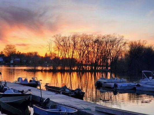
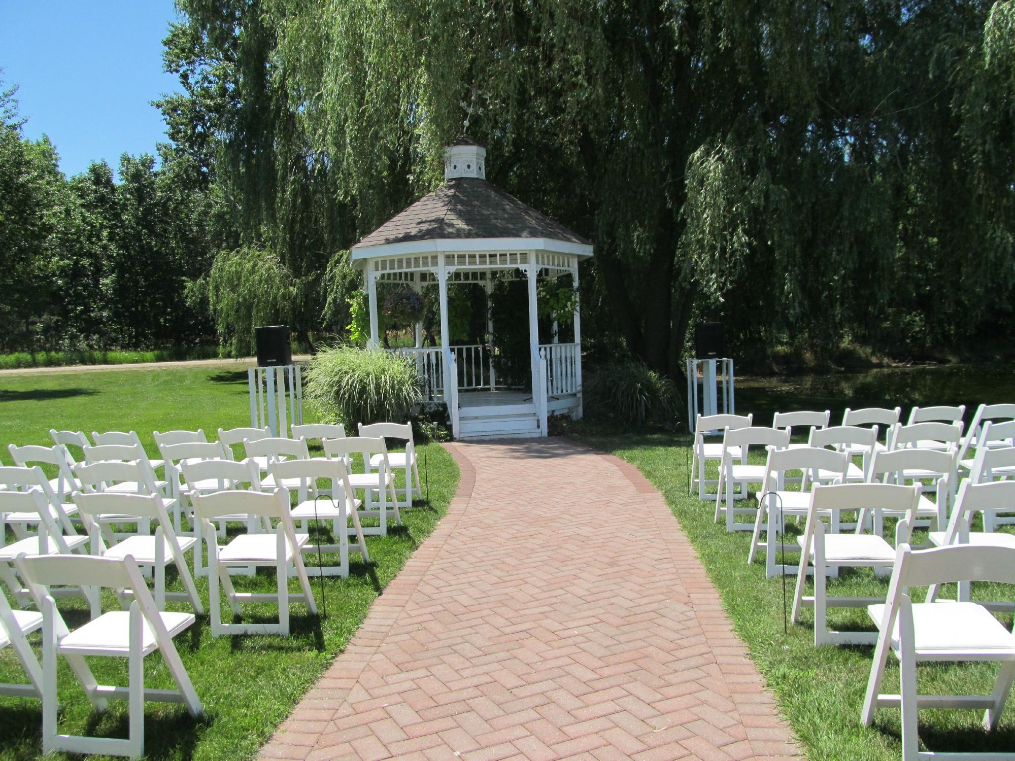
One of the highlights of Weyauwega is the scenic Weyauwega Lake, which attracts both locals and tourists for fishing, boating, and picnicking. The annual Horse and Buggy Days festival is a popular event, celebrating the city's heritage with parades, crafts, and traditional foods. Nature lovers can also explore the nearby hiking trails and enjoy birdwatching opportunities in the surrounding areas. With its blend of history, natural beauty, and community-driven events, Weyauwega offers a peaceful retreat for those looking to experience the essence of small-town Wisconsin.
Nearby cities include: Royalton, WI, Fremont, WI, Lind, WI, Mukwa, WI, Little Wolf, WI, Waupaca, WI, Bloomfield, WI, Manawa, WI, Ogdensburg, WI, New London, WI.
Places in Weyauwega
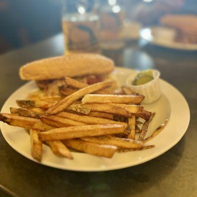
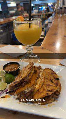
Dine and drink
Eat and drink your way through town.
Can't-miss activities
Culture, natural beauty, and plain old fun.

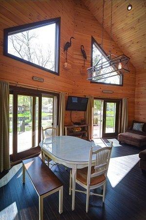
Places to stay
Hang your (vacation) hat in a place that’s just your style.

Advertisement