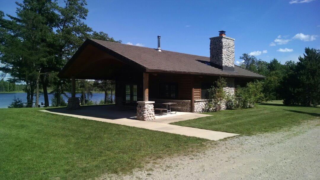
Wausaukee, WI
Advertisement
Wausaukee, WI Map
Wausaukee is a US city in Marinette County in the state of Wisconsin. Located at the longitude and latitude of -87.916700, 45.400000 and situated at an elevation of 236 meters. In the 2020 United States Census, Wausaukee, WI had a population of 596 people. Wausaukee is in the Central Standard Time timezone at Coordinated Universal Time (UTC) -6. Find directions to Wausaukee, WI, browse local businesses, landmarks, get current traffic estimates, road conditions, and more.
Wausaukee, located in the state of Wisconsin, is a small village known for its picturesque natural surroundings and rich history. The area is a haven for outdoor enthusiasts, offering numerous opportunities for activities such as hiking, fishing, and camping. The nearby Nicolet National Forest provides a stunning backdrop of lush greenery and wildlife, making it a popular spot for nature lovers. Wausaukee is also recognized for its friendly community atmosphere, where visitors can experience a slice of small-town Midwestern life.
Historically, Wausaukee has its roots in the lumber industry, which played a significant role in its early development. The village's name is derived from a Native American word meaning "among the rolling hills," indicative of the scenic landscape that characterizes the area. Visitors can explore local history at the Wausaukee Historical Society Museum, which offers insights into the village's past through various exhibits and artifacts. Additionally, the annual Wausaukee Fall Festival is a highlight for both locals and tourists, featuring crafts, food, and entertainment that celebrate the community's heritage and culture.
Nearby cities include: Middle Inlet, WI, Amberg, WI, Lake, MI, Wagner, WI, Beecher, WI, Holmes, MI, Crivitz, WI, Athelstane, WI, Stephenson, WI, Lake, WI.
Places in Wausaukee
Dine and drink
Eat and drink your way through town.
Can't-miss activities
Culture, natural beauty, and plain old fun.
Places to stay
Hang your (vacation) hat in a place that’s just your style.
Advertisement


