Rosendale, WI
Advertisement
Rosendale, WI Map
Rosendale is a US city in Fond du Lac County in the state of Wisconsin. Located at the longitude and latitude of -88.710300, 43.858900 and situated at an elevation of 266 meters. In the 2020 United States Census, Rosendale, WI had a population of 1,039 people. Rosendale is in the Central Standard Time timezone at Coordinated Universal Time (UTC) -6. Find directions to Rosendale, WI, browse local businesses, landmarks, get current traffic estimates, road conditions, and more.
Rosendale, located in the state of Wisconsin, is primarily known for its reputation as a speed trap, which has become somewhat of a local legend. This small town has embraced its notoriety with humor, even selling merchandise that plays on its reputation. Beyond the speed limit signs, Rosendale offers a quaint rural charm and is wrapped in the serene beauty characteristic of the Wisconsin landscape.
One of the more notable spots in Rosendale is the Rosendale Historical Society Museum, where visitors can explore artifacts and exhibits that tell the story of the town's past. The town also hosts various community events throughout the year, which are popular among locals and visitors alike. The nearby wildlife areas provide ample opportunities for outdoor activities such as hiking and birdwatching, offering a peaceful retreat into nature. Overall, Rosendale is a place where visitors can enjoy small-town hospitality and the simplicity of rural life.
Nearby cities include: Eldorado, WI, Ripon, WI, Springvale, WI, Nepeuskun, WI, Nekimi, WI, Metomen, WI, Lamartine, WI, Brandon, WI, Waukau, WI, Van Dyne, WI.
Places in Rosendale
Dine and drink
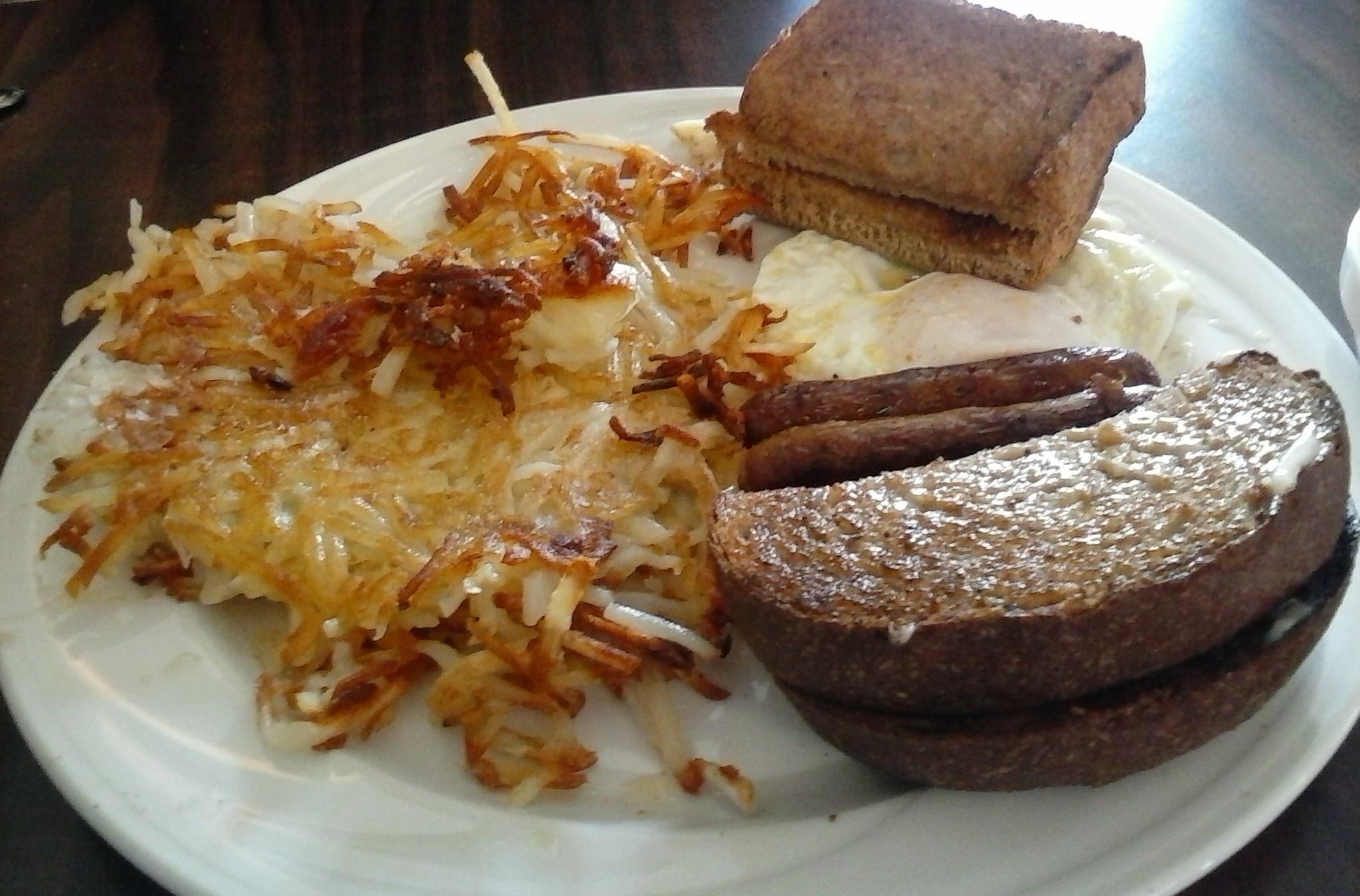
Eat and drink your way through town.
Can't-miss activities
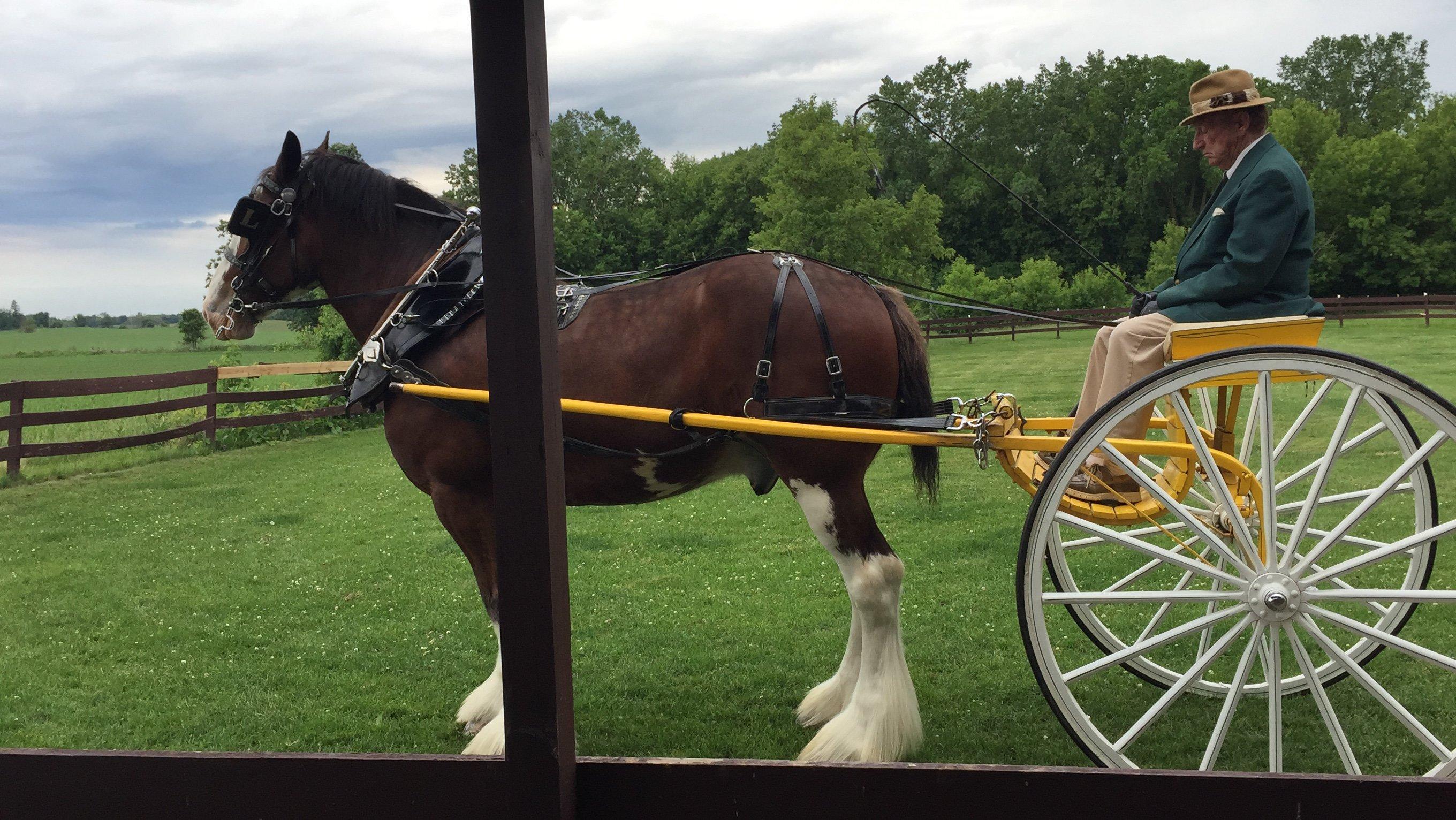
Culture, natural beauty, and plain old fun.
Places to stay
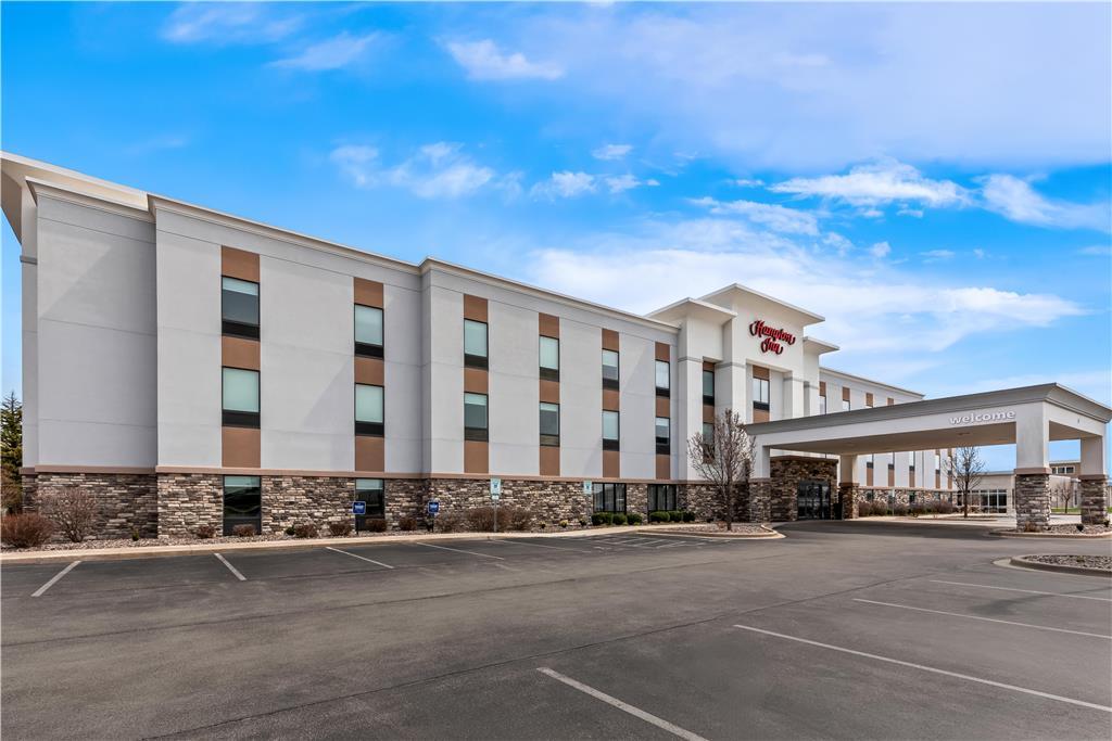
Hang your (vacation) hat in a place that’s just your style.
Advertisement


