Cedarburg, WI
Advertisement
Cedarburg, WI Map
Cedarburg is a US city in Ozaukee County in the state of Wisconsin. Located at the longitude and latitude of -87.987500, 43.288333 and situated at an elevation of 239 meters. In the 2020 United States Census, Cedarburg, WI had a population of 12,121 people. Cedarburg is in the Central Standard Time timezone at Coordinated Universal Time (UTC) -6. Find directions to Cedarburg, WI, browse local businesses, landmarks, get current traffic estimates, road conditions, and more.
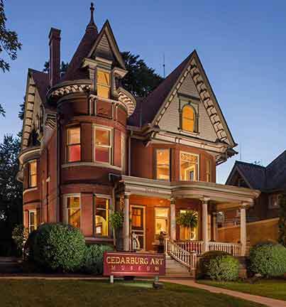
Cedarburg, located in Wisconsin, is renowned for its well-preserved historic charm, offering a picturesque glimpse into a bygone era. The city's downtown area is a key attraction, featuring a collection of limestone and cream city brick buildings that date back to the mid-19th century. Cedarburg is particularly known for the Cedarburg Cultural Center, which hosts a variety of art exhibits, performances, and community events. The city also boasts the Cedar Creek Settlement, a former woolen mill transformed into a vibrant shopping and dining district, where visitors can explore unique boutiques, galleries, and enjoy local cuisine.
The city's rich history is further highlighted by landmarks like the Cedarburg Mill and the Washington Avenue Historic District, both of which showcase the architectural heritage of the region. Cedarburg is also famous for its festivals, with the annual Strawberry Festival and Wine & Harvest Festival drawing crowds from across the region. These events celebrate the local culture and community spirit, featuring live music, artisan vendors, and seasonal treats. With its blend of historical ambiance, cultural offerings, and community events, Cedarburg provides a charming and enriching experience for visitors.
Nearby cities include: Grafton, WI, Thiensville, WI, Mequon, WI, Brown Deer, WI, Germantown, WI, Saukville, WI, Bayside, WI, River Hills, WI, Jackson, WI, Fox Point, WI.
Places in Cedarburg
Dine and drink
Eat and drink your way through town.
Can't-miss activities
Culture, natural beauty, and plain old fun.
Places to stay
Hang your (vacation) hat in a place that’s just your style.
Advertisement


