


Winooski, VT
Advertisement
Winooski, VT Map
Winooski is a US city in Chittenden County in the state of Vermont. Located at the longitude and latitude of -73.184252, 44.495083 and situated at an elevation of 54 meters. In the 2020 United States Census, Winooski, VT had a population of 7,997 people. Winooski is in the Eastern Standard Time timezone at Coordinated Universal Time (UTC) -5. Find directions to Winooski, VT, browse local businesses, landmarks, get current traffic estimates, road conditions, and more.
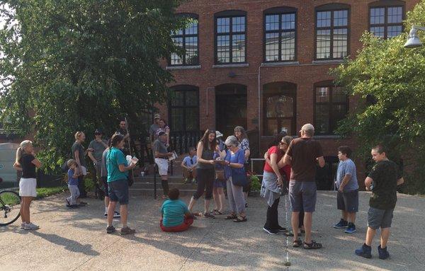
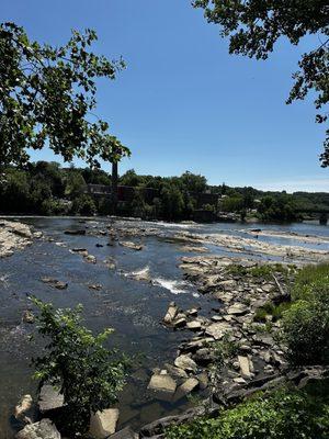
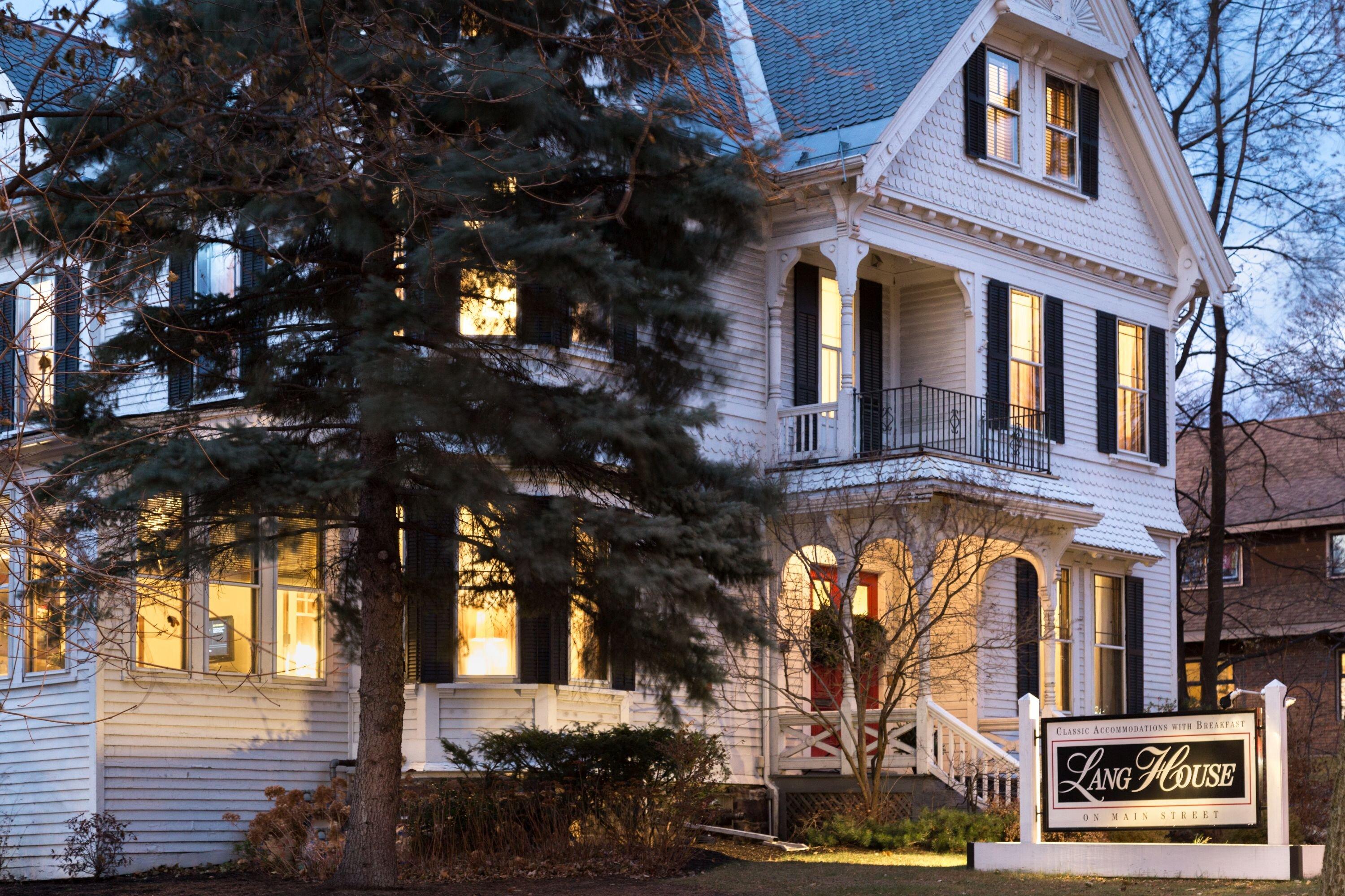
Winooski, Vermont, is a city that blends rich history with a vibrant, modern atmosphere. Known as the "Onion City" due to its name's Abenaki origin, Winooski has a storied history rooted in the milling industry that thrived along its riverbanks in the 19th century. The Winooski River, which winds through the city, was once the power source for textile mills, and today it provides a scenic backdrop for recreational activities. The city's revitalized downtown area is a hub of local culture, featuring a diverse array of restaurants, breweries, and shops that reflect the community's eclectic spirit.
One of Winooski's standout landmarks is the Winooski Falls Mill District, where remnants of the city's industrial past have been transformed into vibrant spaces for living, working, and entertainment. The Winooski Falls Park offers a picturesque spot for relaxation and picnicking, with views of the cascading river. In recent years, the city has also become known for its burgeoning food scene, with popular spots like Misery Loves Co. and Mule Bar drawing both locals and visitors. The Winooski Circle, a unique roundabout that connects the city's main thoroughfares, is a testament to the city's blend of historical charm and contemporary development.
Nearby cities include: South Burlington, VT, Burlington, VT, Essex Junction, VT, Colchester, VT, Williston, VT, Shelburne, VT, Milton, VT, Jericho, VT, Westford, VT, Richmond, VT.
Places in Winooski
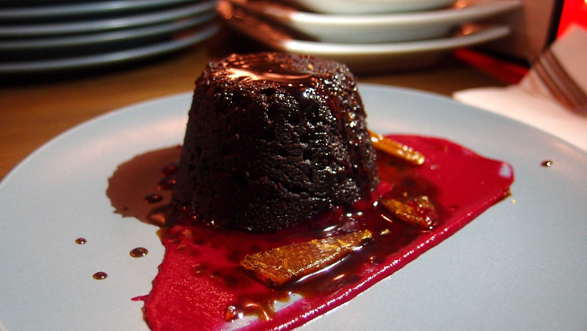
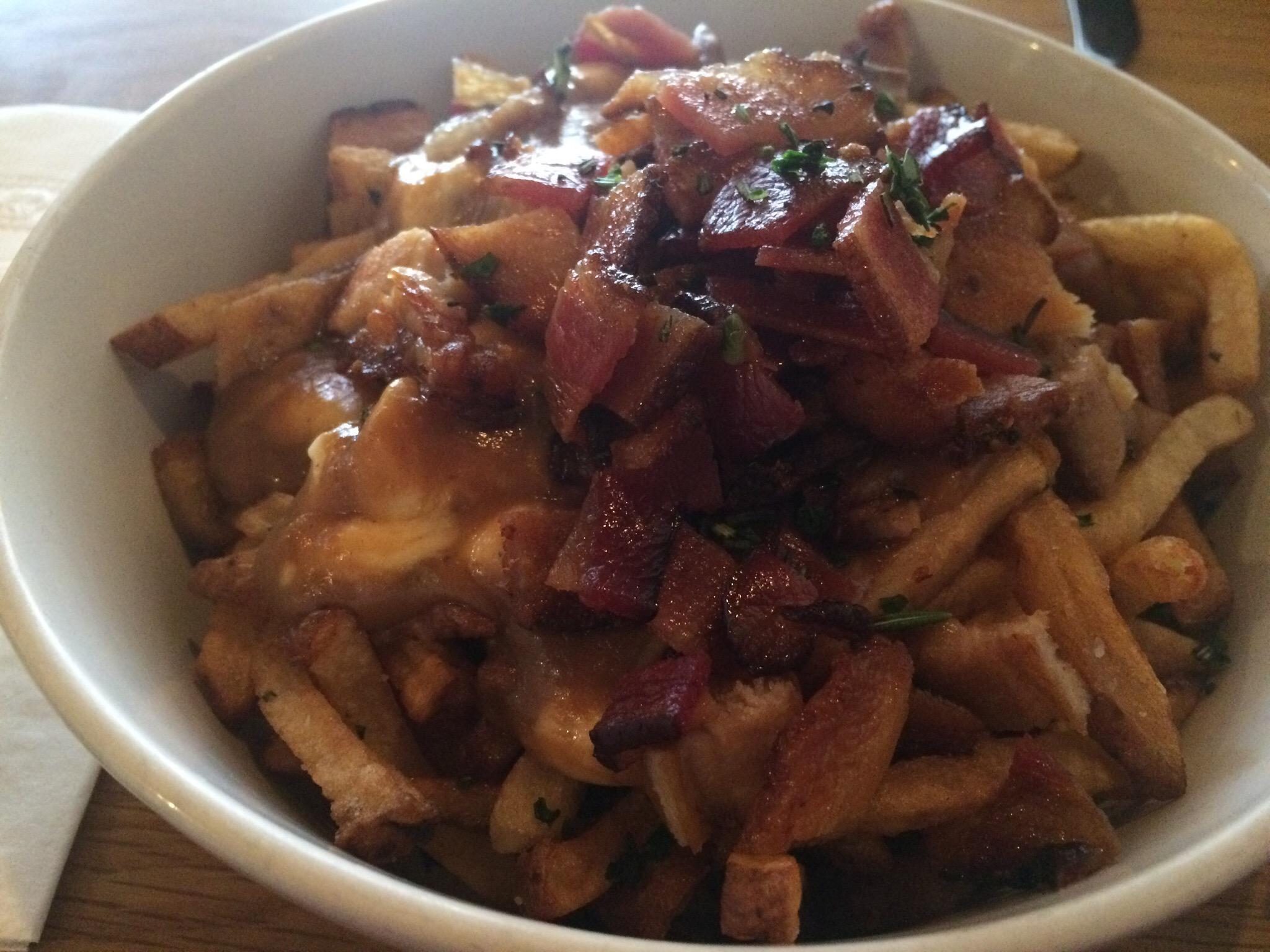
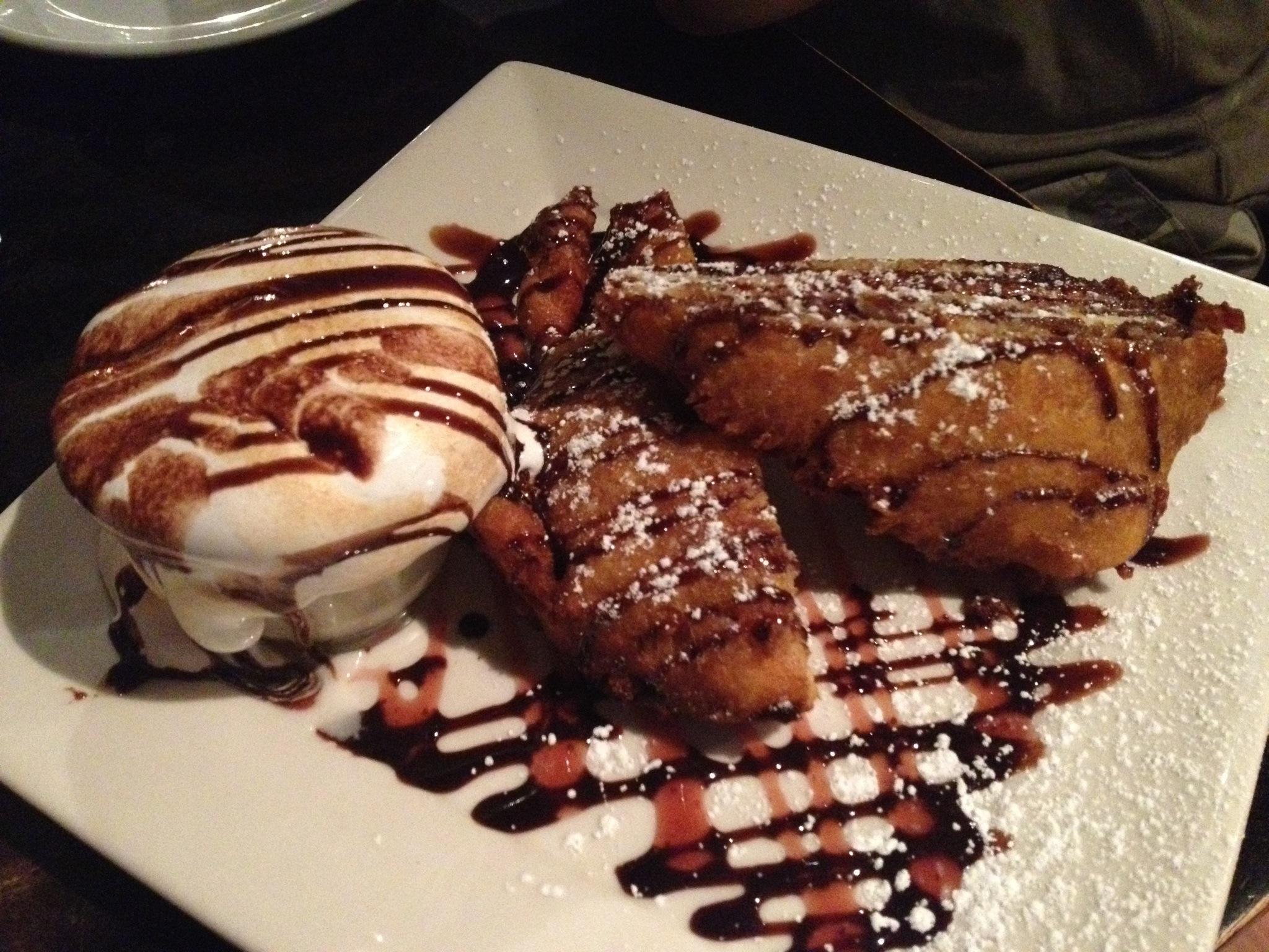
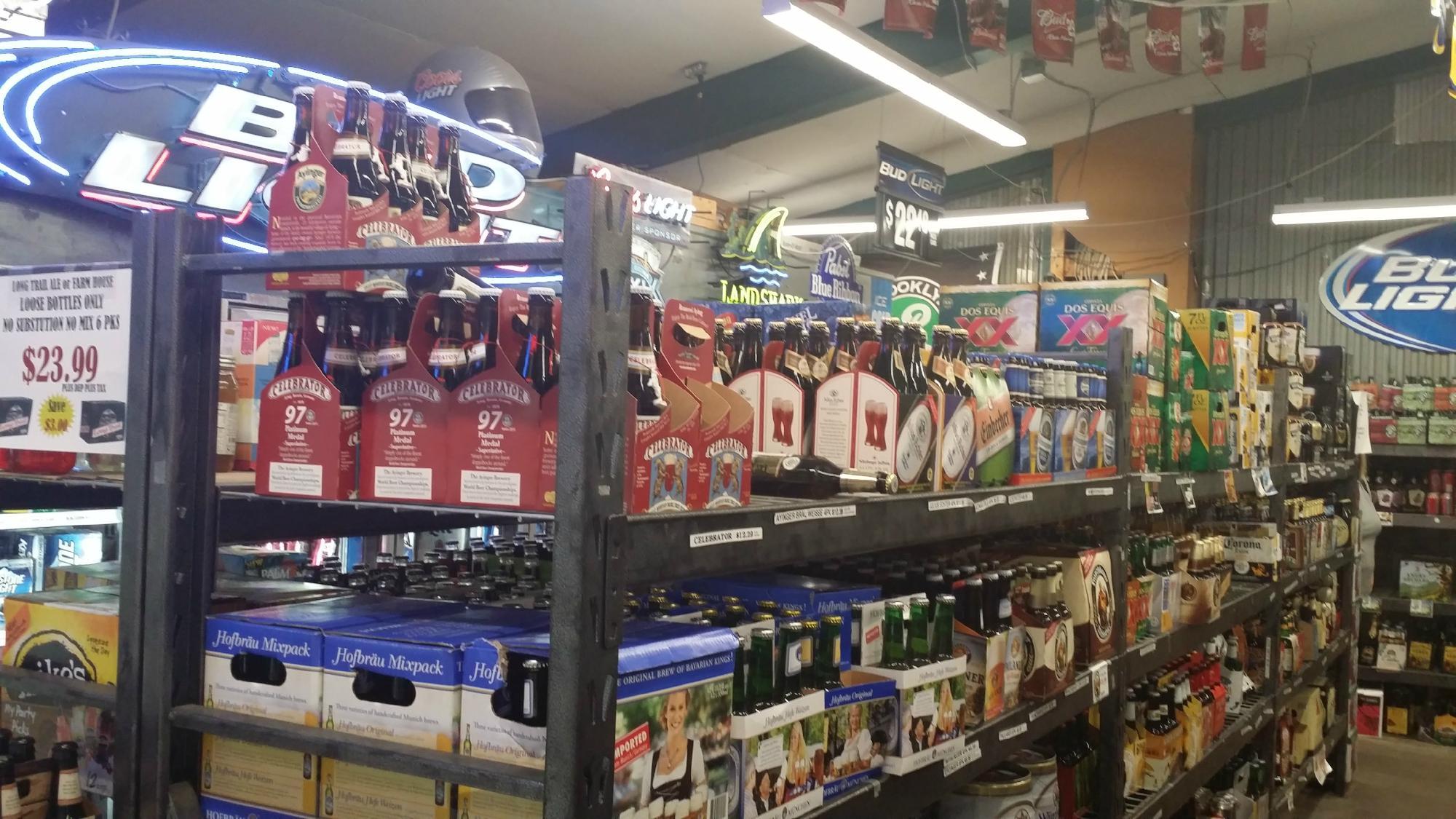
Dine and drink
Eat and drink your way through town.

Can't-miss activities
Culture, natural beauty, and plain old fun.
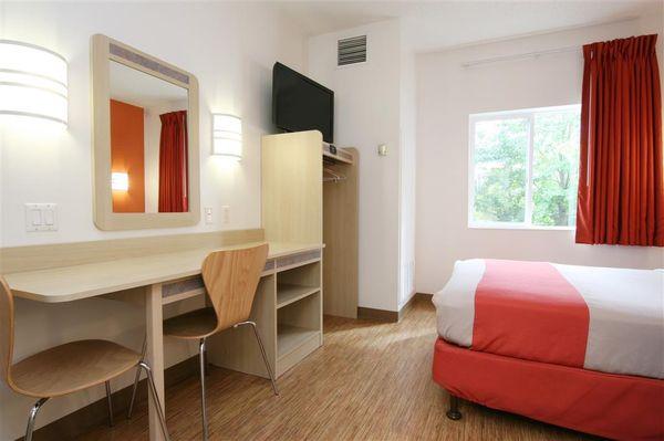
Places to stay
Hang your (vacation) hat in a place that’s just your style.


Advertisement