Rochester, VT
Advertisement
Rochester Map
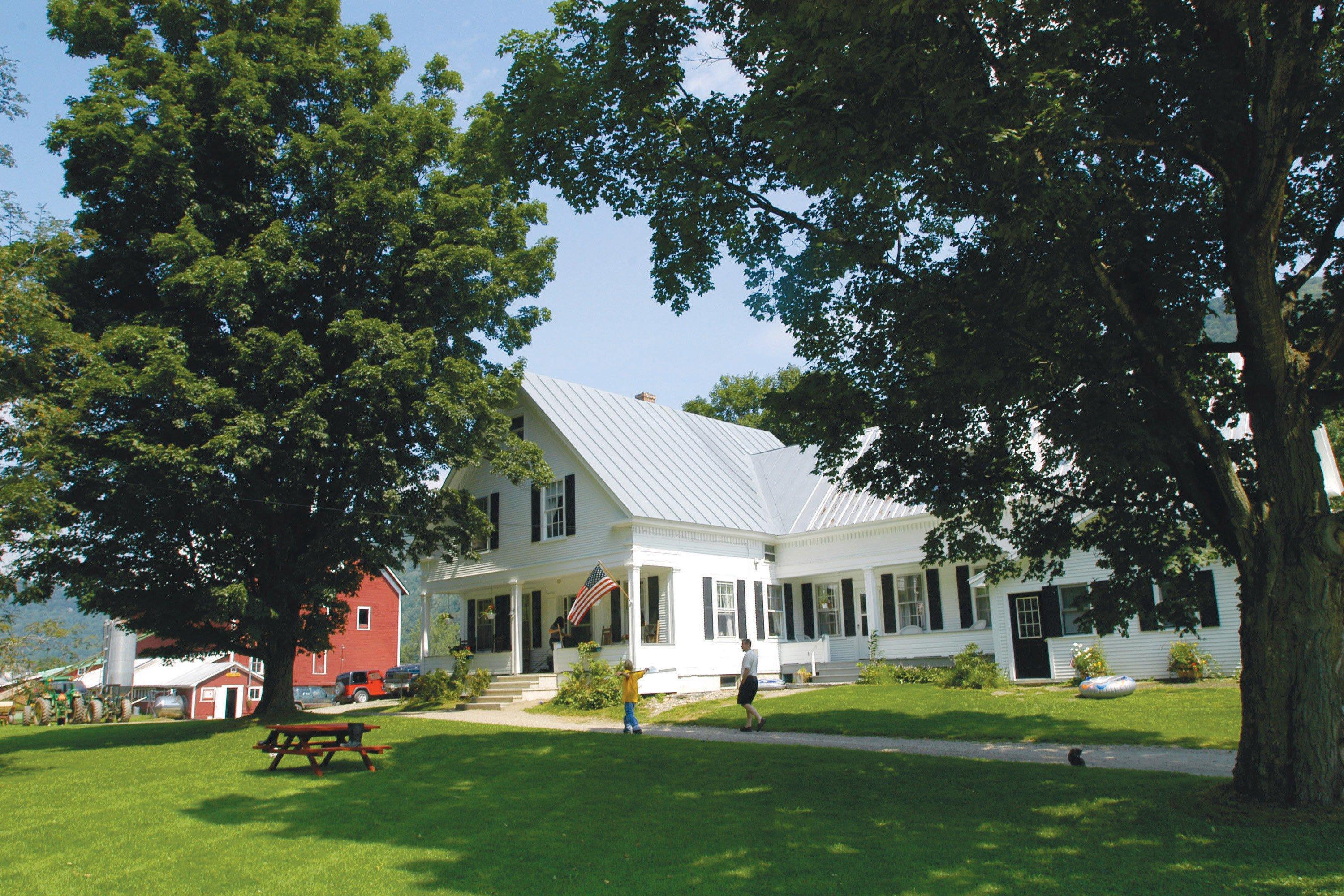
Rochester is a town in Windsor County, Vermont, United States. The population was 1,171 at the 2000 census. Rochester is home to the Quarry Hill Creative Center. Set on the edge of the Green Mountain National Forest, the town is a picturesque tourist destination.
Rochester was granted in 1780, chartered in 1781 to Dudley Chase, Asa Whitcomb and 63 others, then organized in 1788. It was first settled in the winter of 1781-1782 by David Currier and his family. Rochester's boundaries later expanded when the town of Philadelphia was divided up among its neighbors.
The surface of the town is mountainous and broken, but the intervales along the White River provided good farmland for agriculture. There were sites supplying water power for mills. By 1859, when the population was 1,493, industries included one gristmill, several sawmills, one tub factory, and a variety of mechanic shops. The White River Railroad from Bethel opened to Rochester in 1900, but was abandoned in 1933 during the Great Depression.
Nearby cities include South Royalton, Brandon, Pittsford, East Middlebury, Rutland.
Places in Rochester
Dine and drink
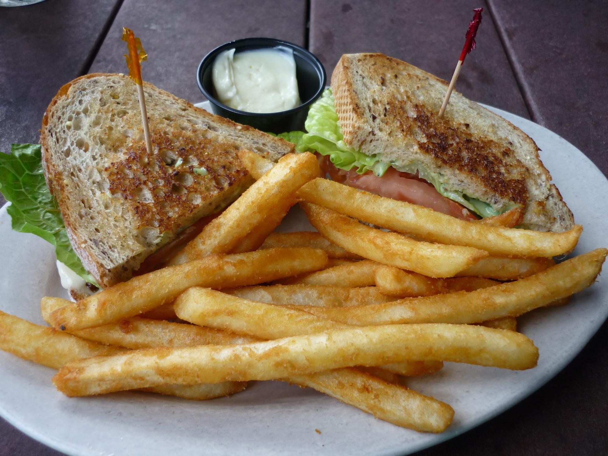
Eat and drink your way through town.
Can't-miss activities
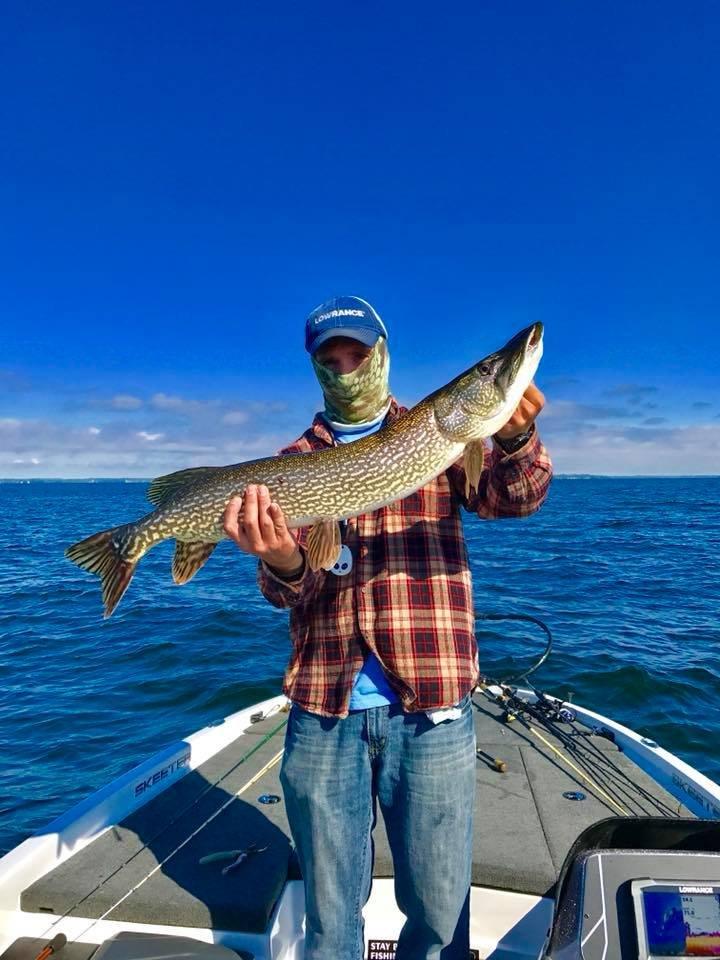
Culture, natural beauty, and plain old fun.
Places to stay
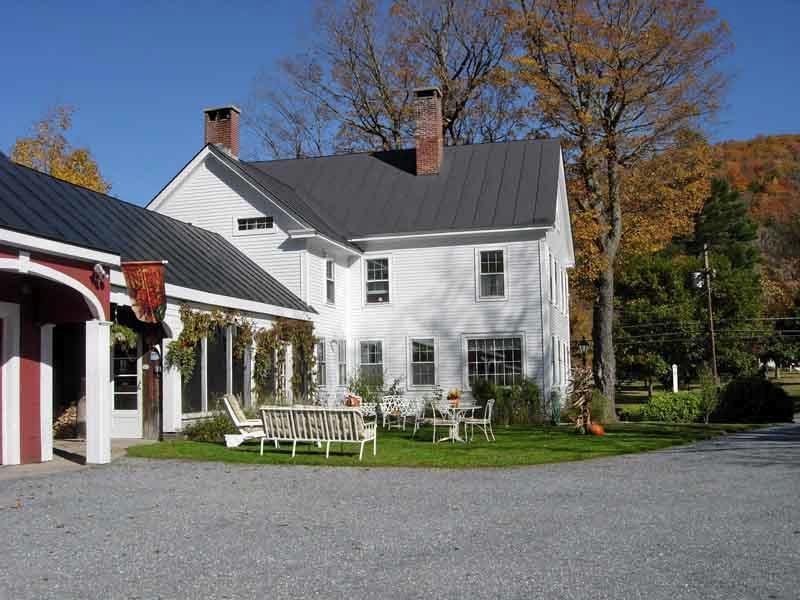
Hang your (vacation) hat in a place that’s just your style.
Advertisement


