Lyndonville, VT
Advertisement
Lyndonville, VT Map
Lyndonville is a US city in Caledonia County in the state of Vermont. Located at the longitude and latitude of -72.003150, 44.533670 and situated at an elevation of 220 meters. In the 2020 United States Census, Lyndonville, VT had a population of 1,136 people. Lyndonville is in the Eastern Standard Time timezone at Coordinated Universal Time (UTC) -5. Find directions to Lyndonville, VT, browse local businesses, landmarks, get current traffic estimates, road conditions, and more.
Lyndonville, located in the northeastern part of Vermont, is widely recognized for its charming small-town atmosphere and its proximity to the scenic landscapes of the Northeast Kingdom. The town is a gateway to outdoor adventures, with nearby attractions like the Kingdom Trails, which offer some of the best mountain biking trails in New England. Visitors and locals alike can enjoy the beautiful surroundings with activities such as hiking, skiing, and snowboarding at the nearby Burke Mountain. The town itself is known for its vibrant community events and a quaint downtown area that features a selection of local shops, eateries, and historic architecture.
Historically, Lyndonville has roots dating back to the 19th century, with its development closely tied to the railroad industry. The town's historical significance is preserved through several landmarks, including the Cobleigh Public Library and the Lyndon Institute, a historic educational institution. Additionally, the Fairbanks Museum & Planetarium in the nearby area offers a glimpse into the region's natural and cultural history, making it a popular stop for those interested in exploring the local heritage. Lyndonville's blend of historical charm and access to nature makes it a notable destination for those seeking a quintessential Vermont experience.
Nearby cities include: Lyndon, VT, East Burke, VT, Wheelock, VT, West Burke, VT, Victory, VT, Sutton, VT, Sheffield, VT, Stannard, VT, Danville, VT, Concord, VT.
Places in Lyndonville
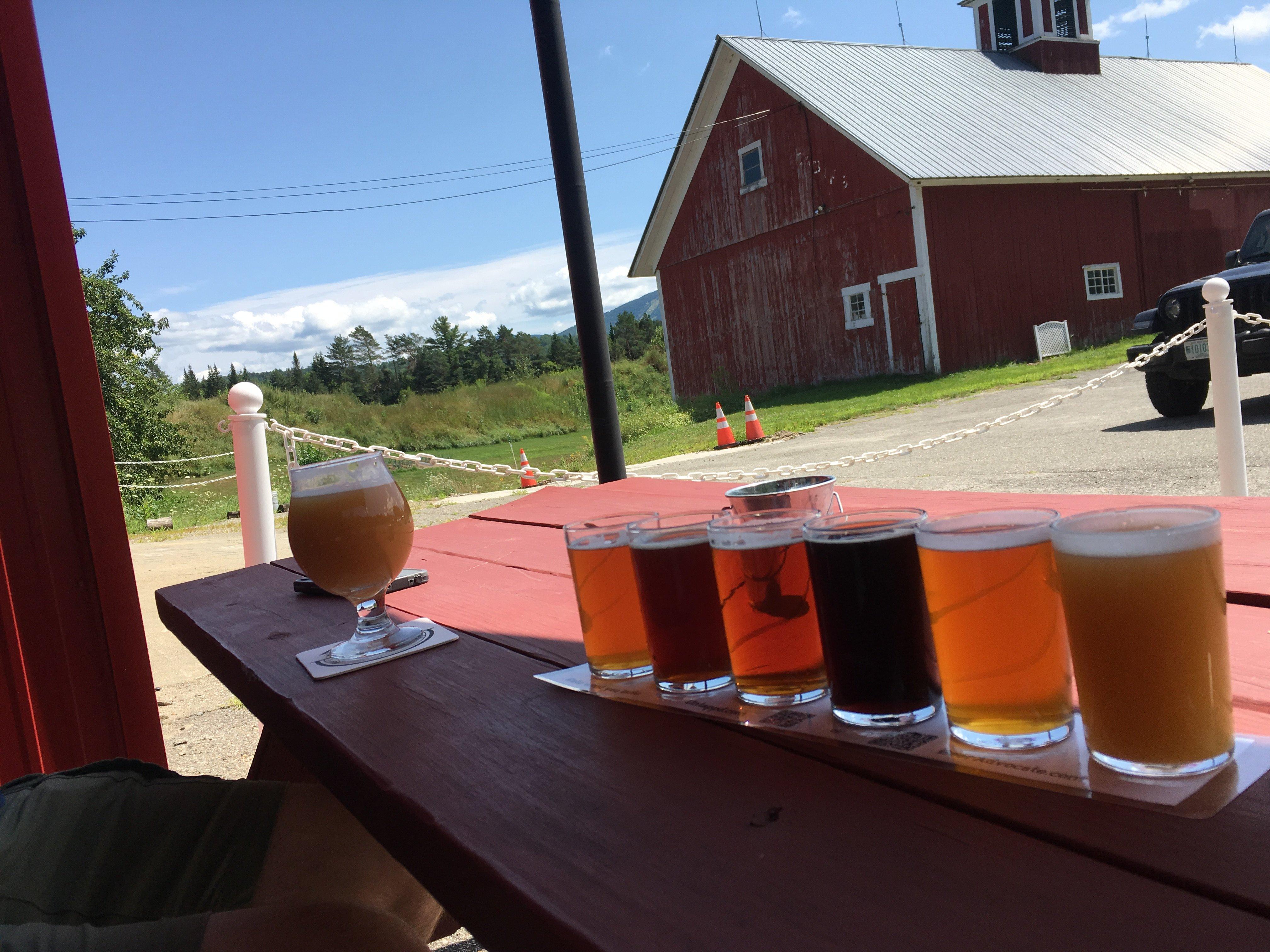
Dine and drink
Eat and drink your way through town.
Can't-miss activities
Culture, natural beauty, and plain old fun.
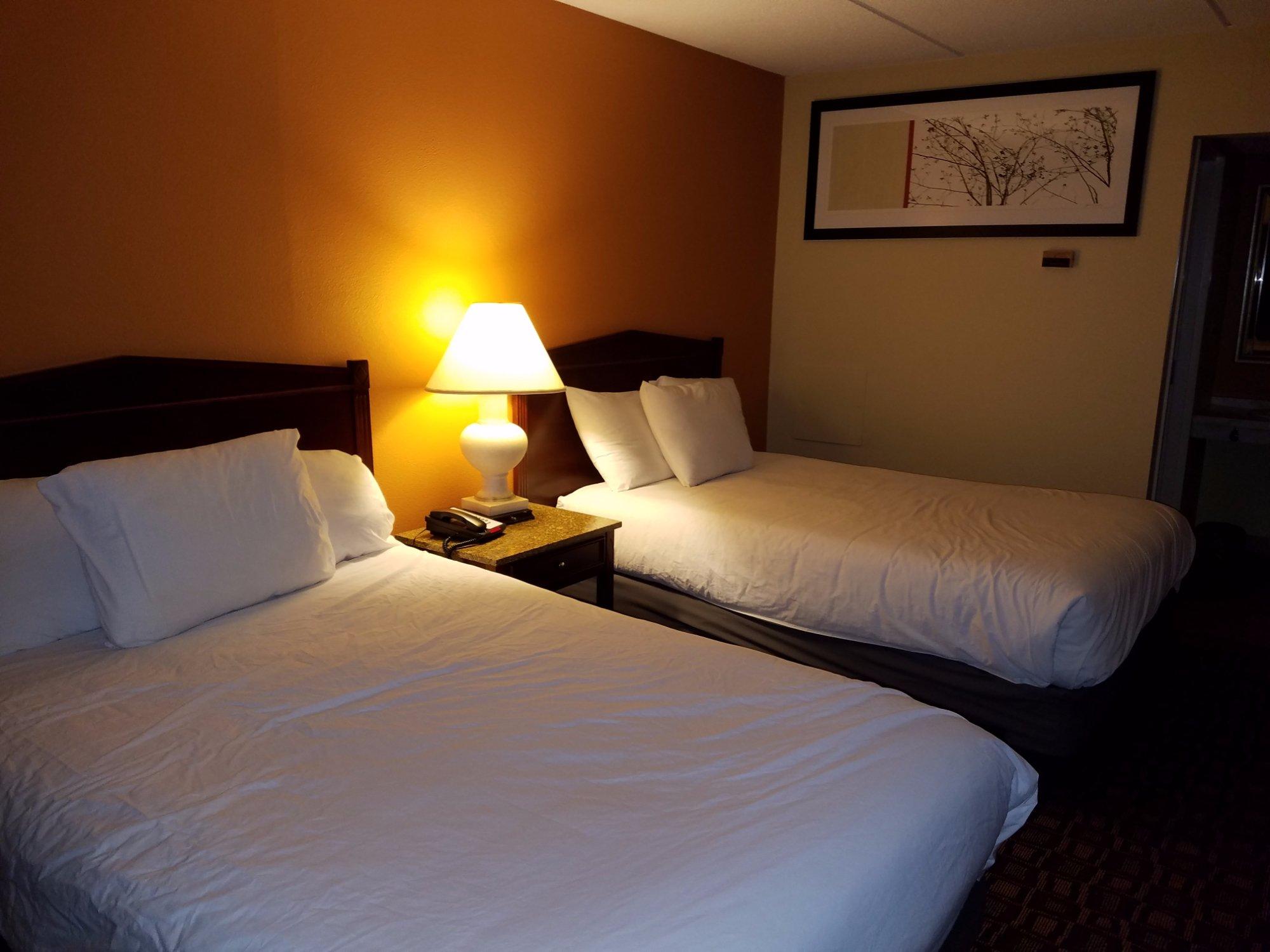
Places to stay
Hang your (vacation) hat in a place that’s just your style.
Advertisement


